Polski · Outdoor GPS
Garmin Montana 750i Review: A Big Rugged Handheld GPS With Real Trade-Offs
A practical look at the Garmin Montana 750i, including the large daylight-readable screen, inReach messaging, map package, battery behavior, and who should buy it.
Introduction
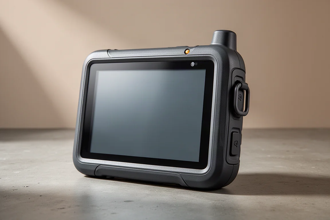
The Garmin Montana 750i is the most feature-complete model in the Montana handheld series. It pairs a large touchscreen with inReach satellite messaging and an integrated camera, and it is built for a hybrid role that covers hiking on foot as well as motorized off-road use such as ATV riding.
Two closely related models sit alongside it. The Montana 700i keeps the same core hardware but leaves out the camera. The Montana 700 keeps the camera-free configuration and also leaves out inReach, so satellite messaging is not available on that version. Anyone comparing the three should start by deciding whether they need the camera and whether they need inReach, because those two features account for most of the differences between them.
The 750i is genuinely capable, and it is unlike any other handheld GPS currently on the market in terms of size and presence. It is also not a device that suits every outdoor user. Several design choices are real strengths and several are genuine limitations, and some of those limitations will be deal breakers for particular kinds of trips. What follows is a practical breakdown of where the unit performs well, where it struggles, and who should consider it.
Who this product is for
The Montana 750i makes the most sense for a fairly specific set of users.
Existing Montana owners who want inReach satellite messaging or a more powerful unit will find it a natural step up. Geocachers who value an integrated camera and a large touchscreen also fit the target profile, particularly if having photos tied into the wider Garmin ecosystem matters to them.
Motorized users are another strong fit. ATV riders, and hunters who ride an ATV and then continue on foot across land, benefit from a device that can be mounted on a vehicle and then carried. Overlanders who want road navigation and trail navigation from a single unit can run it on a dashboard and then take it along on foot.
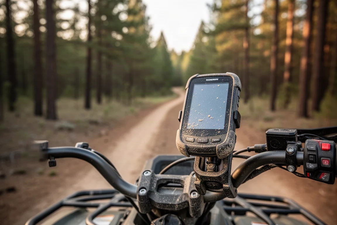
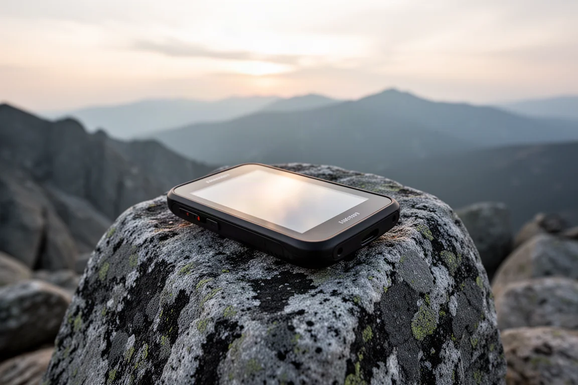
Hikers who want a large touchscreen and who do not spend long days in adverse conditions are also well served, provided their outings stay within the battery limits described further down. The unit is big, solid, and purpose-built for the outdoors, and that build quality is part of the appeal.
If you do not fall into one of those groups, the size and battery behavior of the 750i are harder to justify. A smaller handheld, or a compact satellite communicator paired with a smartphone, may cover the same needs with less weight and longer runtime.
Main strengths
The 750i’s strengths cluster around the screen, the interface speed, the map package, and the rugged chassis. Each of these is meaningfully better than what older, smaller handhelds offer.
A large, daylight-readable display
The screen is the centerpiece. It measures 400 by 800 pixels and uses transflective technology, which reflects sunlight back so the display stays readable in bright conditions. It also has a backlight for use after dark. Regular maps and raster imagery both look sharp and detailed on it.
That size has a physical cost. The unit is noticeably larger and heavier than other Garmin handhelds, and the body is wide enough that an average adult hand barely wraps around it. The power button stays reachable while holding it, which helps, but this is not a pocket device.
There is a status LED above the screen that blinks green when an inReach message arrives and red for low battery or for a message that failed to send. It is a small detail that makes the satellite features easier to monitor without unlocking the screen.
A faster, more responsive interface
The interface follows the familiar Garmin handheld layout, with the same app icons, presented in touch format. Icons can be rearranged, extra functions can be added, and the unit works in both portrait and landscape. A persistent menu bar stays visible on every page and can be customized, and a sub-menu button inside each page opens additional options.
Screen redraws are noticeably quicker than on older handhelds, thanks to a faster processor. Panning and pinch zooming feel responsive, and the map display is among the quickest available on a Garmin handheld. There is a trade-off: pushing redraw speed higher increases battery drain.
Tapping the power button opens a status page with quick links for brightness, camera shortcuts, activity information, and weather. That page is customizable, and a double tap turns the screen off.
Maps, search, and navigation
The unit ships with TopoActive hiking and off-road maps, City Navigator street maps for roads and points of interest, and public land boundary maps. All of these can be toggled on or off, and terrain shading can be switched on when it is useful. A lifetime BirdsEye satellite imagery subscription is included. The satellite imagery is serviceable, but it is not as detailed as the mapping most people are used to on a phone.
Automatic map routing is one of the more useful options for mixed use. With it enabled, the unit selects the appropriate map for the activity you have chosen, so a hiking profile routes along trails while a driving profile routes on roads. Custom maps, such as scanned topographic sheets, can also be loaded, and the TopoActive maps carry a good amount of trail detail.
Search works through a Where To menu rather than a single universal search field. You pick a category, or use the spell search option to bring up a QWERTY keyboard and type a name. That keyboard is a genuine advantage of the larger screen. Search itself can be slow at times, and there is no way to simply type a query and search everything at once. Because both topographic and street maps are loaded, the number of searchable points of interest is generous, so a restaurant or a shop is still findable even on a hiking day.
Navigation follows the standard Garmin handheld model. You can record activities, export activities to tracks, drop waypoints, set proximity alarms, use waypoint averaging, and follow routes or tracks on the fly. None of it is new, but the larger screen and clearer visualizations make it a more pleasant experience than on a compact handheld. Waypoints can be dropped by pressing and holding on the map, though the touchscreen is sensitive enough that waypoints can also be created accidentally while panning around.
The altimeter and barometer behave much like those on other Garmin handhelds. Calibrating often and treating the readings as a rough guide rather than a precise measurement is the sensible approach.
GPS accuracy and inReach messaging
Positional accuracy is good. In typical use it lands between roughly six and ten feet, and it rarely drifts beyond 20 to 25 feet, which is acceptable for handheld navigation. The 750i and 700i use GPS and Galileo, while the Montana 700 adds GLONASS. Battery life can be extended by turning Galileo off, since running fewer satellite systems reduces power draw.
inReach satellite messaging behaves the same as on other Garmin handhelds, and the QWERTY keyboard makes a real difference here. Typing custom messages is far easier than cycling through presets, and if you ever trigger an SOS and need to exchange information with rescue personnel, the keyboard makes that correspondence much more practical to handle on the device itself.
Rugged build and mounting options
The 750i carries a MIL-SPEC durability rating, covering shock, temperature, dust, and water resistance beyond what most Garmin handhelds offer. The exact submersion depth is worth confirming against the specification before relying on it, but the chassis is clearly designed to take more abuse than a standard handheld.
Mounts on the back accept bicycle and vehicle cradles, which supports the hybrid on-foot and on-vehicle use case. An external antenna connection supports GPS, Galileo, and GLONASS positioning and can also serve as an Iridium antenna, which can help in a vehicle installation.
Physical controls are limited: an SOS button for inReach, a power and toggle button, and a micro USB port on the bottom that allows the unit to be powered while in use. A flashlight sits on the back with multiple settings, including a strobe. The battery pack twists open, and a microSD card slot underneath accepts cards up to 32GB.
Things to consider before buying
The limitations here are not minor quirks. They shape which trips the device suits.
Battery life
Battery life is the weakest part of the package. Garmin rates the unit for up to 18 hours of continuous use, and that figure holds up in practice when tracking is set to 10-minute intervals, the screen stays off, and the device is carried in a pack. Under those conditions it drains roughly five to six percent per hour.
Actual screen use changes the picture sharply. Checking the map, sending messages, and working through navigation pushes consumption to roughly eight to ten percent per hour, which brings runtime down to somewhere between 10 and 12 hours. That is a meaningful constraint for anyone planning long days on the move.
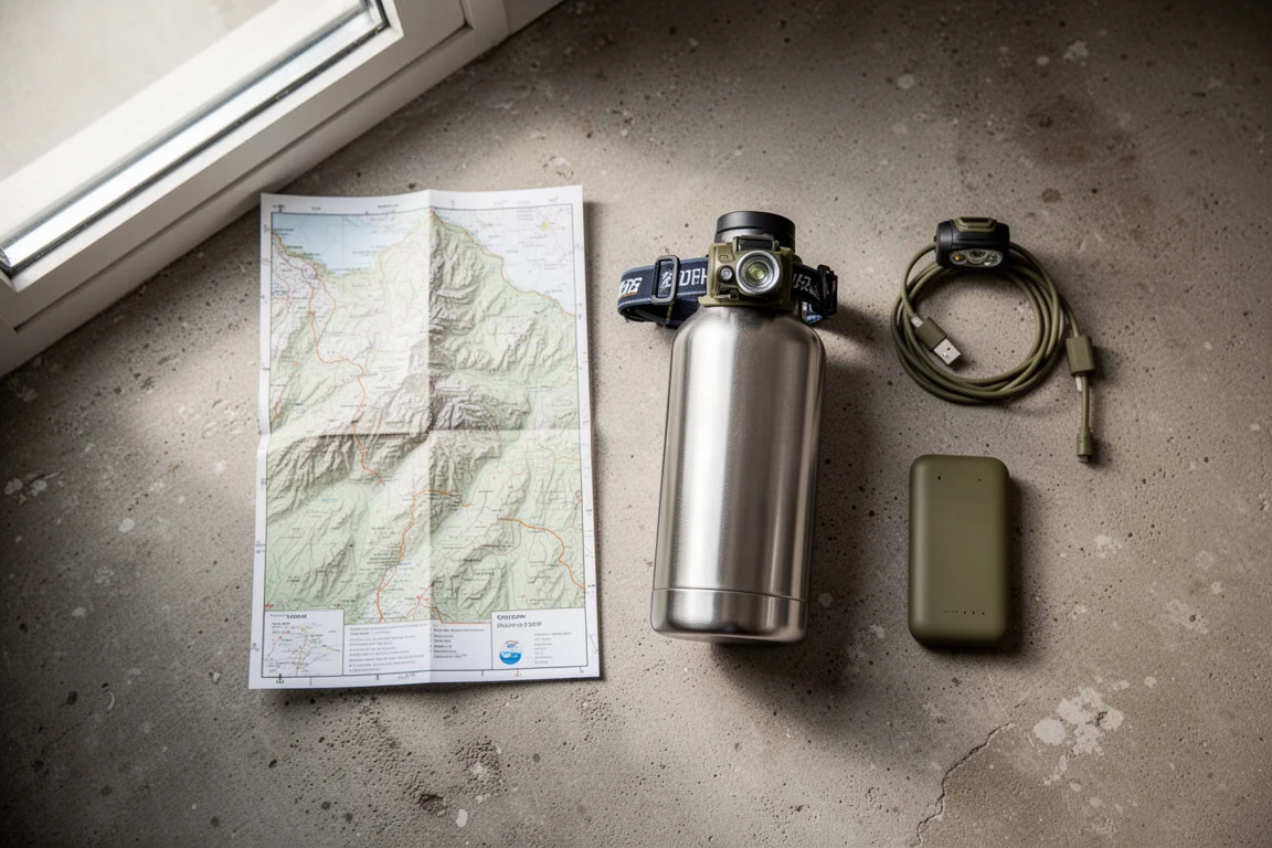
The battery is proprietary on the 750i and 700i, so carrying a spare means buying another Garmin pack. The Montana 700 supports an AA battery adapter in the same compartment, which gives that model a flexibility the 750i does not have. The unit can also be charged over micro USB while in use, though it charges more slowly than a compact satellite communicator or a phone.
Expedition mode is advertised at up to 300 hours, but realistic results land closer to 30 hours with one-hour tracking intervals and automatic settings. The track points recorded in that mode are spaced so far apart that the resulting log reads as a series of straight lines rather than a usable trail. It is useful for occasional location check-ins, but it is not a substitute for proper tracking.
Touchscreen limits in heavy rain
The touchscreen offers a normal mode and a glove mode. Glove mode works, but it is less responsive, and taps do not always register on the first attempt, sometimes requiring a firmer or repeated press.
The bigger issue is rain. A few droplets on the glass are fine, but in driving rain the screen becomes erratic and effectively unusable. Anyone who expects to operate the device in sustained rain will need to shield the screen, which is awkward when the interface depends almost entirely on touch. Fair-weather use, or use with a screen cover, sidesteps the problem entirely.
Camera value
The 750i includes an 8-megapixel camera that can be switched to 5 megapixels to save storage space. Image quality is acceptable but not impressive, and it will not match a modern smartphone.
The real value is geotagging. Photos taken with the unit carry coordinates, so a picture of a junction, a water source, or a landmark appears in the correct place when imported into Garmin Basecamp. For geocachers who want photos tied into that ecosystem, the camera earns its place.
For general photography, a smartphone will produce better results and can geotag photos as well. Photos captured on the unit appear as small dots on the map rather than thumbnails, which makes them harder to review on the device, and there is currently no option to attach a photo automatically when marking a waypoint.
Buying advice
The Montana 750i is a strong choice if you want inReach satellite messaging in a large, rugged handheld with an integrated camera. It also suits geocachers who want a big touchscreen and geotagged photos, ATV riders and hunters who switch between vehicle and foot travel, hikers who want a large screen and stay within about 10 hours of use in fair weather, and overlanders who want one device for both road and trail navigation.
It is a weaker fit if you regularly travel in heavy rain, need multi-day endurance from a single charge, or want to travel as light as possible. The touchscreen behaves poorly in sustained rain, and the battery drains quickly whenever the screen is on. If the camera is not important to you, the camera-free version of the same unit covers the identical core hardware.
Alternatives are worth weighing before committing. A smaller button-operated handheld from the same family offers a lighter body, longer battery life, and the same core navigation and satellite messaging features without depending on a touchscreen. For the lightest setups, a compact satellite communicator paired with a smartphone running an offline mapping app covers messaging and navigation with far less weight, though it gives up the purpose-built, rugged hardware and the large integrated display.
It is also worth being realistic about in-vehicle use. The 750i works on a dashboard and can handle road navigation, but the interface is clunkier than a purpose-built automotive GPS and lacks refinements such as lane guidance. Treat car navigation as a convenience rather than its primary strength.
Conclusion
The Garmin Montana 750i delivers what it promises: a big, tough, daylight-readable handheld with inReach messaging, a wide map package, and an optional camera for geotagged field notes. For ATV riders, hunters, overlanders, geocachers, and fair-weather hikers who value a large touchscreen, it is a genuinely useful piece of kit.
Its limits are just as clear. Battery life drops quickly once the screen comes on, the touchscreen struggles in driving rain, and the camera is best thought of as a geotagging tool rather than a camera. Buyers who can live with those trade-offs will get a capable, durable outdoor navigator. Buyers who cannot should look at a lighter button-operated handheld or a compact satellite communicator paired with a smartphone.
Link do produktu
Zobacz więcej szczegółów: Garmin Montana 750i
Ten produkt jest wymieniony w tej recenzji. Przed zakupem sprawdź specyfikację, dostępne warianty i kompatybilność.
Zobacz więcej szczegółów: Garmin Montana 750iWięcej do przeczytania
Powiązane recenzje

Mountain Bike Tires
Najlepsze opony trailowe do roweru górskiego: siedem propozycji pod kątem przyczepności, szybkości i trwałości
Praktyczne zestawienie siedmiu opon trailowych — od modeli nastawionych na maksymalną przyczepność po szybko toczące się uniwersały — wraz z kompromisami, które warto sprawdzić przed zakupem.
Mountain Bike Upgrades
Najlepsze ulepszenia roweru górskiego 2026: 11 części, które poprawiają odczucie jazdy i kontrolę
Jedenaście ulepszeń roweru górskiego — od zawieszenia i hamulców po opony i ochronę przed błotem — wraz z mocnymi stronami i kompromisami, które warto rozważyć przed zakupem.
Mountain Bike Upgrades
Najlepsze ulepszenia roweru górskiego w rozsądnym budżecie: 9 części wartych zakupu w 2026
Dziewięć przyjaznych dla portfela ulepszeń roweru górskiego — od czterotłoczkowych hamulców i wygodnych gripów, przez krótką sztycę opuszczaną, po szybsze koła i błotnik pasujący do nowoczesnych amortyzatorów.