Handheld GPS
Garmin Montana 750i Review: A Big, Rugged Handheld GPS With Real Trade-Offs
A practical look at the Garmin Montana 750i, covering the large transflective touchscreen, inReach messaging, preloaded maps, the camera, battery behaviour, and the trade-offs worth weighing before buying.
Introduction
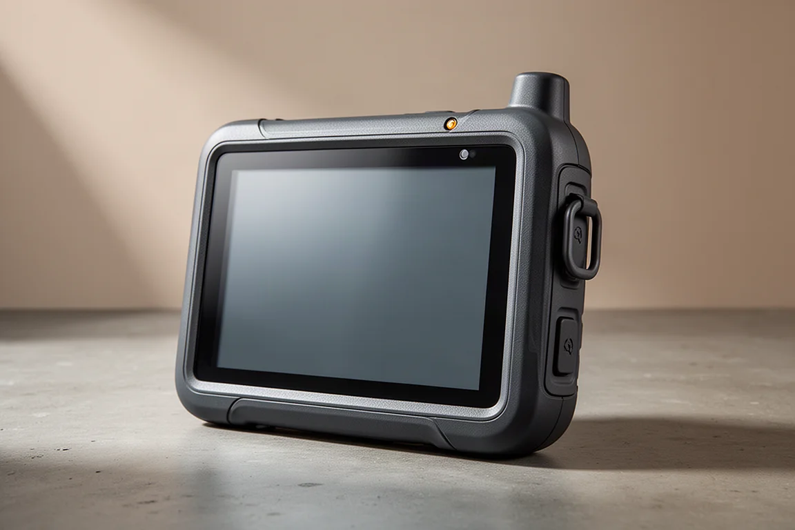
The Garmin Montana 750i is the largest and heaviest handheld in the current Garmin range, and that is very much the point. It is a hybrid instrument: a hiking navigator that can also be mounted on a bicycle or on the dashboard of an ATV, side-by-side, or overland vehicle. Compared with smaller Garmin handhelds, the difference in hand feel is immediate. The screen occupies almost the entire front face, and the body is thick enough that an average adult hand barely wraps around it.
The 750i also sits at the top of a three-model family, and the differences are worth understanding before ordering. The Montana 750i includes both a built-in camera and inReach satellite communication. The Montana 700i keeps inReach but removes the camera. The Montana 700 removes inReach and adds GLONASS support instead.
After a few months of regular use, the picture is a mixed one. There is a great deal here that works well, particularly the display, the maps, and the positioning accuracy, but there are also compromises that will rule the device out for some buyers entirely. The sections below cover what stands out, what to check before buying, and which type of user gets the most from it.
Who the Garmin Montana 750i Is For
The 750i suits a fairly specific set of users, and it rewards them well. Existing Montana owners who want inReach messaging or a faster, more responsive unit will feel at home immediately. Geocachers who value a camera that ties directly into the device and the wider Garmin ecosystem are another natural fit, since photos are geotagged as they are captured.
Motorised users make up the strongest case. ATV riders and hunters who ride to a location and then continue on foot get one device that works in both situations, and the back of the body accepts mounts for a vehicle as well as a bicycle. Overlanders get the same benefit: the unit can sit on a dashboard for road navigation and then move into a pocket for the trail.
Hikers who want a large touchscreen can also be very happy here, provided they mostly head out in reasonable weather and are not planning days much longer than ten hours.
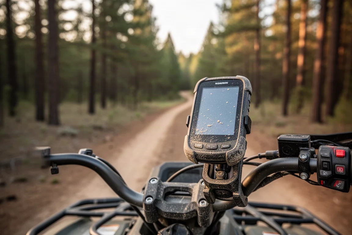
If that description matches how you actually use a handheld, the size and weight stop being drawbacks and become the reason the device works so well. If it does not, those same physical traits become the main argument against it.
Design and Build Quality
The first thing to note is the durability rating. The Montana 750i is built to the MIL-STD-810 military standard, which means it is shock resistant, temperature resistant, dust proof, and waterproof. That puts it ahead of most other Garmin handhelds, which are not rated to the same standard, and it feels accordingly solid in the hand.
Controls are deliberately minimal because almost everything happens on the touchscreen. There is a dedicated SOS button for inReach, a power and toggle button on the side, and a micro USB port on the bottom that allows the unit to be powered while it is in use. The rear of the body carries a flashlight with several settings including a strobe, the camera lens on the 750i, a lanyard attachment, and the battery compartment.
There is also a connector for an external antenna, which can work with GPS, Galileo, and GLONASS positioning systems, and it doubles as an Iridium antenna connection for inReach. The battery door twists open, and the pack inside is proprietary to the 700i and 750i. Only the Montana 700 can accept a AA battery adapter in the same slot. A microSD card slot sits under the battery and accepts cards up to 32 GB, which is useful if you want to add maps beyond the preloaded set.
Main Strengths: Display and Interface
The display is the headline feature. It measures 400 by 800 pixels and uses transflective technology, meaning it reflects sunlight to stay readable in bright conditions, while a backlight keeps it usable after dark. Maps look sharp, whether they are standard vector maps or scanned raster maps.
Performance is a genuine step up from older Garmin handhelds. Map redraws are noticeably quicker, panning is smooth, and pinch to zoom works well. There are screen settings that trade battery life for even faster rendering if you prefer. The interface follows the familiar Garmin structure, with movable home icons, a persistent menu bar along the bottom that stays in place across pages, and a submenu button for page specific options. Tapping the power button opens a status page with brightness, camera shortcuts, activity details, and weather, and that page can be customised.
A small indicator light above the screen blinks green for an incoming inReach message and red for low battery or for a message that failed to send.
Touch input deserves an honest note. There are two modes, a normal mode and a glove mode, and glove mode works but is not perfect. Taps do not always register and sometimes need a firmer or repeated press. In light rain the screen copes with a few droplets, but in heavy, driving rain it becomes effectively unusable. If you routinely navigate in sustained rain, that limitation is significant.
Main Strengths: Maps, GPS, and InReach
The unit ships with a strong map set. TopoActive maps cover hiking and off-road use with trail detail and terrain shading. City Navigator maps add roads and points of interest such as restaurants and shops. Public land boundary maps are included and can be shaded, which is handy for hunting. A lifetime BirdsEye satellite imagery subscription is also part of the package, although the imagery quality is acceptable rather than impressive.
There is a useful automatic map setting that routes you on the appropriate map for the chosen activity, so a hiking route follows trails while a driving route follows roads. Custom maps can be loaded as well, including scanned topographic sheets.
Searching works through a Where To menu with categories, and a spell search option brings up a full QWERTY keyboard, which is a real advantage on a device this size. Because the unit holds both topographic and street maps, the number of searchable points of interest is large, so you can look up a restaurant mid-hike. Search can occasionally be slow, and there is no single free-text box that searches everything at once.
Positioning accuracy has been consistent, generally landing between six and ten feet and rarely worse than twenty to twenty five feet. The 750i and 700i use GPS and Galileo, while the Montana 700 adds GLONASS. Turning Galileo off extends battery life if you need the extra runtime.
InReach messaging behaves the same way it does on other Garmin handhelds, with the same satellite network behind it. The difference here is the QWERTY keyboard, which makes it far easier to type custom messages rather than relying on preset text. That matters if you ever need to exchange detailed information with rescue personnel during an SOS.
Battery Life and the Camera
Battery life is the weakest part of the package. Garmin rates the unit at up to 18 hours of continuous use, and that figure holds up in practice, working out to roughly five to six percent of charge per hour when tracking is set to ten minute intervals and the screen stays off in a pack. The moment you start using the screen, the drain climbs to around eight to ten percent per hour, which brings realistic runtime down to roughly ten to twelve hours.
The battery is swappable, but the packs are proprietary, so a spare is an extra purchase. Charging over micro USB works, though it takes longer than charging a phone. Expedition mode is less useful than the advertised numbers suggest. Garmin lists up to 300 hours, but in real use it lands closer to 30 hours with one hour tracking and automatic GPS logging. Track points in that mode are spaced so far apart that the recorded line becomes a series of straight segments rather than a usable trail, which limits it to basic location sharing rather than navigation.
The camera is exclusive to the 750i. It captures eight megapixel images and can be switched to five megapixels to save space. Image quality is adequate but clearly below what a modern smartphone produces. The real value is geotagging: a photo of a junction, a spring, or a landmark is stored with coordinates and appears on the map when imported into Garmin Basecamp. On the device itself, photos show up as small dots on the map rather than thumbnails, which makes them harder to browse than they should be.
Things to Consider Before Buying
Several trade-offs are worth weighing before ordering. The touchscreen is both the primary interface and the primary battery cost, so heavy on-device planning shortens runtime quickly. Glove use is workable but imprecise, and sustained rain makes the screen unusable unless you shelter it.
The size and weight that make the device comfortable to hold also make it heavier in a pack than a smaller handheld. As a driving navigator it works, but it is clunkier than a purpose-built automotive unit and lacks features such as lane guidance. Dropping a waypoint by pressing and holding the screen is convenient, though the touch layer is sensitive enough that accidental waypoints are easy to create while panning. The altimeter and barometer behave like those on other Garmin handhelds, so calibrating often and treating the reading as a rough guide remains sensible.
Finally, the camera is worth paying for only if you specifically want geotagged images inside the Garmin ecosystem. If you are simply taking photos to share, a smartphone does the job better.
Buying Advice
The 750i is a strong choice if you want a large touchscreen, rugged MIL-STD-810 construction, inReach messaging with easy message typing, and one device that moves between vehicle and trail. It is a particularly good fit for ATV riders, hunters, geocachers, and overlanders, and for hikers who stay out of heavy weather and keep days under about ten hours.
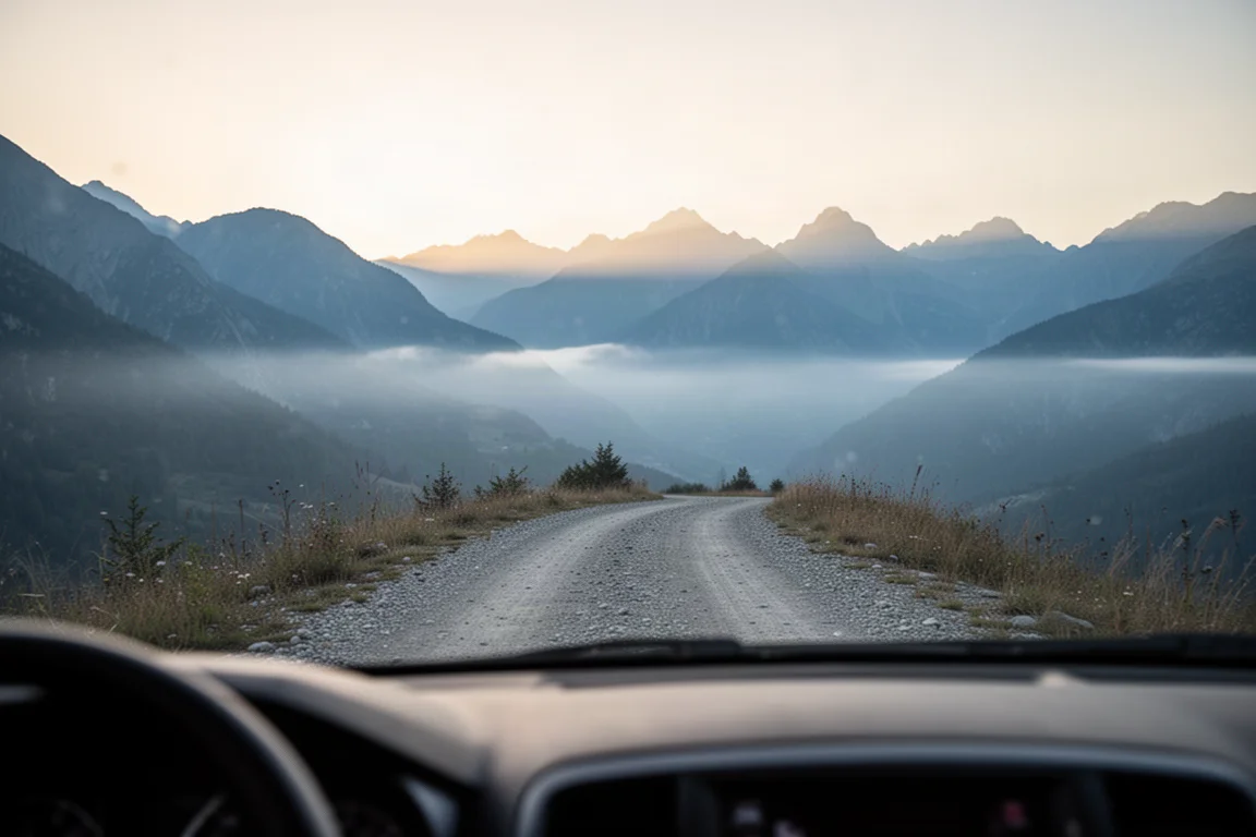
If those conditions do not describe you, look at the alternatives before committing. A smaller Garmin handheld such as the GPSMAP 66i offers a lighter body and longer battery life with a smaller screen, and it covers the same core navigation functions. For genuinely lightweight trips, an InReach Mini paired with a smartphone running offline mapping software is a common and very portable setup, though it is not a purpose-built outdoor instrument. For road driving specifically, a dedicated automotive navigator remains smoother and more polished.
Conclusion
The Garmin Montana 750i earns its place as a top-tier outdoor handheld. The display is excellent, the maps are comprehensive, positioning is accurate, and inReach messaging is easier to use here than on any button-driven device. It is also large, heavy, and dependent on a screen that struggles in the rain and drains the battery quickly. Buy it for the combination of a big touchscreen, rugged durability, and satellite messaging, and go in knowing exactly where the compromises sit.
Product link
View more details for Garmin Montana 750i
This product is mentioned in the review. Check the specifications, options, and compatibility before buying.
View more details for Garmin Montana 750iFurther reading
Related Reviews
Handheld GPS
Garmin eTrex Touch Review: Rugged Handheld GPS With Real Trade-Offs
A detailed look at the Garmin eTrex Touch, covering real battery runtime, GPS accuracy, all-weather touchscreen performance, and the software quirks to weigh before buying.
Handheld GPS
Garmin GPSMAP 65 Review: Multi-Band Precision in a Familiar Handheld
A hands-on look at the Garmin GPSMAP 65, its multi-band GNSS precision, elevation accuracy, battery life, maps, and who should buy it.
Handheld GPS
Garmin GPSMAP H1 Review: A Capable Handheld Navigator That Still Needs Polish
A close look at Garmin's flagship handheld navigator: accurate tracks after months of firmware updates, dependable inReach messaging, and the screen and battery trade-offs to weigh before buying.