Outdoor Navigation Apps
WorkOutdoors Review: Turning an Apple Watch Into a Serious Hiking Navigator
A practical look at WorkOutdoors, the paid Apple Watch app that adds GPX route following, offline trail maps, custom data screens, and off-route alerts for hikers.
Introduction
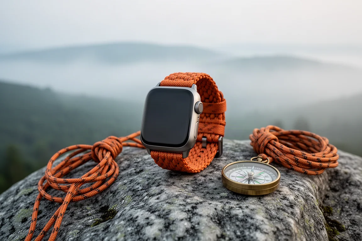
WorkOutdoors is a paid app for Apple Watch that expands the watch into something much closer to a dedicated outdoor sports watch. From a software standpoint, the scope is comparable to the feature set people associate with multisport watches such as the Garmin epix, fenix, or Forerunner families: structured workouts, intervals, and tracking across a wide range of activity types. This review focuses on one of those activity types, hiking, because that is where the app’s navigation tools do the most work.
The app is inexpensive, costing a few dollars as a one-time purchase. It is also worth being clear about what it is not. WorkOutdoors is a route-following and data tool rather than a guided turn-by-turn system. It shows a line on a map, tells you when you drift away from that line, and lets you build the exact data readouts you want. For a lot of hikers, that is exactly enough.

The setup model is worth understanding before anything else. The phone app acts as the control centre, and most settings are adjusted there and then pushed to the watch with a single send action. Some adjustments can be made directly on the watch, but the phone is where the deeper customisation lives. Once that clicks, the rest of the app becomes straightforward.
Who this product is for
This app suits hikers and trail walkers who already own an Apple Watch and want real navigation capability without carrying a second device. It is a strong fit if you plan routes in advance, whether you pull them from a trail database or draw them yourself, and then want to follow that line confidently on the move.
It is also a good match for people who care about data. If you like knowing your total ascent, your rolling pace over the last mile, and whether you are ahead of or behind a target pace, the app gives you the tools to put all of that on your wrist in the layout you prefer.
It is less of a fit if what you want is spoken turn-by-turn directions at every junction. WorkOutdoors keeps you on a line; it does not narrate the route. Hikers who want spoken prompts should weigh that limitation carefully before buying.
Main strengths
The core appeal is control. Almost every visible element, from the map style to the data fields to the physical buttons on the watch, can be reshaped around how you actually hike.
Trail navigation with offline maps
Routes come in through GPX files, which is the common format used by trail databases and route-planning tools. You can download a route as a GPX track from a hiking site, or draw your own line and add waypoints using a free planning tool. Getting the file onto the watch is a short process: drop it into cloud storage or send it across wirelessly, then open the Routes tab in the app, choose Import, and pick the file. From there, one tap sends the route to the watch.
Map tiles are downloaded separately and stored on the watch, which means the route and the surrounding map stay available offline. Downloaded areas appear as a darker shaded region, so it is easy to confirm what has been transferred. The map styles are built on OpenStreetMap data, and the Thunder Forest option adds contour lines, making it noticeably more trail-focused than a standard road map. Shading and colour schemes can be adjusted, including an above-and-below colour treatment: set one colour for higher ground and another for lower ground, and a two-dimensional contour map suddenly reads much faster at a glance.

Waypoints carried inside a GPX file appear on the map as well. On a longer hike with several points of interest, you can open the route list, jump to a waypoint, and see it on the map ahead of you. Routes can also be reversed, deleted, or switched between standard and hollow display, where the route becomes two boundary lines rather than a single track. Hollow mode is available for anyone who prefers it, though it does add visual clutter.
Data screens you can shape yourself
The Screens tab controls which pages appear for each activity. Hiking, running, and everything else can each have their own set. Screens can be added, removed, or replaced with ready-made layouts, and the library of available data fields is very large, enough to rival what dedicated sports watches offer.
A practical hiking layout might combine elapsed time, distance, total ascent, rolling pace over the last mile, and time versus target. Rolling pace is especially useful on trails because it averages your speed across a mile instead of reacting to every short pause or burst. Adjusting the text size changes how many screens fit in a given layout, which is a small but genuinely helpful detail when you are choosing what to display.
Alerts that keep you on route
The off-route alert is the feature that changes how a hike feels. It can be switched on per activity, and the tolerance is adjustable, so you decide how far from the line you are willing to drift before the watch buzzes. For hiking, a tolerance of around 10 metres, roughly 30 feet, is a sensible setting. That level of tolerance control is a standout detail.
Status updates are the second useful alert type, and up to three can be configured. Each one has two independent parts: an on-screen message and a voice announcement, and the two can report different things. A typical setup shows time and distance on screen while the voice adds altitude. Each update can be triggered by a haptic vibration, and the shake gesture can invoke one too, which is handy when your hands are busy. Shortcut gestures handle the physical controls: the crown and side button combination can start and stop an activity without touching the screen, and the action button can be assigned to lock the screen. Screen lock matters more than it sounds, because an unlocked watch is easy to swipe accidentally mid-hike.

Pace targets round out the picture. Setting a target pace, such as a 20 minute mile, gives you a live indicator of whether you are ahead of or behind schedule, shown in green when you are faster and red when you are slower. A target distance can be entered as well to produce a distance remaining readout, though that figure is based purely on the number you typed rather than the route itself, so it drifts if you detour or stop for long. Pausing when you take a break keeps it honest.
Things to consider before buying
There are no spoken turn-by-turn instructions. At an intersection you consult the watch and check which way the line goes. For most hikers this is a minor adjustment, but anyone expecting audio cues at every junction should know this going in.
Setup happens on the phone first. Changing alerts, screens, or map styles means making the change in the app and sending it to the watch before it takes effect. It is a quick step, but it is a step, and it is best done before you leave rather than at the trailhead.
The distance remaining figure depends on a target distance you enter manually. It has no relationship to the actual route line, so treat it as an estimate rather than a measurement.
Battery life deserves planning. Low power mode turns the screen off when you are not looking at it, and airplane mode cuts the radios, both of which help on longer days. Because the route and map tiles are stored on the watch, navigation continues to work without a connection.
Hollow route mode exists but was left unused here in favour of a cleaner screen. It is a preference rather than a necessity.
Buying advice
The strongest way to evaluate this app is to run one real hike through it. Import a GPX route from a trail database or draw your own, send it to the watch along with the map tiles, and set the off-route tolerance to something tight, around 10 metres, so the alert actually means something. Set a target pace if you like live feedback, and switch on low power mode and airplane mode before you start.
On the trail, the workflow is simple: pick hiking from the activity list, swipe between your screens, double tap the map for a full-screen view, and use the scroll wheel to zoom. The map redraws quickly, and the compass rose lets you switch between north up and course up. When you finish, a long press ends the activity, and the workout is saved to the Workouts tab with full statistics and an elevation graph. From there you can export it as a GPX file, push it to Strava, or save the track as a route for next time.

For a few dollars, that is a substantial amount of capability added to a watch you already own. The main thing to weigh is whether route-following without spoken prompts matches how you navigate.
Conclusion
WorkOutdoors earns its place as a hiking tool by doing the unglamorous parts well. It gets a route onto your wrist, keeps the map available offline, warns you when you drift off the line, and lets you decide exactly what information you see while you walk. The learning curve is real but short, and most of it happens once, at home, before the first hike.
If you want a guided, voice-narrated navigation experience, this is not the app for you. If you want a precise, customisable line to follow with data you chose yourself, it is a confident recommendation and one of the more capable ways to turn an Apple Watch into a trail navigation device.
Product link
View more details for WorkOutdoors
This product is mentioned in the review. Check the specifications, options, and compatibility before buying.
View more details for WorkOutdoorsFurther reading
Related Reviews
Outdoor Navigation Apps
AllTrails Plus Review: Is the Paid Tier Worth It for Hikers?
AllTrails Plus adds offline map downloads, weather overlays, live tracking, and off-course alerts on top of a free trail database that is already genuinely useful.
Outdoor Navigation Apps
Footpath App Review: Offline Apple Watch Navigation for Hikers
A practical look at the Footpath app for Apple Watch, covering offline maps, route planning, GPX imports, voice prompts, and what the premium subscription unlocks.
Backpacking Gear
Backpacking Gear List 2026: A Comfort-Focused Three-Season Kit
A comfort-focused three-season backpacking gear list covering the pack, shelter, sleep system, water treatment, cook kit and layering, with notes on what each piece is good for.