Outdoor Navigation
onX Backcountry Review: Trail Navigation That Keeps a Trip on Course
A practical look at onX Backcountry, from topographic and satellite route planning to waypoints, trail steepness colouring, and the habits the app rewards.
Introduction
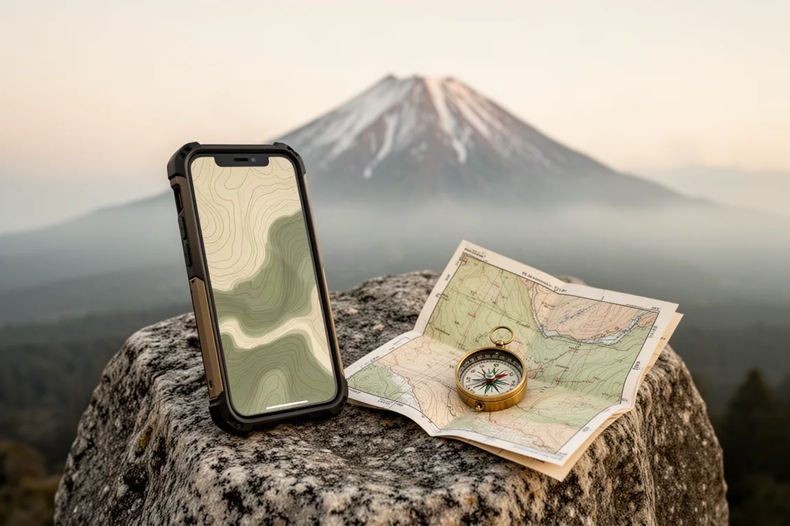
Backcountry navigation has a way of exposing every gap in a plan. Trails vanish under blowdowns, saved viewpoints sit behind decades of new growth, and the terrain studied at home rarely matches the ground under your boots. onX Backcountry is a mapping and navigation app built for that reality, and it was used across several days of camp to camp travel near Mount Hood in Oregon, including off trail routing and a search for a viewpoint that existed only as a saved waypoint.
This review looks at what the app does well, where it asks something of the person holding the phone, and who gets the most value from it.
Who This Product Is For
onX Backcountry is aimed at hikers, backpackers, campers, and anyone who travels on routes that are not clearly signed. Its core promise is orientation: where you are, what surrounds you, and how much effort the next stretch of trail will demand.
It suits people who plan at home and then want a dependable reference in the field. The clearest example came from a campsite that nobody in the group had ever visited. A waypoint saved in the app led straight to it, fire ring and all.

It is a weaker match for anyone who sticks to short, well marked paths close to home, where a paper map or a signpost does the job. The app earns its place when the route is longer, less obvious, or unfamiliar.
Main Strengths
Two strengths stand out. First, the app pairs topographic and satellite views of the same terrain, which makes it useful both for planning a line on a map and for confirming what that line actually looks like on the ground. Second, waypoints turn a vague intention into a specific destination that can be walked toward.
Those two ideas work together. A route can be sketched in one view, sanity checked in the other, and then anchored to a real place that someone has already recorded.
Maps, Waypoints, and Route Planning
Switching between topo and satellite views is quick and useful. Topo view was used to plan a cross country line toward a ridge, and satellite view was used to check whether a small outcropping would open up a view of the mountain. It did.
Waypoints work as the app’s organising idea. They can be dropped on a feature, such as a log jam that needed marking for later, and they can be saved by other people and followed by you. A campsite located through a saved waypoint turned out to be one of the better spots of the trip, with a fire pit and a short walk to water.

The app also accepts new information. When a ridge on the north end of a route turned out to be impassable because of downed trees, that detail could be added to the map on the spot. It is the kind of small contribution that makes shared trail data more useful for everyone who follows.
Trail Difficulty and Elevation at a Glance
One of the more practical touches is how the app colours the trail by steepness. Red segments indicate steep ground, green segments are comparatively flat, and the distinction is drawn from topographic data rather than guesswork. Elevation is displayed alongside it.
That combination changes how a route feels to plan. Instead of wondering why a two mile section is taking an hour, you can see the climb coming and pace accordingly. On a long ascent it is genuinely useful to know whether the next stretch eases off or keeps going up.
What Held Up on a Multi-Day Trip
The app was used over several days of camping and hiking, and its most convincing moment came high on a ridge after a steep climb. A waypoint marked a viewpoint that turned out to be the kind of panorama that ends up on postcards, with a snow capped peak, a lake below, and cloud drifting through the trees.
The quieter moments mattered too. A saved waypoint found the campsite. Topo view supported a decision to cut across to a ridge. Satellite view answered a simple question about whether trees would block a view.

Where the app could not help was with conditions that change faster than any dataset. A viewpoint recorded earlier had been swallowed by new growth, and a ridge was closed by fallen trees. Both are normal in backcountry terrain, and both are the sort of thing a map can only reflect once someone records it.
Things to Consider Before Buying
- The app only helps if it is checked. On one morning, camp was left without opening the map and the group immediately walked the wrong way around a lake, adding an unplanned loop and a cold barefoot stream crossing to the day. A minute with the app would have prevented it.
- Terrain data has limits. Overgrown viewpoints, fresh blowdowns, and seasonal closures may not appear until they are added, so treat saved features as strong leads rather than guarantees.
- It depends on a charged phone. A navigation app is only as reliable as the device running it, and a dead battery in the backcountry is a real problem.
- Membership tiers exist. The app is available on the App Store and Google Play, and a premium membership is offered, so it is worth confirming which tier covers the features you plan to rely on.
Buying Advice
Buy onX Backcountry if you regularly travel routes where being slightly off course costs hours, or if you like the idea of following waypoints that other people have already verified. Its value is highest during trip planning and at the specific moment when a trail junction is ambiguous and you want a clear answer.
If your hiking is mostly short and signed, the app is a convenience rather than a necessity, and a paper map may cover you. A sensible approach is to test it on familiar ground first, marking a few waypoints and following them, before relying on it for a longer trip.
Conclusion
onX Backcountry does the unglamorous work of navigation well. Topographic and satellite views, waypoint driven routing, and steepness colouring on the trail all add up to a clear picture of where you are and what comes next. It will not walk the route for you, and it will not know about the tree that fell last week, but used with a little discipline it keeps a trip on course.
Product link
View more details for onX Backcountry
This product is mentioned in the review. Check the specifications, options, and compatibility before buying.
View more details for onX BackcountryFurther reading
Related Reviews
Outdoor Navigation
Natural Atlas Review: Trail-Accurate Navigation for Hikers
Natural Atlas measures distance along real trails rather than straight lines, and pairs that with offline maps, tide predictions, and printable paper maps.
Outdoor Navigation
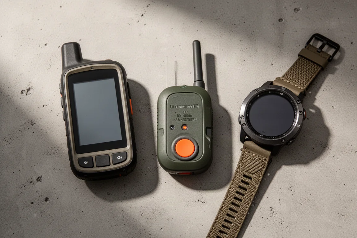
Best Satellite Communicators and Outdoor GPS Devices 2026
A practical guide to handheld GPS units, satellite messengers, beacons and outdoor watches, with the real strengths and trade-offs of each option.
Outdoor Navigation
Caltopo vs AllTrails Plus: Which Outdoor Planning Tool Fits Your Hike?
A practical comparison of two outdoor planning tools: Caltopo for detailed trip planning and terrain data, and AllTrails Plus for simple trail discovery and navigation.