Outdoor Navigation
Natural Atlas Review: Trail-Accurate Navigation for Hikers
Natural Atlas measures distance along real trails rather than straight lines, and pairs that with offline maps, tide predictions, and printable paper maps.
Introduction
Hiking navigation has come a long way, but one limitation has followed GPS apps for years: distance measured in a straight line. That number rarely matches the walking you actually have to do. A destination can sit a mile away as the crow flies and still require three miles of trail, switchbacks, and detours around cliffs to reach.
Natural Atlas takes a different approach. It measures distance and routes using actual trails rather than a straight line cut across the map, and it bundles offline map downloads, tide predictions, and printable paper maps into the same app.

This review covers what the app does well, where it still asks something of you, and who gets the most value from a subscription.
Who Natural Atlas Is For
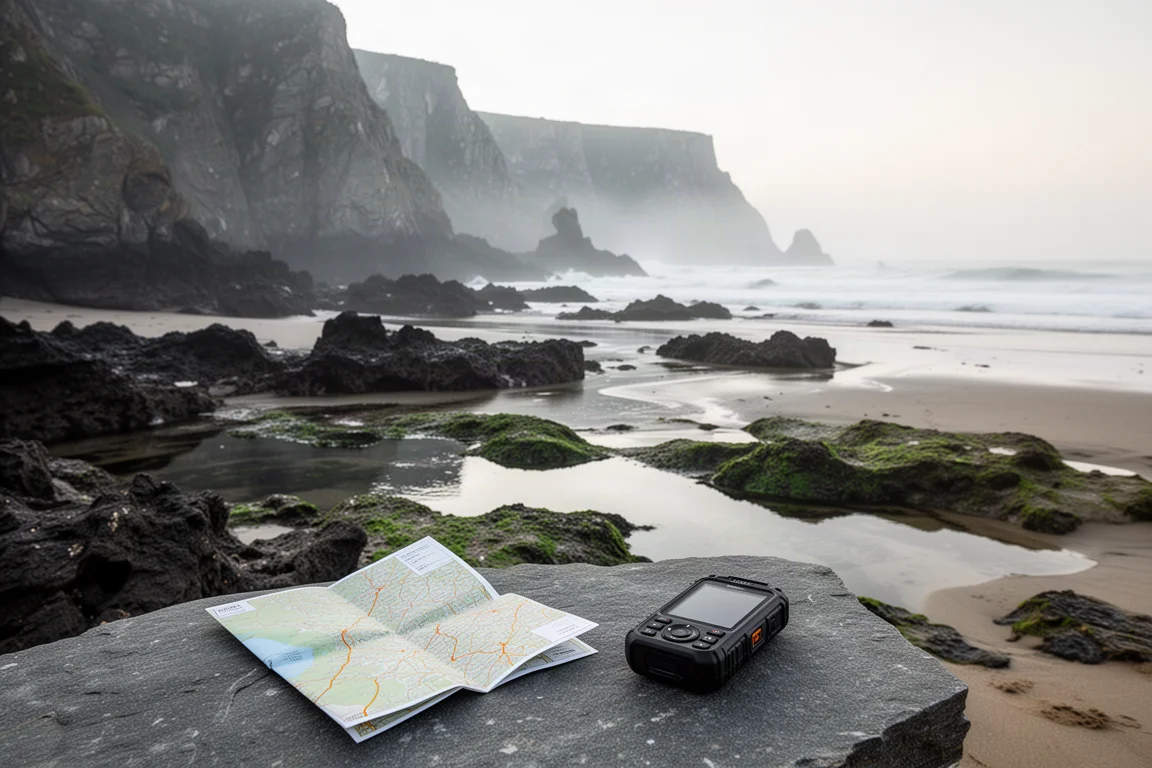
Natural Atlas is most useful to hikers working in terrain where the straight-line figure is genuinely misleading. Coastal routes are the clearest example. Where cliffs protrude hundreds of feet out of the water, the trail is forced inland, and finding the point where it turns away from the beach is not always obvious even if you have walked the area before. Knowing that the turn is still ahead, rather than already behind you, changes how you plan the day.
It also suits hikers who move through areas with access restrictions tied to conditions on the ground. On some coastal stretches, sections are only passable at low tide, which makes tide timing part of route planning rather than an afterthought.
If you hike mostly on well-marked inland trails with reliable signage and no tidal constraints, the trail-measurement feature will feel less essential, though the offline maps and local detail still have value.
Trail-Based Distance Measurement
The core idea is simple and practical. Using the measure tool, you drop a point at your current location and a second point at your destination, and the app returns the distance along actual trails rather than the distance in a straight line. In the field, that is the difference between a rough guess and a workable plan.
The comparison the app invites is with road-based mapping services. Those apps do not tell you how to reach a destination in a straight line, they route you along real roads. Natural Atlas applies the same logic to trails, giving the shortest route to a destination along paths that exist rather than a line drawn across the terrain.

Distance is also readable directly from the map as you browse, with miles marked on the map itself, so you can build a rough sense of a route before you start measuring anything.
Offline Maps and Tide Predictions
Offline use is handled by downloading the area you need in advance, which keeps the map available without cell service. A separate edit option lets you layer in local information alongside the base map, including plants and geology points of interest, public lands, and satellite imagery.
For coastal hiking, the most consequential layer is tide prediction. You can check tide information for a specific location by selecting it on the map and pulling up the local tide data, including the time of the next low tide. Because the download is stored on the phone, that information stays accessible without a signal.
The measure tool works with those restrictions. You can measure from your current position to a tidal restriction point and see how far you have to go, then compare that against the timing of the low tide window. That combination turns a vague sense of urgency into a decision you can actually make on the trail.
Paper Map Character and Custom Printing
Battery life is the honest weakness of any phone-based navigation, and Natural Atlas does not pretend otherwise. The app has the look and feel of a paper map, with miles clearly marked as you browse, which makes it comfortable to read in the same way many hikers already read topographic sheets.
It goes further than appearance. You can print custom paper maps directly from the app. Rather than buying a large sheet that tries to cover an entire region at a scale too coarse to be useful, you choose how large or small an area to include, pick the paper size you want to print on, zoom to the level of detail you need, and export the map for printing.
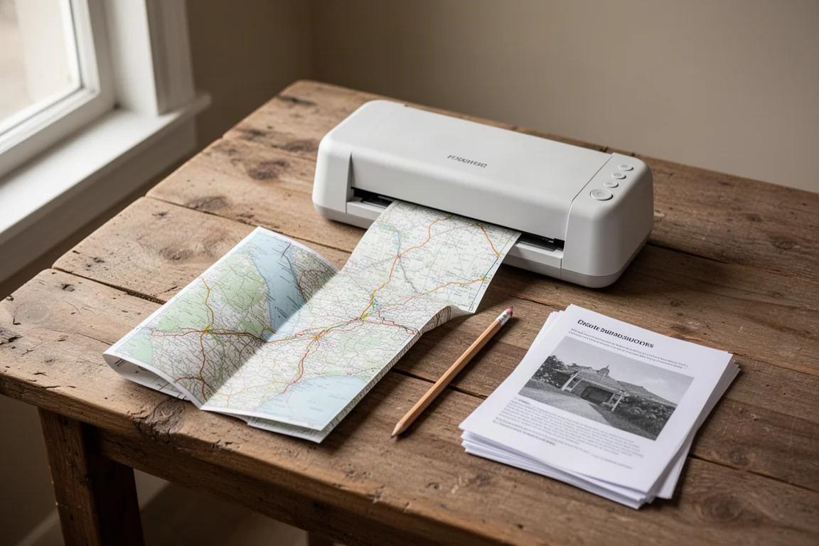
Printing at home also opens the option of waterproofing the output, for example by running prints through a small laminator, so the backup map survives weather and handling. The result is a paper map that reflects the exact area you are hiking, at the detail level you chose, rather than whatever scale a store-bought sheet happened to use.
Things to Consider Before Buying
The trail measurement tools, offline map downloads, tide predictions, and the wider feature set sit behind an annual subscription of forty dollars per year. A discount brings that down to thirty dollars per year, which is a low cost of entry for this kind of navigation app, but it is still a recurring cost rather than a one-time purchase.
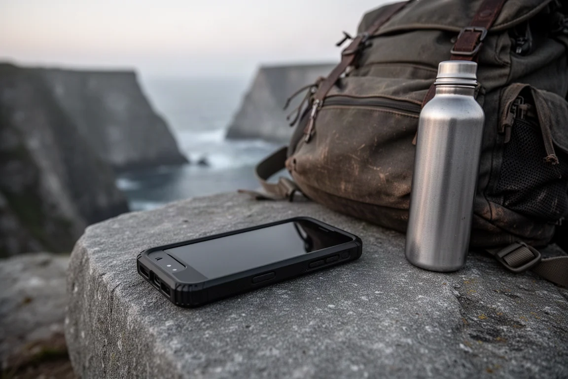
The second consideration is redundancy. Any GPS app depends on a charged battery, and batteries fail in cold, wet, or long days out. Carrying a paper map alongside the app is not optional caution, it is basic preparation, and the app’s printing feature makes that easy to do.
It is also worth being honest about terrain. If your hiking does not involve tidal timing, cliff-forced detours, or route-finding where trail distance matters, the subscription will deliver less day-to-day value.
Buying Advice
For hikers who regularly plan coastal or tide-affected routes, the value proposition is straightforward. Trail-accurate distance and offline tide data address problems that a straight-line measurement simply cannot, and the ability to print a custom map at the scale you want makes the paper backup genuinely usable rather than a formality. At thirty dollars a year after the discount, the cost is modest against the planning time it can save.
If your hiking is mostly on established inland trails, consider whether you need the measurement and tide features specifically, since those are the parts that separate this app from a general-purpose mapping tool. Either way, pair it with a printed map, keep the phone charged, and treat the app as the planning layer rather than the only thing in your pack.
Conclusion
Natural Atlas solves a real and long-standing annoyance: knowing how far you actually have to walk, not how far you are from your destination in a straight line. Combined with offline downloads, tide predictions, local map detail, and printable paper maps, it covers the parts of trip planning that matter most in demanding terrain. It asks for an annual subscription and a charged battery in return, and for hikers who plan around tides and trail conditions, that trade is easy to justify.
Product link
View more details for Natural Atlas
This product is mentioned in the review. Check the specifications, options, and compatibility before buying.
View more details for Natural AtlasFurther reading
Related Reviews
Backpacking Gear
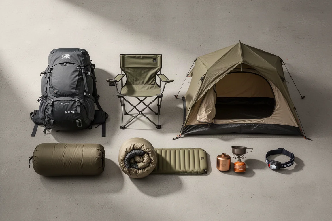
Backpacking Gear List 2026: A Comfort-Focused Three-Season Kit
A comfort-focused three-season backpacking gear list covering the pack, shelter, sleep system, water treatment, cook kit and layering, with notes on what each piece is good for.
Backpacking Gear
Best Backpacking Gear 2026: 18 Ultralight Favorites for Three-Season Trips
A field-tested roundup of lightweight backpacking gear, from frameless packs and Dyneema shelters to quilts, cook kits and camp comfort.
Backpacking Gear
Best Backpacking Gear Picks: Field-Tested Award Winners for Three-Season Trips
A field-tested roundup of backpacking award picks, from packs and shelters to stoves, filters and trail electronics, with clear guidance on who each one suits.