Outdoor Navigation
Best Satellite Communicators and Outdoor GPS Devices 2026
A practical guide to handheld GPS units, satellite messengers, beacons and outdoor watches, with the real strengths and trade-offs of each option.
Introduction
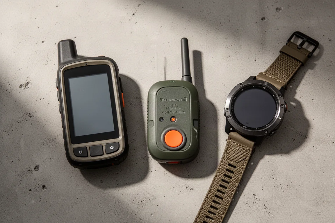
Satellite communicators and handheld GPS devices solve different parts of the same problem: staying oriented and staying reachable once the phone signal disappears. Some units are built for mapping, some for two-way messaging, and some exist purely to send an emergency signal. The right choice comes down to how far you go, how much weight you are willing to carry, and whether you want to pay for an ongoing subscription.
This guide covers the devices worth knowing about right now, from full-featured handhelds to wrist-worn navigation and simple beacons, along with the trade-offs each one brings.
Garmin GPSMAP 67 Series: Rugged Handheld Mapping
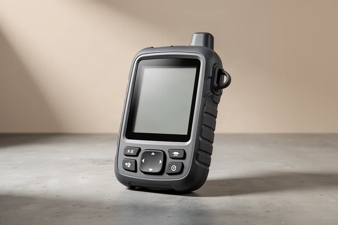
The GPSMAP 67 Series is a dedicated outdoor handheld that puts mapping first. Its positioning system uses multi-GNSS and multiband reception, and it typically holds accuracy within about six feet while keeping a reliable track through challenging terrain such as slot canyons.
The hardware is built to survive the outdoors. It is rugged, waterproof and drop resistant, and it can be operated in rain or with gloves on. Garmin TopoActive maps come preloaded with elevation data, points of interest and trails, so the workflow out of the box is simple: charge the unit, enter a destination, and follow the guidance.

The screen is large enough to read at a glance, showing the planned route ahead, the track behind, topographic detail and satellite imagery in one place. Having that many map layers in a single device is what makes it genuinely useful rather than just a backup.
The trade-offs are straightforward. This is one of the more expensive handheld options, and it is larger and heavier than many competitors. The upside of that size is the bigger display, which most users notice immediately in the field.
Garmin GPSMAP 67i: Handheld Navigation With Satellite Messaging
The GPSMAP 67i takes everything above and adds satellite communication. It pairs full handheld navigation with messaging, weather information and an SOS function, and it carries one of the higher transmit powers among satellite messaging models, which helps in demanding outdoor conditions.
Battery life is a real strength. Expect roughly six and a half days of use depending on settings and activity, a clear improvement over the previous generation. As with the standard model, the main drawbacks are cost and physical bulk.
Garmin inReach Mini 2: Lightweight Emergency Messaging
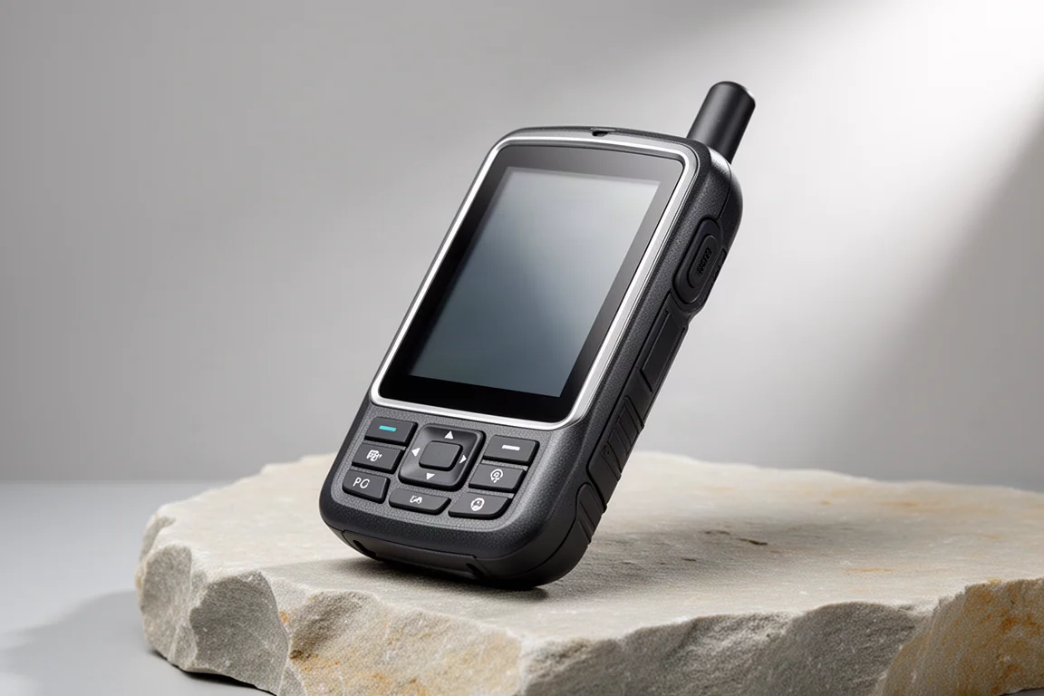
If mapping is already covered and the goal is a satellite communicator only, the inReach Mini 2 is a strong candidate. It is lightweight, rugged and built for outdoor use, and its button layout keeps it easy to operate when conditions are poor.
It supports messaging, location tracking and weather reports, and unlike some devices in this class it can handle two-way messaging without being paired to a phone. Basic navigation is included as well, and the track back function is the standout: drift 30 to 50 feet off course and it issues audible and visual alerts, then points the way back to the trail.
Garmin inReach Messenger: Wallet-Sized Two-Way Communication
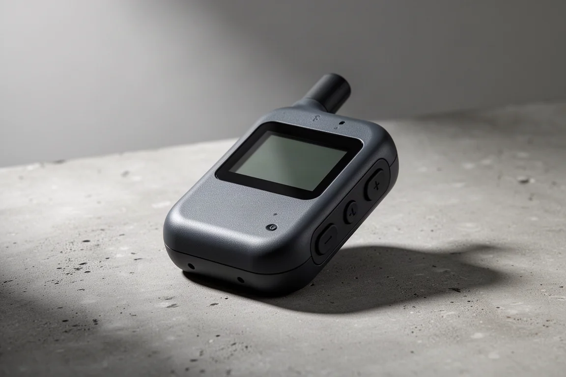
The inReach Messenger is the smallest option here, roughly the size of a wallet, and it pairs that compact body with strong battery life. It can be used on its own screen, though that is less comfortable than the Mini 2, so pairing it with a phone is the better experience.
Its most useful trick is automatic network switching. The device moves between Wi-Fi, cellular and satellite service without any input from the user. Navigation features are limited but present, including track back, which suits off-road and ATV use.
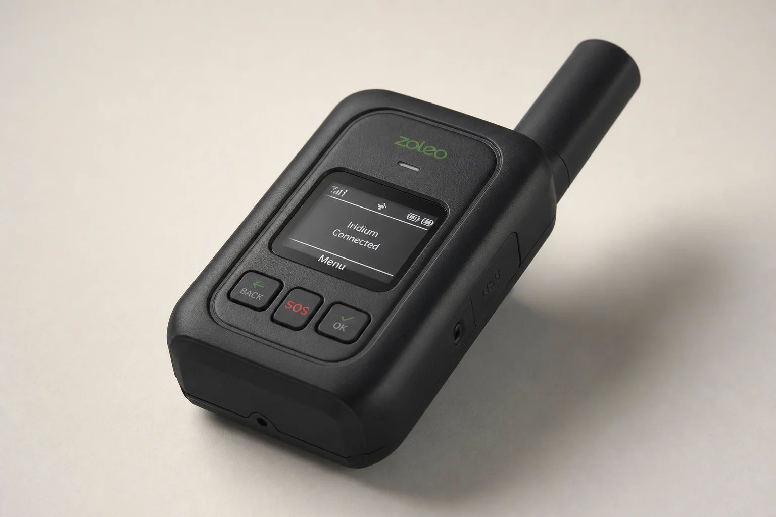
Garmin Montana 750i: The Camera-Equipped Communicator
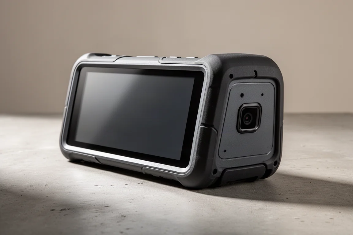
The Montana 750i stands out for its camera. Photos taken on the device can be geotagged and saved as waypoints, so a good fishing spot becomes a navigable destination you can return to, with the image as a visual record of exactly where it is.
Its large touchscreen is the other reason to consider it. Mounted in a truck or on an ATV, the display is noticeably easier to read than the smaller screen on the 67i.
That screen size and the vehicle-friendly mounting make it a natural fit for people who navigate from a machine as often as they do on foot, and the photo waypoint workflow adds a level of recall that a plain pin cannot match.
Apple iPhone 14 and 15: Capable for Fair-Weather Hiking
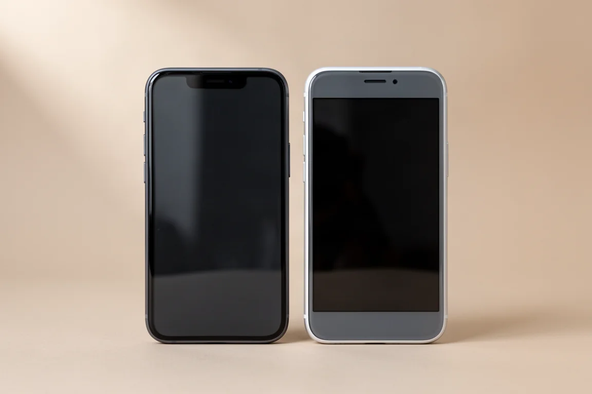
A modern iPhone is not a dedicated outdoor device, but for most fair-weather hikers it covers the basics well. The touchscreen works reliably, and panning and zooming redraw far more quickly than on any of the handheld GPS units here.
App support is the real advantage. AllTrails, Gaia GPS and onX are all available, and the iPhone 14 and 15 add emergency SOS over satellite plus location sharing at no extra cost. The limitations are worth taking seriously: there is no non-emergency satellite messaging, the phone is not as rugged or durable as a purpose-built handheld, and using it in the rain is not advisable. Carrying a paper map as a backup is the sensible move.
Motorola Defy Satellite Link: Affordable Non-Emergency Texting
The Defy Satellite Link addresses the iPhone’s biggest gap. Paired with a phone, it enables non-emergency text messages over satellite, and the basic plan costs around $5 per month in the United States.
Used together with an iPhone, the combination delivers two satellite communicators and two SOS systems, which is a meaningful redundancy for the money. The accessory depends on a paired phone and a separate subscription, so it is an add-on rather than a standalone solution.
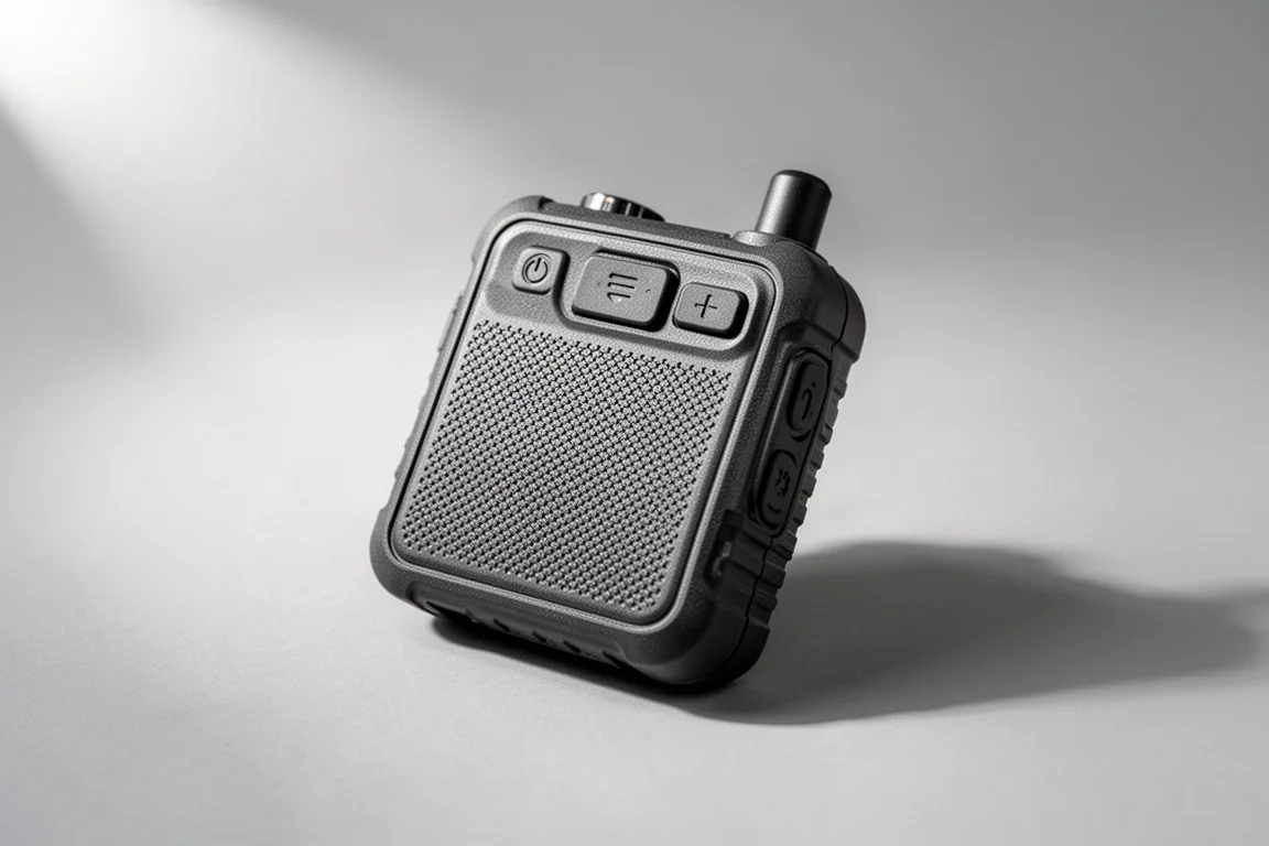
PLB1: Emergency Beacon Without a Subscription
For anyone who wants emergency signalling without an ongoing cost, a Personal Locator Beacon is the simplest answer. The PLB1 requires no subscription at all.
The trade-off is capability. It is a one-way device: press the SOS button and a signal goes out over satellite, telling emergency services your GPS position and that you need assistance. There is no messaging, no reply and no navigation, which makes it a pure safety net rather than a communication tool.
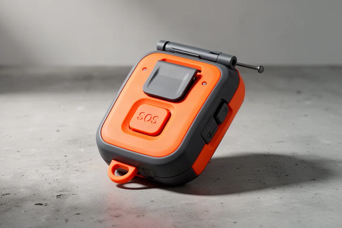
Garmin epix Pro 51 mm: Full Mapping on the Wrist
There is still no satellite communicator in watch form, but watches have closed much of the navigation gap. The epix Pro 51 mm delivers GPS performance that is essentially the same as the handheld GPSMAP 67i in real use.
It provides around 60 hours of activity tracking, which works out to roughly one charge per week for many users. TopoActive maps for the whole continent come preloaded, navigation is integrated into the operating system, and the bright AMOLED display shows map detail clearly. During an activity the map redraws without being noticeable, though panning around the map on the watch does produce visible redraws, and it cannot match the smoothness of an Apple Watch.

The build is rugged and designed for all-weather use, with button control, touchscreen control, or both, and the touchscreen can be locked. The main obstacle is price, which sits at the top of the range.
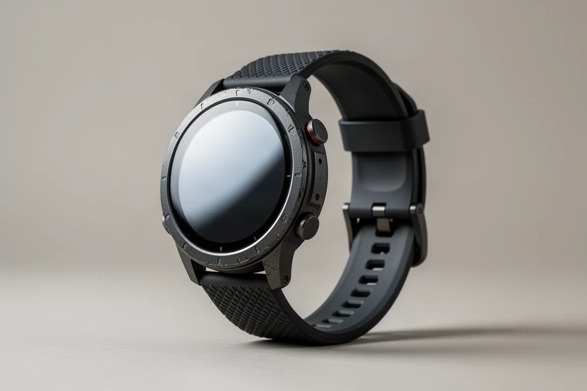
Garmin fenix 7X Sapphire Solar: Long Battery, Solar Recharging
The fenix 7X Sapphire Solar is the endurance option. It runs for about 28 days on a charge and tops itself up when worn in sunlight, which removes most battery anxiety on long trips.
The display is not as brilliant as some other Garmin adventure watches, which is the main compromise. In return you get a touchscreen, the ability to follow a course created for a satellite messaging device, and the option to view that route on the watch, the communicator and the phone at the same time. Despite the large case, it is comfortable enough to leave on.
How to Choose Between Them
Start with what you actually need. If on-device mapping matters most, the GPSMAP 67 Series is the dedicated answer, and the 67i adds messaging, weather and SOS to the same foundation with notably better battery life. If you already carry maps or a phone, the inReach Mini 2 and the wallet-sized inReach Messenger cover communication with less weight, and the Messenger’s automatic switching between Wi-Fi, cellular and satellite makes it the least fussy option.

For vehicle-based trips, the Montana 750i earns its place with a large touchscreen and photo waypoints. Casual fair-weather hikers can stay with an iPhone 14 or 15 and add the Motorola Defy Satellite Link for non-emergency texts, keeping a paper map as backup. If you want emergency cover with no subscription at all, the PLB1 does exactly one job and does it without ongoing cost.
Wrist wearers have two strong paths: the epix Pro 51 mm for the best mapping experience on a watch, or the fenix 7X Sapphire Solar for maximum battery life with solar recharging.
Conclusion
There is no single best device here, only the best match for how you travel. Handhelds win on mapping and screen size, compact communicators win on weight, beacons win on simplicity and cost, and watches now cover navigation well enough for many trips. Match the tool to the terrain and the level of risk you are actually taking on, and the decision becomes much easier.
Further reading
Related Reviews
Outdoor Navigation
Natural Atlas Review: Trail-Accurate Navigation for Hikers
Natural Atlas measures distance along real trails rather than straight lines, and pairs that with offline maps, tide predictions, and printable paper maps.
Outdoor Navigation
Caltopo vs AllTrails Plus: Which Outdoor Planning Tool Fits Your Hike?
A practical comparison of two outdoor planning tools: Caltopo for detailed trip planning and terrain data, and AllTrails Plus for simple trail discovery and navigation.
Outdoor Navigation
Garmin Trails Review: Is the Paid Trail Library Worth It?
Garmin Trails adds a paid trail browser to Garmin Connect and Garmin Explore. Here is what works, what is missing, and when the free route is the better buy.