Outdoor Navigation
Caltopo vs AllTrails Plus: Which Outdoor Planning Tool Fits Your Hike?
A practical comparison of two outdoor planning tools: Caltopo for detailed trip planning and terrain data, and AllTrails Plus for simple trail discovery and navigation.
Introduction
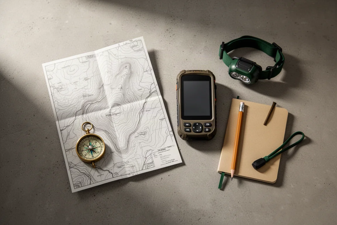
Caltopo and AllTrails Plus sit at opposite ends of the outdoor planning spectrum. Caltopo is the more powerful of the two, a layer-driven mapping platform that can feel intimidating the first time you open it. AllTrails Plus takes the opposite approach: it points you toward a good hike, hands you the route, shows you what other hikers say about it, and helps you navigate once you are out there.
Both are worth considering, but they suit different kinds of trips. This guide breaks down what each one does well, and where each one stops.
Neither tool replaces judgment on the trail. What they change is how much you know before you leave the car, and how quickly you can answer questions like where the trail actually goes, how steep the climb is, and whether you will have phone signal.
How These Two Tools Differ
Caltopo is built around map layers and map objects. Layers control what you are looking at: trails, satellite imagery, slope angle, fire history, cell coverage. Objects are the things you create: waypoints, routes, and recorded tracks. That structure is what makes it capable, and also what makes the first session feel busy.
AllTrails Plus is built around trail discovery. It surfaces a hike, provides the route, collects what other people say about it, and then helps you follow it. There is far less to configure, which is exactly the point for hikers who do not want to build a map from scratch.
Caltopo: Planning Layers for Terrain and Conditions
Caltopo’s map page is deliberately simple in layout: the map sits in the center, layers run down the right side, and objects sit on the left. Layers tell you what you are looking at. Objects are what you put on the map yourself.
A good starting point is the Map Builder topographic layer, which carries a lot of trail detail. From there you can stack other layers on top. Satellite imagery can be laid over the trails to check whether a path is really on the ground where tree cover is thin. Scanned topographic maps, or the cleaner Forest Service topographic versions, add names for valleys, peaks, and other features. A shaded relief slider brings the landscape out beyond the contour lines, which helps when you are trying to picture a ridge or a basin.
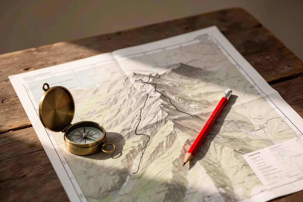
Conditions layers are where Caltopo earns its reputation. Slope angle shading tints steeper ground in darker purple, which flags both potential avalanche terrain and trails that climb hard. Sun exposure gives a sense of how exposed a hike will be. Fire history shows where past burns were, so you know whether you will be walking through a burn area, while fire activity uses recent satellite heat detections to show where an active fire is moving relative to your route. A cell coverage layer helps you judge whether you will need a satellite communicator. Sentinel weekly satellite imagery is useful for checking whether snow is still sitting on a trail, and weather stations can be clicked for current conditions at that location.
Logistics layers round things out. A Map Builder overlay shows roads and how you reach the trailhead, public lands helps you confirm you are not routing through private property, and historic maps are handy when you are hunting for an old mine or an old structure. Map sheets act as mini maps layered on top of the current view. Fire closure documents, which usually arrive as PDFs from the Forest Service, can be uploaded and overlaid with a Pro account.
Caltopo: Routes, Waypoints, and Live Tracking
On the object side, markers and lines cover most needs. A marker is a waypoint: give it a name, pick a color and symbol, add a description, and drop it into a folder. A Pro account also lets you attach a photograph to a waypoint, so you can see what a junction or a water source actually looks like when you arrive.
Lines work as tracks or routes. Caltopo offers snap-to routing, which draws your line along existing paths. The snap source can be changed or turned off entirely, and the OpenStreetMap option generally handles most planning. Lines can be named, restyled, and given a description or photo, just like waypoints.
When the plan is ready, export is straightforward. A GPX file can be imported into the watch or handheld app you navigate with, and everything you saved travels with it. The same view can be printed to PDF or used to order a paper map. With a Pro account you can also generate a custom map layer for a handheld device. Pro and mobile accounts allow syncing to a phone and downloading offline maps while you still have a connection.
In the field, Caltopo works, though the navigation interface has quirks and does not always behave as expected. Tapping a route starts navigation with an arrow pointing the way, and the same applies to waypoints. Because waypoints can hold a photo, arriving at a saved point lets you compare what you see against what you planned. You can also drop new waypoints and attach a photo to document the trail as you go. A small cloud button forces offline mode so the app uses only downloaded content, which is a sensible habit when signal comes and goes.
Recording a track is the other core field feature. If you have saved the map and shared the link, anyone with that link can follow your progress live on the map as you record, and this works over a satellite connection. Map tiles can also be downloaded over that satellite connection when you need another layer mid-trip.

AllTrails Plus: Simple Trail Discovery for Everyday Hikes
AllTrails Plus is aimed at a different job. Rather than building a map from layers, it tells you about a good hike to do, gives you the route, and shows you what other people are saying about it. Navigation is part of the package, so the whole loop from choosing a trail to following it stays in one place.

That simplicity is the appeal. There is no layer stack to configure and no need to think about snap-to routing or file exports. For a hiker who wants a solid route and a sense of what to expect, that is often all that is required.
Free Accounts, Paid Tiers, and What You Actually Need
Most of Caltopo’s planning features are available on a free account, including the core topographic and satellite layers and the waypoint and route tools. Some premium layers and a few capabilities, such as 3D maps and uploading your own PDF map sheets, sit behind a paid account. The sensible path is to start free, work through a few real trips, and upgrade only if you keep running into the limits. For someone who plans regularly, the paid tier covers a lot of ground.
AllTrails Plus is the simpler purchase. It makes sense when you want trail suggestions and navigation without the overhead of a full mapping platform.
Which Tool Fits Your Hiking Style?
Choose Caltopo if your trips involve route finding, terrain decisions, or conditions you want to understand before you commit. It rewards the time you put into it: slope angle, fire history, snow checks, cell coverage, offline maps, and live track sharing over satellite are all available in one place, and the GPX export moves your plan onto whatever device you carry.
Choose AllTrails Plus if you would rather be pointed toward a good hike and get moving. It gives you the route, the feedback of other hikers, and navigation support without asking you to learn a mapping system first.
Conclusion
Caltopo and AllTrails Plus are both reasonable buys, and the deciding factor is how much planning you actually want to do. Caltopo is the stronger choice for complex routes and for anyone who wants terrain and conditions data in the same view as the trail. AllTrails Plus is the better fit for straightforward hikes where a recommendation, a route, and navigation are enough.
Further reading
Related Reviews
Outdoor Navigation
Natural Atlas Review: Trail-Accurate Navigation for Hikers
Natural Atlas measures distance along real trails rather than straight lines, and pairs that with offline maps, tide predictions, and printable paper maps.
Outdoor Navigation
Best Satellite Communicators and Outdoor GPS Devices 2026
A practical guide to handheld GPS units, satellite messengers, beacons and outdoor watches, with the real strengths and trade-offs of each option.
Outdoor Navigation
Garmin Trails Review: Is the Paid Trail Library Worth It?
Garmin Trails adds a paid trail browser to Garmin Connect and Garmin Explore. Here is what works, what is missing, and when the free route is the better buy.