Outdoor Navigation
Natural Atlas Review: Trail-Accurate Navigation for Hikers
Natural Atlas measures real trail miles instead of straight-line distance, works offline, and prints custom paper maps. Here is what it does well and what to weigh before subscribing.
Introduction
Hiking navigation has improved enormously over the past two decades. Knowing exactly where you are, and how far you are from a landmark, no longer requires map reading under pressure or careful arithmetic on a windy ridge. But one limitation has persisted across almost every GPS tool: distance is usually reported as the crow flies. On a straight road that is close enough. On a coastal trail that weaves inland around cliffs and then returns to the sand, a straight-line figure can be off by miles, which makes it a poor basis for planning lunch stops, daylight windows, or tide-dependent sections.
Natural Atlas approaches the problem differently. It measures distance along actual trails, the way a road navigation app measures distance along actual roads. The result is a number you can plan around rather than a rough guess you have to correct in your head.

That single design decision shapes much of what the app does well, from the behaviour of its measure tool to the way its maps are drawn to be read like a paper topographic sheet.
Who This Product Is For
Natural Atlas suits hikers who plan routes rather than simply follow them. It is most useful on trails with genuine logistics: coastal routes governed by tide restrictions, terrain that forces long inland detours, or full days where knowing the true remaining distance changes decisions about pace and turnaround times.
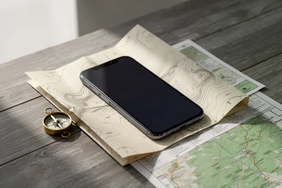
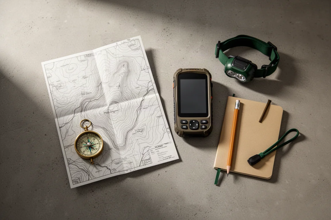
It also fits hikers who already carry a paper map and want digital tools that complement it rather than replace it. The app is built to work offline, and it can output printed maps, so it functions as one part of a paper-and-digital system instead of a single point of failure.
It is a weaker fit for someone who only walks short, well-marked loops with dependable cell coverage. In that case a basic mapping app is likely to be enough, and the subscription will feel like overhead rather than value.
Main Strengths
Trail-Accurate Distance Measurement
The measure tool drops a point at your current position and a second point at your destination, then returns the shortest route along real trails rather than a straight line across the map. On a coastline where a cliff blocks the direct path, that distinction is the entire point of the feature.

The same logic applies while browsing. Trail miles are marked directly on the map, so distances can be read at a glance without running a fresh measurement for every segment. For anyone who has spent years subtracting crow-flies estimates from a route card, this is a quiet but meaningful upgrade.
Offline Maps, Local Detail, and Tide Predictions
Map areas can be downloaded for offline use, which matters on stretches of coast with no cell service. An edit option during the download process lets you add extra layers, including plants and geology, points of interest, public lands, satellite imagery, and tide predictions.
Tide predictions are the layer that earns its place on coastal hikes. Where a section is passable only below a certain tide height, local tide information and the timing of low tide can be checked without a signal. The measure tool can then be used to work out how far you are from that restriction, so you know whether there is time to reach it before the water returns.
A Map That Feels Like Paper
Natural Atlas is designed to read like a paper map. Miles are clearly marked, and the overall presentation keeps the density and character that many hikers find easier to interpret than a stripped-back digital view. Custom paper maps can be printed from the app: choose the area you want, select a paper size, zoom to the level of detail you need, and export the result for printing. Laminating a print makes it usable in wet conditions, which turns a phone-based tool into a durable backup that survives a dead battery.
Things to Consider Before Buying
The features that make Natural Atlas useful are not free. Trail measurements, offline map downloads, tide predictions, and a range of other functions sit behind a subscription.
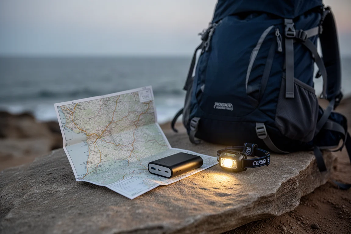
Battery life is the other practical consideration. Any GPS-based tool draws heavily on a phone, so the app works best alongside a paper map rather than as a replacement for one. Downloading maps in advance removes the need for a signal, but it does not remove the need for a charged battery or a printed backup.
Hikers who expect a fully free navigation app may find the subscription barrier frustrating. Those who hike regularly on complex terrain are more likely to treat it as a reasonable annual cost.
Pricing and Subscription
The premium feature set is sold as a yearly subscription. The standard rate is around $40 per year, and promotional discounts have brought it closer to $30 per year for a full year of service. That is a modest outlay for trail-accurate measurement, offline maps, local detail layers, and tide data, especially compared with the cost of a dedicated handheld GPS device. Because the value depends on how often you hike terrain where true trail distance matters, it is worth being honest about your own habits before subscribing.
Buying Advice
Choose Natural Atlas if your hikes involve route planning where accurate trail distance changes the day: coastal sections governed by tides, terrain that pushes you inland, or long outings where a reliable remaining-distance figure affects how you pace yourself.

It is also a strong match if you like paper maps and want a digital tool that respects that approach, including the ability to print and laminate your own custom sheets. If you mostly walk short, clearly marked trails with dependable coverage, the free basics of a standard mapping app will probably cover your needs and the subscription will feel unnecessary.
Conclusion
Natural Atlas addresses a specific and long-standing annoyance: distance that reflects the trail you are actually walking rather than a straight line drawn across the landscape. Combined with offline downloads, local detail layers, tide predictions, and printable maps, it is a well-rounded tool for hikers who plan carefully and want their navigation to match the terrain in front of them.
Product link
View more details for Natural Atlas
This product is mentioned in the review. Check the specifications, options, and compatibility before buying.
View more details for Natural AtlasFurther reading
Related Reviews
Outdoor Navigation
Natural Atlas Review: Trail-Accurate Navigation for Hikers
Natural Atlas measures distance along real trails rather than straight lines, and pairs that with offline maps, tide predictions, and printable paper maps.
Outdoor Navigation
Best Satellite Communicators and Outdoor GPS Devices 2026
A practical guide to handheld GPS units, satellite messengers, beacons and outdoor watches, with the real strengths and trade-offs of each option.
Outdoor Navigation
Caltopo vs AllTrails Plus: Which Outdoor Planning Tool Fits Your Hike?
A practical comparison of two outdoor planning tools: Caltopo for detailed trip planning and terrain data, and AllTrails Plus for simple trail discovery and navigation.