Outdoor Tech
iPhone Satellite Messaging vs Garmin inReach: What to Carry Outdoors
A practical look at free iPhone satellite messaging and SOS, where a Garmin inReach still does more, and how to build a dependable outdoor setup.
Introduction
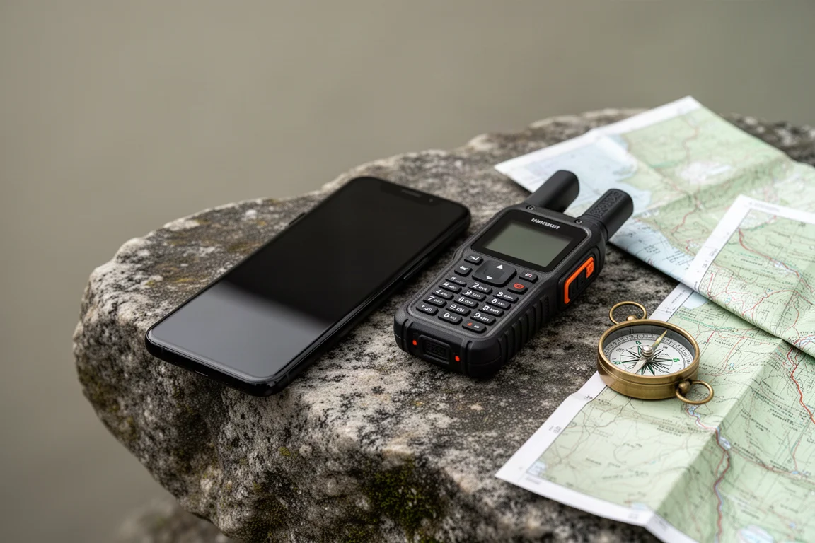
Satellite communication used to mean buying a separate device and paying a monthly plan for it. That changed when Apple brought satellite messaging and satellite SOS to the iPhone, and for now those features cost nothing to use. For anyone who hikes, climbs or travels beyond cell coverage, the obvious question is whether a phone is now enough, or whether a dedicated communicator like a Garmin inReach still earns its place in a pack.
This guide compares the two approaches on coverage, hardware, battery and emergency response, then looks at the specific devices worth considering and the accessories that make an iPhone far more capable outdoors.
How Satellite Messaging Works on the iPhone
The experience is deliberately simple. When you are outside cellular range and try to send a message, a prompt appears asking whether you want to connect to a satellite. You point the phone toward the satellite, wait for the link to establish, and then text as normal. Connecting has proven quick and easy in practice, and replies typically arrive in about 20 to 30 seconds, usually inside a minute.
There is one rule worth knowing before you rely on it. You have to start the conversation first, with a contact on either an iPhone or an Android phone, before that person can reply to you over satellite. The exception is your emergency contacts, friends and family: they can message you unprompted, and if you happen to be connected to a satellite, their message will come through. The catch is that the phone does not stay connected on its own. You connect manually, and you reconnect as you move in and out of coverage.

The bigger limitation is geography. Satellite messaging is available in a limited number of countries today, and satellite SOS is available in more of them. Those lists are growing, but coverage is not worldwide, so outside the supported regions the feature is not officially available.
What you can send is narrower as well. Satellite messaging on the iPhone covers text and emojis, so no photos. Location sharing exists but it is manual rather than automatic, and it is not a breadcrumb trail. You can work around part of that in Find My by setting a notification for a circle and radius, which alerts someone in your family group when you reach that point. Roadside assistance is also available if you break down.
Pointing accuracy is less demanding than it sounds. In testing, a phone left flat on the ground still sent a message without being aimed at a satellite; it simply took a little longer.
Where Garmin inReach Hardware Still Leads
Garmin’s inReach range runs on the Iridium satellite network and offers worldwide coverage. Check-ins have arrived from places as remote as Antarctica, and there is no need to think about which country you are standing in.
The hardware is the other half of the argument. An inReach is a purpose-built outdoor tool: it tolerates water, cold and heat, and every function is available through physical buttons, which means it works with gloves on. Typing a message on those buttons is slower and clunkier than using a phone, but it is entirely possible. Units are commonly kept for around a decade without cracking or failing.
Battery life is measured in days rather than hours. The antenna is a quad helix mounted on top, and as long as it points upward the device is working at its best, with no need to wave it around.
Emergency handling is mature. Garmin Response is a dedicated response centre that manages an emergency call before handing it to local responders, and it has been involved in more than 10,000 backcountry rescues. Search and rescue teams speak well of both systems, so the difference is less about response quality than about coverage and hardware.
The trade-off is cost. An inReach is not free: you choose a monthly plan, receive an allowance of messages, and pay for anything beyond it. Plans were revised recently, so it is worth checking the current structure before committing.
Apple iPhone 14: Capable Satellite SOS in a Familiar Device
An iPhone 14 or later is the entry point for satellite features, and the appeal is that it is a device you already carry, already charge and already know how to use. Satellite messaging and satellite SOS are free for now, which makes the value proposition unusually strong.
The standout capability is automatic escalation. Crash detection has triggered satellite SOS calls after vehicles left the road, where the phone ended up lying in vegetation out of reach. Paired with an Apple Watch, fall detection can attempt a 911 call and fall back to satellite when there is no cellular signal, which matters in a scenario like a collapse on a solo hike.
Routing is handled sensibly. The phone tries to send a text message to a 911 call centre that supports texting. If that is not possible, the request goes to a call centre that calls in the emergency on your behalf. Either way, the device obtains a GPS position and passes it to responders, so they know where the call came from even if two-way texting is not possible.
The honest limitations are ruggedness and battery. An iPhone is built for everyday life rather than for the outdoors, and although recent models have held up well in durability testing, it is not a device designed to be dropped on rock. Battery life is measured in hours: a Pro Max might deliver a day and a half, sometimes two days, depending on use, and satellite messaging is the heaviest drain of all because of the transmission and the satellite link.
Garmin inReach Messenger Plus: Two-Way Messaging With More Detail
The Messenger Plus is the model to look at if messaging quality matters to you. Its messages can carry an embedded location, so the recipient knows exactly where you are, and the newer version can send images, voice notes and longer messages, along with emojis. Weather reports are available too.
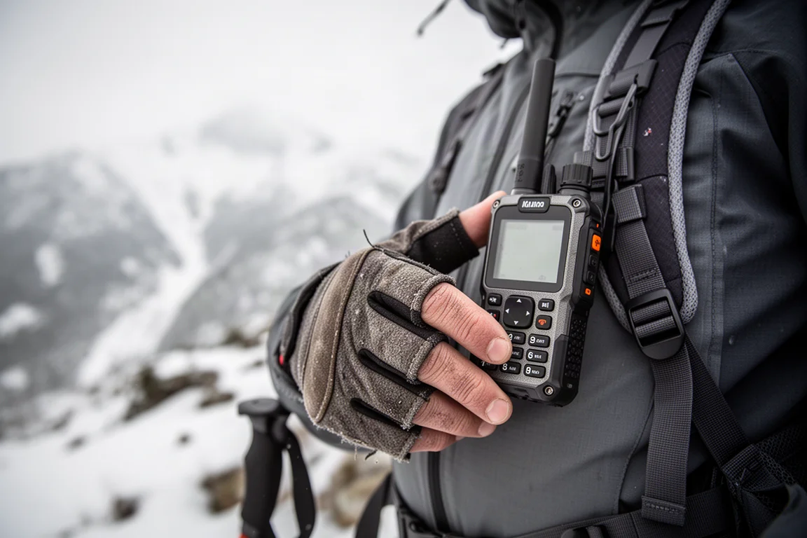
Breadcrumb trail sharing is arguably the most valuable feature of the whole inReach line. If you share the trail page with someone at home and something goes badly wrong, they can follow your route and find you quickly, which is a different order of help from a single fixed position.
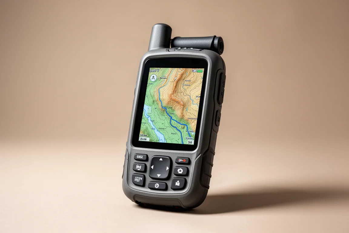
Garmin inReach 67i: Maps, Navigation and a Backup SOS Path
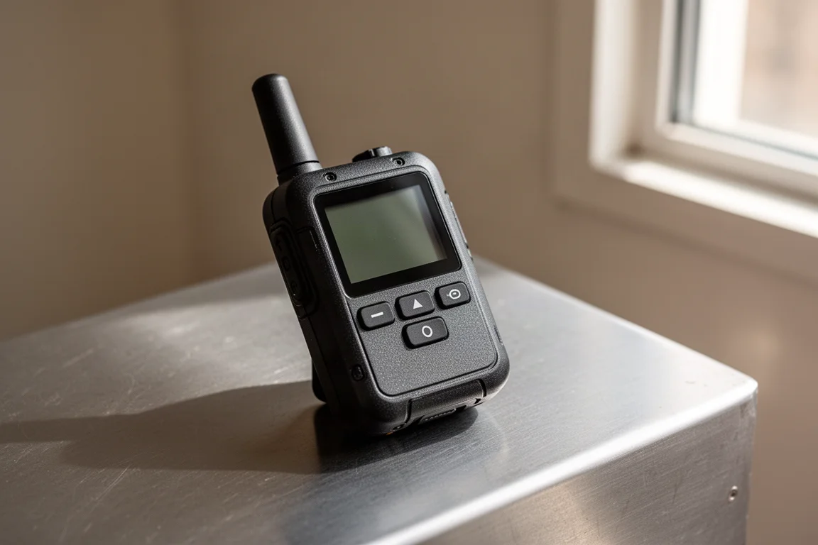
The 67i adds maps and emergency navigation to the inReach formula, which makes it a sensible choice as a dedicated emergency device rather than a primary messenger. It sits at the upper end of the price range, with navigation-equipped units running into several hundred dollars.
It can also be run cheaply if you already message from a phone. Garmin’s cheapest plan, Enabled, is not heavily advertised but covers SOS, with messages and weather reports charged individually as you use them. Breadcrumb tracking on that plan costs around 10 cents per track point every 10 minutes, which works out to roughly 60 cents an hour on a long hike.
OtterBox Defender: Making an iPhone More Outdoor-Ready
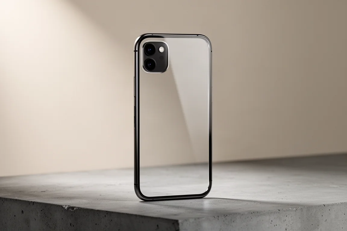
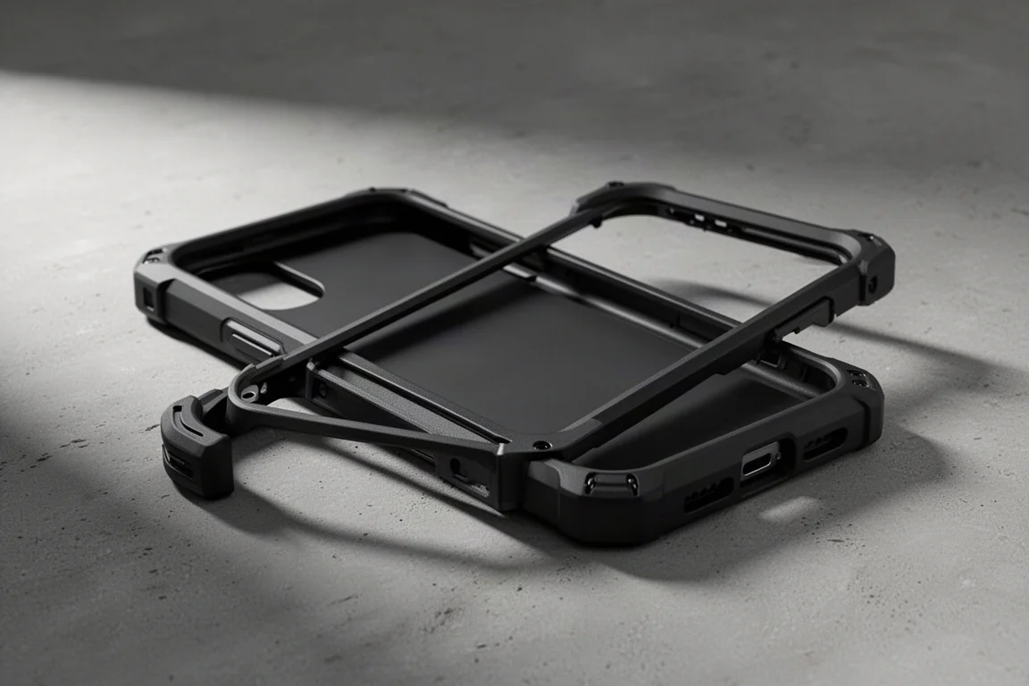
If the iPhone is going to be your satellite communicator, protection is the cheapest upgrade available. A heavy-duty case such as the OtterBox Defender adds a rigid shell and reinforced corners, and it can be fitted only for hikes and trips rather than kept on the phone year round.
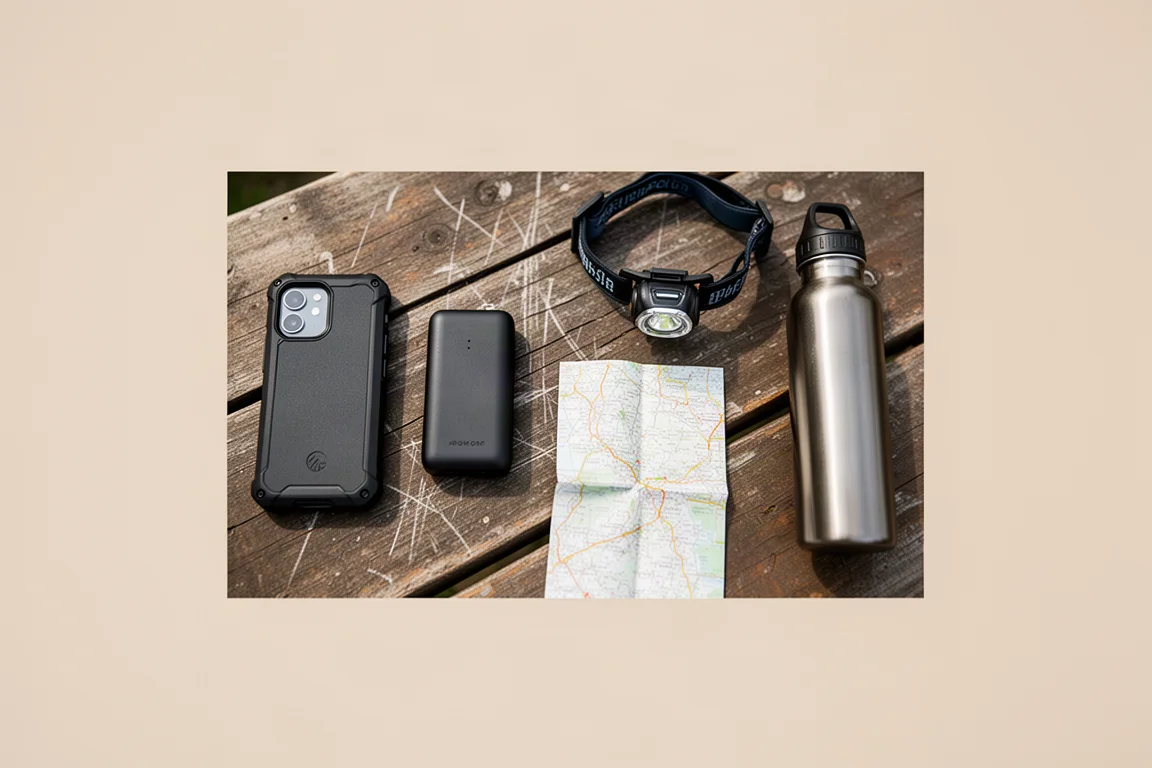
For most casual outdoor use, a protected iPhone with a satellite connection covers the essentials: messaging, SOS and roadside assistance in one device that is already in your pocket.
Battery Life and Backup Options
Battery is where the two approaches diverge most, and it is worth planning for. Both the iPhone and the inReach consume the most power when they are sending and receiving messages over a satellite link, which is exactly what happens during an emergency that stretches over days. The inReach’s multi-day endurance is its advantage here; an iPhone needs help.
A magnetic battery pack that snaps onto the back of the phone is the simplest fix. Kept in reserve for emergencies, it can add substantial capacity without changing how you use the phone day to day. Two iPhones in a group also create useful redundancy, since either can raise the alarm.
For a genuine second layer of safety, a personal locator beacon is worth considering. These have no subscription, are small and light, run on batteries that last for years and work worldwide. They are not two-way communicators: you press one button and an SOS goes out with your location. Combined with an iPhone, that gives a strong level of redundancy at low running cost.
What I Would Carry: A Practical Setup
A sensible setup for most people is to make the iPhone the primary communicator. Keep satellite messaging and SOS on the phone, fit a rugged case for outdoor days, and carry a magnetic battery pack for emergencies. That package is genuinely powerful, and it costs nothing beyond the hardware you already own.
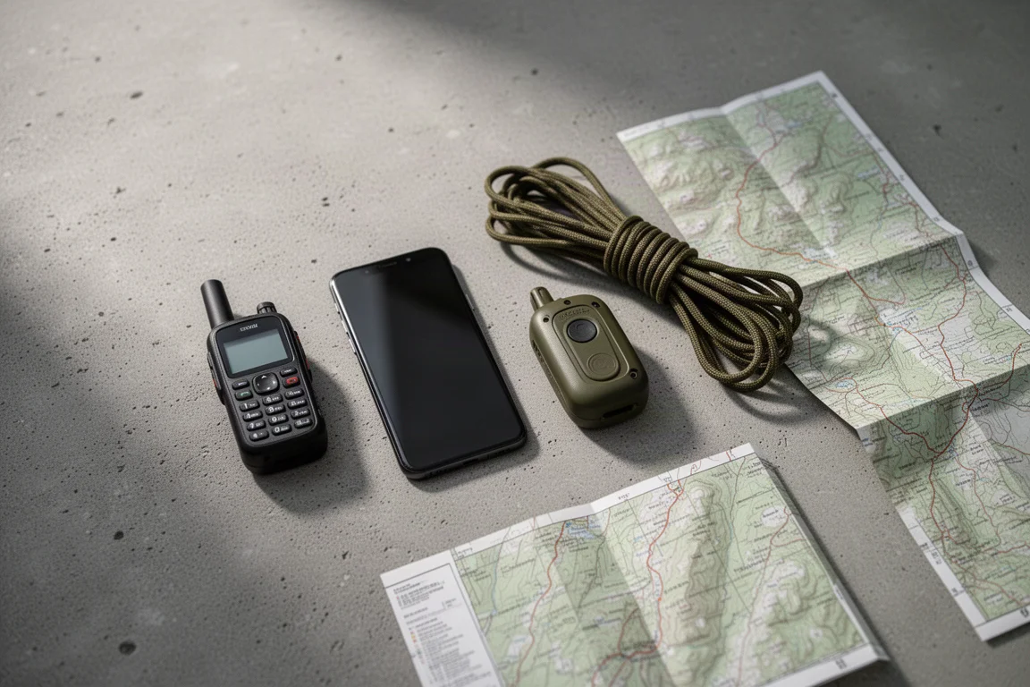
For those who want a dedicated device as well, the practical middle path is a navigation-equipped inReach on the cheapest SOS-focused plan. Use the phone for everyday satellite messaging, keep the inReach for emergencies and for breadcrumb tracking on long hikes, and add a personal locator beacon if you want a third, subscription-free option.
Conclusion
The gap between a phone and a purpose-built communicator has narrowed, but it has not closed. An iPhone 14 or later delivers free satellite messaging and SOS, automatic crash and fall escalation, and the convenience of a device you never leave behind. A Garmin inReach delivers worldwide coverage, hardware that survives the outdoors, multi-day battery life and breadcrumb tracking that can guide rescuers to a moving position.
For casual hikers and everyday outdoor users, a protected iPhone is likely enough. For anyone heading far from coverage, into remote terrain, or into countries where satellite features are not supported, an inReach remains the more dependable tool, and the two work well together.
Further reading
Related Reviews
Outdoor Tech
PeakDo LinkPower Starlink Mini Battery Review: Reliable Off-Grid Power
A TSA-compliant 99Wh battery that clips directly onto the Starlink Mini dish, offering over four hours of run time and USB-C solar charging.
Outdoor Tech
Satellite Messaging Showdown: iPhone 14, Garmin inReach Messenger Plus, and Hiboy P6
Apple's built-in satellite messaging, Garmin's photo and voice capable communicator, and an affordable all-terrain e-bike compared on hardware, coverage, and cost.
Outdoor Tech
Apple Watch vs Garmin: Which Outdoor Watch Should You Buy?
A practical comparison of the Apple Watch Ultra, Apple Watch SE, Garmin Fenix 6, and Garmin Epix for daily wear and outdoor use.