Outdoor Tech
iPhone 14 Satellite SOS vs Garmin inReach Mini 2: Which Emergency Communicator Fits Your Trip
A practical comparison of satellite emergency communication on the iPhone 14 and iPhone 14 Pro against the purpose-built Garmin inReach Mini 2, including coverage limits, plans and real trade-offs.
Introduction
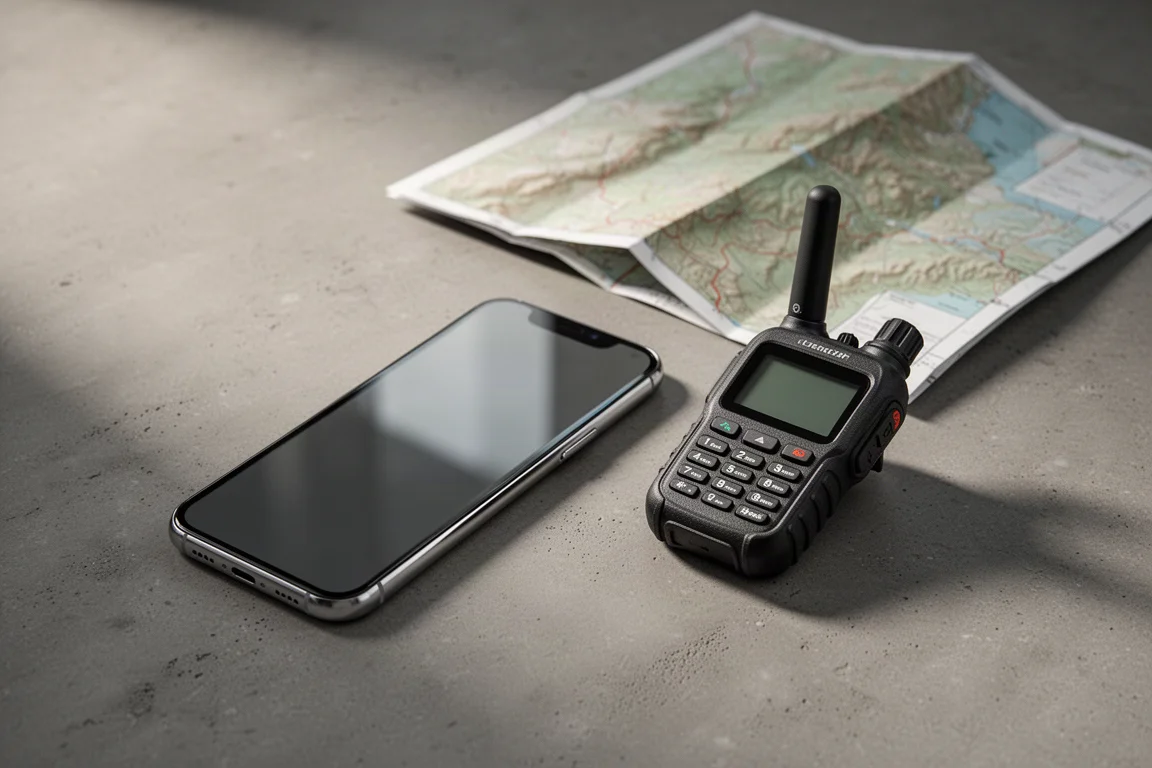
Satellite messaging once meant carrying a second device dedicated to the job. The iPhone 14 and iPhone 14 Pro changed that by adding emergency satellite communication to a phone people already carry, while the Garmin inReach Mini 2 remains the purpose-built option that backcountry travellers have relied on for years. This guide compares what each one actually does when cellular coverage disappears, where coverage ends, what the ongoing costs look like, and which kind of trip each one suits.
How Satellite Emergency SOS Works on the iPhone 14
The iPhone 14 and iPhone 14 Pro can contact satellites directly when there is no cellular coverage. Those satellites sit roughly 876 miles above the surface of the Earth and travel at about 16,000 miles per hour. Apple uses the Globalstar network, which currently has 26 satellites in orbit, backed by an investment of around $450 million in new satellites for the service.
Using it is deliberately simple. You dial your national emergency number and the phone works out how to route the call. If no carrier signal is available, an SOS indicator appears in the upper corner of the screen, which tells you that regular calls and data are unavailable but emergency calling is still possible. In many places carriers also pass emergency calls across networks, so a phone with no signal from its own provider can still reach a call centre.

When a satellite SOS begins, the phone asks a short set of questions. The text is large, the buttons are large, and the flow was developed with emergency call centres so the answers gathered are the ones responders need most. Your Medical ID and emergency contacts from the Apple Health app are included automatically, along with latitude, longitude, elevation and battery level, and the message is compressed so it transmits as quickly as possible. Emergency contacts receive a copy of the exchange and can follow what is happening, but they cannot text you back directly. The message travels up to a satellite, down to a ground station and on to a public safety answering centre, or to Apple’s Emergency Response Center, and from there responders can hold a two-way text conversation with you.
iPhone 14: Satellite Messaging in an Everyday Phone
The iPhone 14 handles satellite SOS without asking you to think about satellite positions. The phone stores orbital data and uses its GPS, gyroscope and motion sensors to work out where it is pointed. If no satellite is overhead it tells you to wait a few minutes. If one is available it shows exactly which direction to aim the phone and displays a progress bar while the message sends, so you can see that something is actually happening.
There is a practice mode in settings that walks through the satellite SOS flow, which makes it easy to learn the steps before you ever need them. You can also start an emergency without the touchscreen: holding the two side buttons for five seconds brings up the emergency contact screen, which matters if the display is cracked or hard to read. Car crash detection and Apple Watch fall detection can also trigger help, and both can hand off to satellite SOS when there is no cellular coverage.
iPhone 14 Pro: The Same Satellite Service
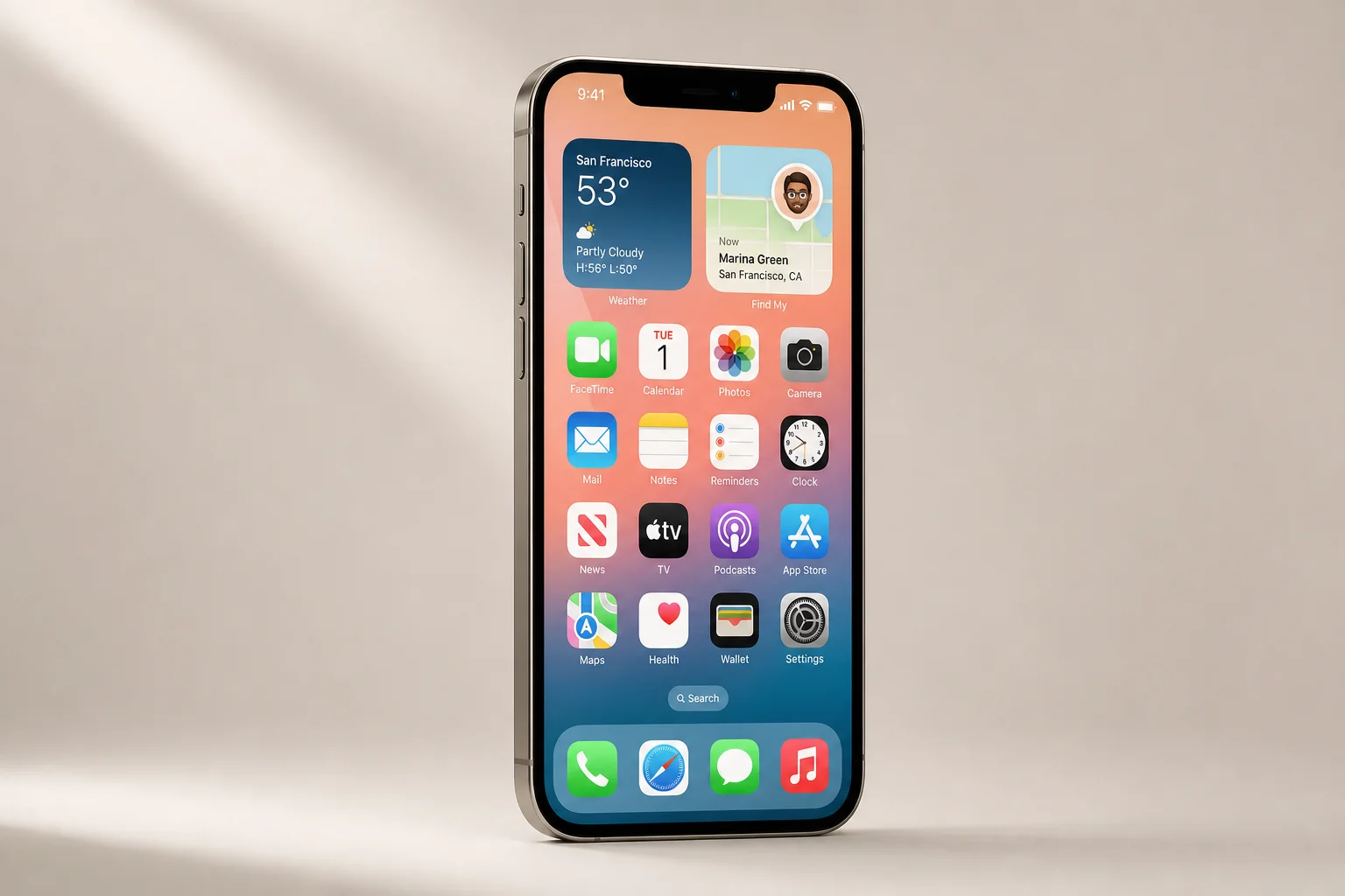
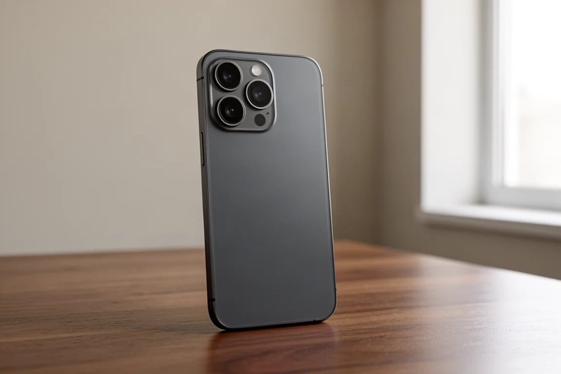
The iPhone 14 Pro carries the same satellite emergency SOS capability as the standard iPhone 14. The service itself is identical: emergency SOS over satellite, location sharing through Find My, crash detection, and the same on-screen guidance for aiming the phone at an available satellite.
For anyone weighing the two models, the satellite question does not separate them. Both give you the same emergency channel, so the decision comes down to the rest of the phone rather than to the satellite service.
Garmin inReach Mini 2: A Purpose-Built Backcountry Device
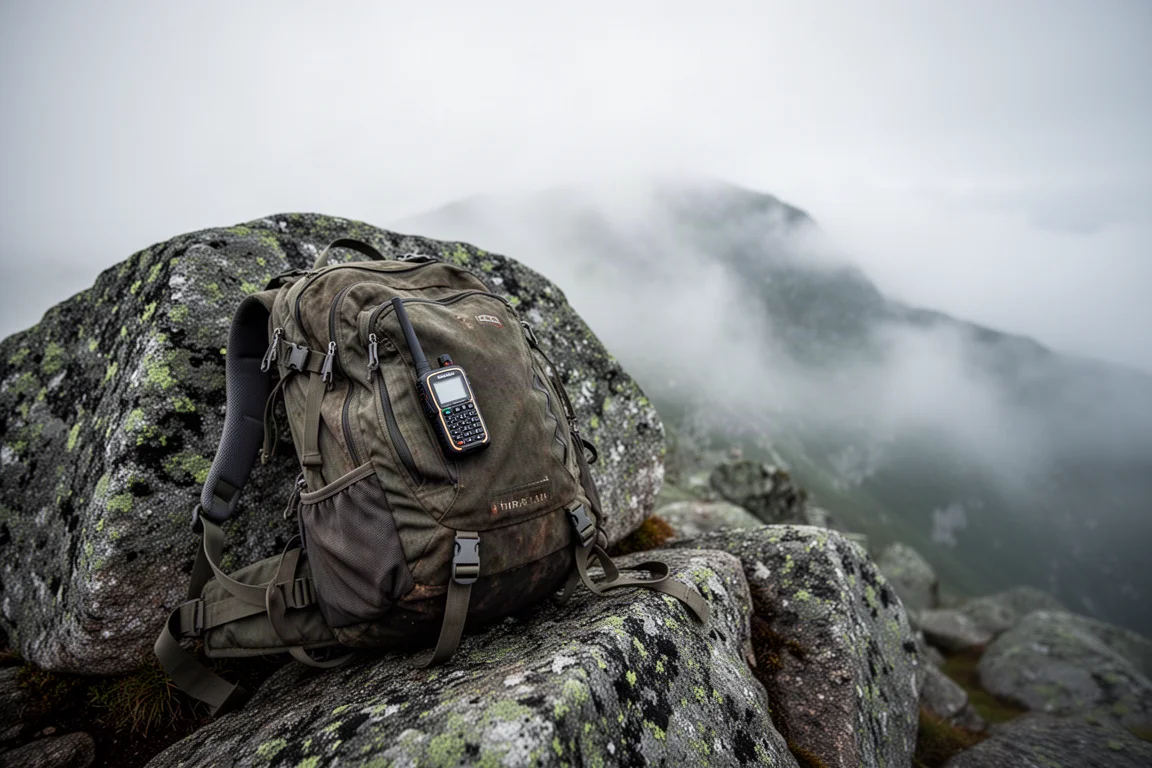
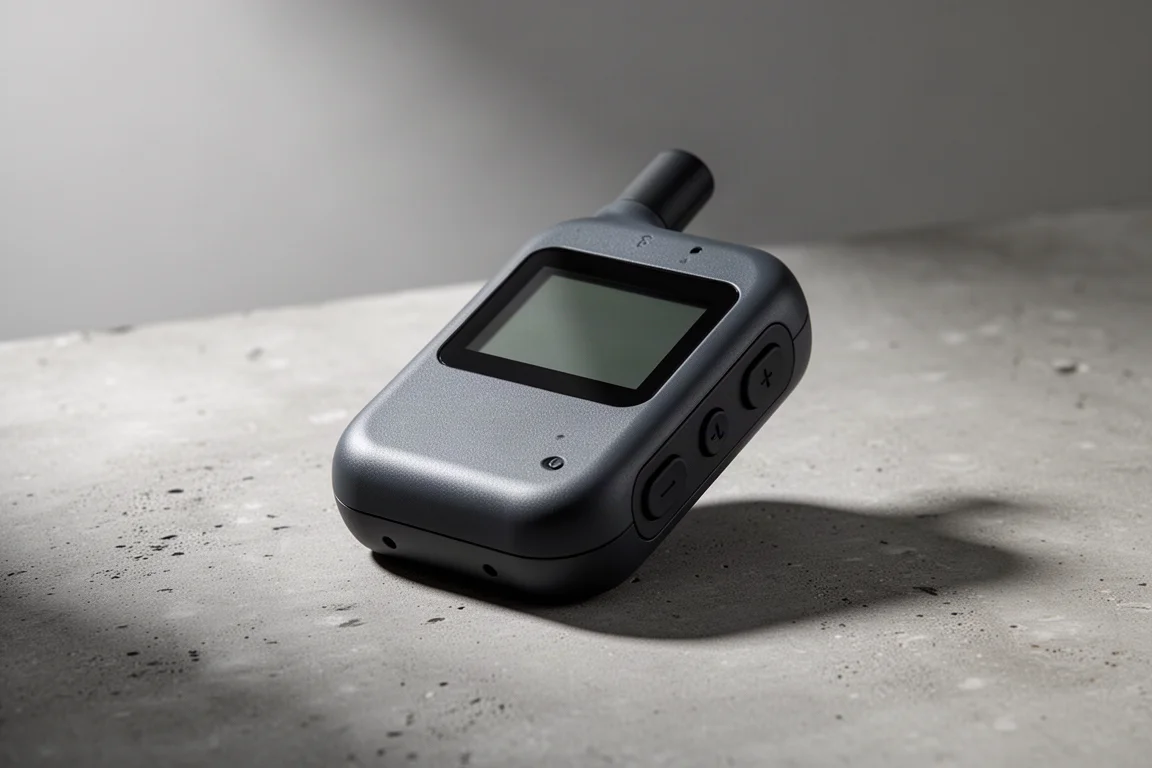
The inReach Mini 2 is built for the outdoors. It is waterproof and dustproof, it survives drops, being sat on and being soaked, and its buttons give tactile feedback so it can be operated with gloves in rain or snow. That contrast matters: a phone is designed for everyday use, while the inReach is designed for satellite communication in difficult conditions.
Battery life follows the same logic. A phone is built to last about a day, while the inReach is built to last a number of days. The inReach uses a quad helix antenna that works as long as the device is pointed up, and it runs on the Iridium network with more than 70 satellites, giving worldwide coverage. Emergency response is handled by the IERCC, an international centre set up to manage backcountry emergencies anywhere in the world, which can coordinate with the relevant land managers such as national parks, forest services and even military jurisdictions.
Beyond emergencies, a plan unlocks two-way non-emergency texting with preset or custom messages, weather reports by text, and automatic location sharing that places your position and a breadcrumb trail on a map you can protect with a password or share openly. Navigation is included in some form on inReach devices, and while the Mini is more limited than a full mapping unit, it can still guide you toward a point if responders ask you to move.
Coverage, Plans, and Ongoing Costs
This is where the two approaches separate most clearly. Satellite service on the iPhone 14 and iPhone 14 Pro is free for two years after you activate the phone, and Apple has not said what happens after that. Coverage is also limited by region: it currently works in Canada and the United States and in some central European countries, with the documented limit at about 62 degrees north, although at least one emergency was triggered further north and still went through. Expansion appears to be more a matter of setting up call centres and relay centres than a technical limit, and the service works in supported countries regardless of where the phone was purchased or which carrier you use.
The inReach works worldwide, which is why it has been carried to places like Antarctica and used offshore. The trade-off is cost. You buy the device, which runs from a couple of hundred dollars to several hundred dollars, and you pay for a subscription before heading out. The most basic plan costs under $150 for the year and includes worldwide SOS and unlimited preset messages, with activation fees and higher tiers available for heavier messaging. There are also a small number of countries where this type of satellite communicator is illegal, such as Afghanistan and Syria.
Non-Emergency Messaging and Location Sharing
The inReach is not only an emergency device. With a plan you can send preset or custom texts to family, let someone know you are running late, and pull a weather report while you are out. Location sharing can run automatically, and recipients can open a link to see your current position and the route you have covered.
The iPhone 14 and iPhone 14 Pro handle this differently. Find My location sharing over satellite works only with people you have already invited while you had cellular coverage, and new people cannot be added once you are in the backcountry. When the option becomes available, you point the phone at a satellite exactly as you would for an emergency and your location is shared. There is no message attached, there is no two-way texting outside of emergency SOS, and recipients are not notified, so they need to check the map themselves. For a long-distance hiker, that can still work well as a daily check-in at a set time.

One more difference is worth noting. The inReach keeps its own screen, buttons and navigation tools, so the whole workflow stays in one place. On a phone, navigation, messaging and satellite features live in separate apps, which is more capable but less seamless when conditions are poor.
A Third Option: Personal Locator Beacons
If the subscription is the sticking point, a personal locator beacon is worth knowing about. It is a rugged, reliable device that sends a one-way distress signal rather than supporting a two-way conversation. You buy the hardware, register it with your country, carry it, and replace the battery every five to ten years. There are no subscription costs. Pairing an iPhone 14 with a beacon gives you an emergency channel plus a subscription-free backup, and pairing a phone with an inReach gives you two satellite communicators with genuinely different strengths.
Buying Advice: Which Device Fits Your Trips
For casual and fair-weather hikers who already use a phone for navigation, photos and planning, the iPhone 14 or iPhone 14 Pro makes a lot of sense. You keep the phone you were going to carry anyway and gain satellite emergency SOS, crash detection and satellite location sharing. That combination also covers driving through stretches of road with no cellular coverage.
If you want the most capable tool for backcountry satellite communication, the inReach Mini 2 is the stronger choice. It is rugged, its battery lasts for days, it works worldwide, and the IERCC is an established response centre for wilderness emergencies. It also handles non-emergency messaging and automatic location sharing that the phone cannot match.
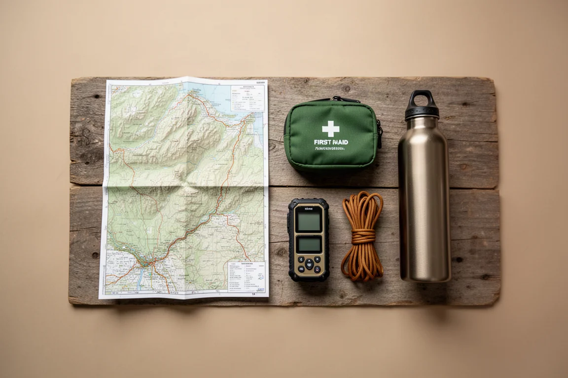
A practical way to decide is to look at how you travel. Weekend trips on marked trails in reliable weather sit comfortably with a phone. Multi-day routes, winter conditions, offshore travel, or anywhere outside the current iPhone satellite coverage favour the inReach. If redundancy without a subscription is what you want, a personal locator beacon alongside your phone covers that gap.
Conclusion
Both approaches solve a real problem, and they solve it differently. The iPhone 14 and iPhone 14 Pro put satellite emergency SOS, crash detection and basic satellite location sharing into a device you already own, free for two years after activation, with coverage that is still expanding. The Garmin inReach Mini 2 costs more over time but delivers worldwide coverage, multi-day battery life, glove-friendly hardware and a mature emergency response network, plus non-emergency messaging and automatic tracking. Match the device to the trips you actually take, and either choice gives you a meaningful safety margin when the signal bars disappear.
Further reading
Related Reviews
Outdoor Tech
PeakDo LinkPower Starlink Mini Battery Review: Reliable Off-Grid Power
A TSA-compliant 99Wh battery that clips directly onto the Starlink Mini dish, offering over four hours of run time and USB-C solar charging.
Outdoor Tech
Satellite Messaging Showdown: iPhone 14, Garmin inReach Messenger Plus, and Hiboy P6
Apple's built-in satellite messaging, Garmin's photo and voice capable communicator, and an affordable all-terrain e-bike compared on hardware, coverage, and cost.
Outdoor Tech
Apple Watch vs Garmin: Which Outdoor Watch Should You Buy?
A practical comparison of the Apple Watch Ultra, Apple Watch SE, Garmin Fenix 6, and Garmin Epix for daily wear and outdoor use.