Outdoor Navigation
How to Check for Snow on a Trail: Five Mapping Tools for Winter Trip Planning
Five mapping tools, three free and two paid, that show snow cover, snowfall forecasts, and steep terrain on a specific route before you leave home.
Introduction
Snow on the mountains behind a trailhead says very little about conditions on the route itself. Elevation, aspect, and tree cover all move the snow line around, and a summer hike can turn into a mountaineering objective once the ground is covered. The useful news is that a handful of mapping tools can show snow cover on a specific route before you leave home.
This roundup covers five options. Three are free and work well together: a 3D terrain viewer, a satellite imagery service, and a mapping platform with forecast and slope layers. Two are paid platforms that gather the same information, plus offline navigation, into a single app.
Every layer described here is modelled or satellite derived, so treat it as a planning aid rather than a guarantee. Winter travel also rewards preparation. Beginners benefit from starting on easier terrain, taking a class, or going out with someone experienced before committing to bigger objectives. On the mountain, your safety is your responsibility.
How These Snow-Checking Tools Fit Together
Each tool answers a slightly different question. A 3D terrain viewer shows where a route climbs and where the snow line crosses it. Satellite imagery shows what the ground actually looked like on a recent clear day. Forecast layers show what may arrive in the next 48 hours, and slope angle shading flags terrain where the theoretical chance of avalanche is higher.
Used together, these layers cross-check one another. When a snow model and a recent satellite pass agree, confidence in the picture goes up. When they disagree, it usually means looking more closely at elevation and aspect before deciding anything.
The free workflow below assumes two files on your computer: a snow overlay in KMZ format and the trail as a GPX track. GPX tracks come from most GPS watches and route-sharing services, and a KMZ snow overlay is a single download.
Google Earth Pro: Free 3D Snow Overlays
Google Earth Pro is a free desktop program that works as a 3D earth browser. Install it, then download the latest snow analysis KMZ overlay from the NOAA snow data page. Take the snow analysis layer rather than the snow station layer.
Opening the KMZ places the snow model over the terrain. Opening the GPX trail file afterwards, and choosing to create KML line strings, moves the view straight to the route. Switching into the 3D view makes it easier to see where the snow line crosses the climb. In the Sierra Nevada around Lake Tahoe, for example, the line sat near 6,000 feet, with the route falling inside a two to four inch band on the overlay key. Higher elevations appear in purple.
The same 3D view is useful with no snow layer loaded at all, since steepness and grade become easy to read. Mobile versions accept a KMZ snow layer and a KML version of the track, which can be converted from GPX online.

Sentinel Hub: Fresh Satellite Imagery for Snow Cover
Sentinel Hub provides high resolution satellite imagery of the Earth, captured regularly by a satellite system operated by the European Space Agency. Enter a location, select the natural color view, and recent passes appear. A date finder lets you step back to the most recent clear day, which is what matters when judging snow.
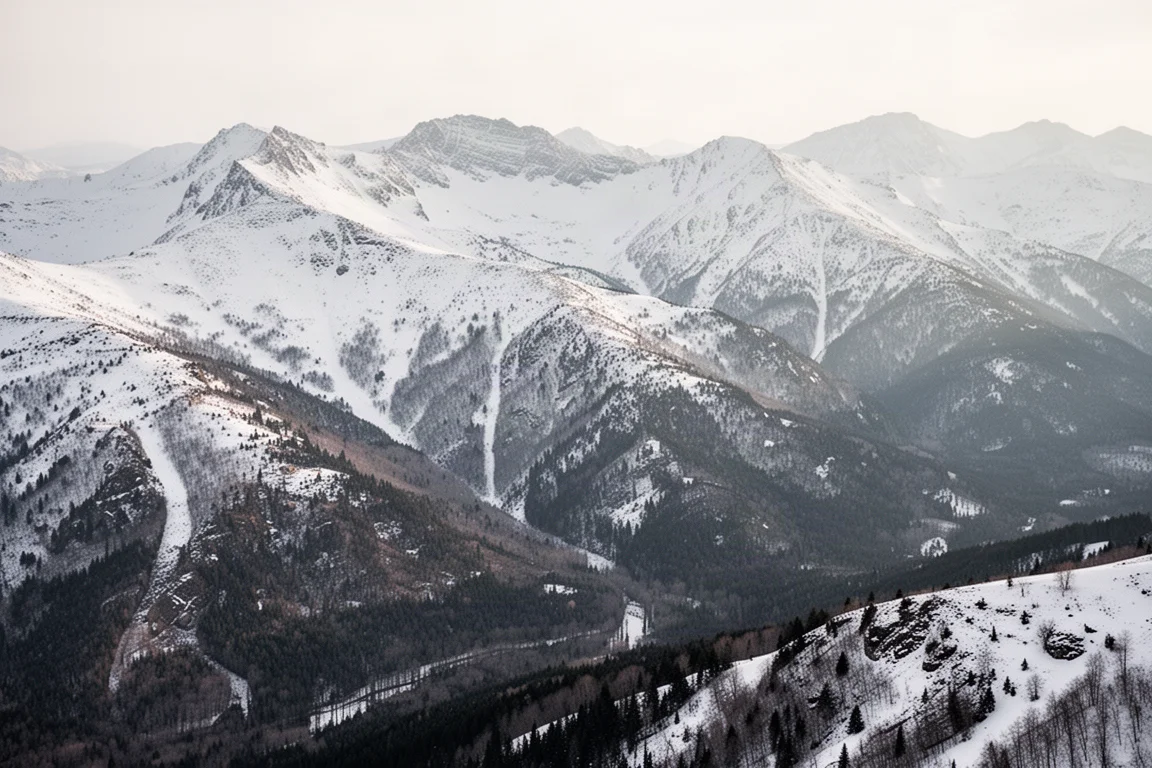
This is a useful reality check on any model. If a snow overlay suggests a light dusting but a fresh satellite image shows a continuous white blanket, the imagery should win. A GPX track cannot be overlaid here, so the route has to be compared visually against the terrain.

CalTopo: Snowfall Forecasts and Slope Angle Shading
CalTopo is a free mapping service that can be used without an account, with a free account for saving work and paid tiers that add further options. Two layers matter most for winter planning.
The weather shading layer shows a 48 hour snowfall forecast, which answers whether new snow is expected rather than how much is already on the ground. The slope angle shading layer highlights steep terrain in purple and darker tones, where the theoretical chance of avalanche is greater. Loading a GPX track onto the map shows whether a route crosses that steeper ground, and switchbacks on a steep face are exactly the kind of feature worth flagging. Snow overlay data can also be imported onto the map, though it renders more plainly than in a 3D viewer.

Gaia GPS: Planning, Navigation, and Snow Layers in One App
Gaia GPS is the paid platform worth considering if you want everything in one place. It runs on the web, iOS, Android, tablets, and phones, and covers route planning, saving, recording, and navigation as well as snow checks.
Dragging a GPX file onto the window imports the route immediately. From the layers menu, snow depth shows the same snow line as the free 3D workflow, and a snow forecast layer can sit on top of it. A satellite layer can be placed underneath for comparison, and the two generally line up closely, with local variation. Slope angle shading adds the steep terrain view.
A 3D view brings the layers together on the terrain, which is powerful even if it is less fluid than a dedicated 3D globe. The bigger advantage is offline maps on a paid account, so the snow layers travel with you beyond phone reception, alongside a large library of map and layer options.
FATMAP: Smooth 3D Terrain With International Coverage
FATMAP is a similar platform that requires an account, with snow layers available on the paid plan. It is particularly useful outside the United States, and it covers American terrain as well.
Routes are created by choosing a hiking activity and uploading a track, which brings the route in on a 3D terrain animation that is noticeably smooth. The layers menu offers base maps and overlays, fewer than the larger platform above, plus live snow, fresh snow, and forecast views, though not all of them at once. For an international route, that combination of terrain and snow data is hard to match.

Free Versus Paid: How to Choose
The free combination covers a lot of ground. Google Earth Pro handles 3D terrain and the snow model overlay, Sentinel Hub confirms conditions with recent satellite imagery, and CalTopo adds forecast snowfall and slope angle shading. For a day hike or a first winter outing, that is usually enough to decide whether a route is realistic.
A paid platform earns its place when planning becomes routine or the trips get more ambitious. One app holds the route, the layers, the slope shading, and offline maps that keep working without signal. The trade-off is a subscription and, for some layers, a specific tier. Working through the free tools first is a sensible way to learn what the data looks like before paying for convenience.
Conclusion
Snow on a specific trail is a question with a practical answer. Load the snow overlay, drop the route on top, confirm it against a recent satellite pass, then check the forecast and the slope angle before committing. Free tools do this well, and a paid platform makes it faster while carrying the information onto the mountain. Either way, start on easier terrain, go with experienced company, and treat every layer as an estimate rather than a promise.
Further reading
Related Reviews
Outdoor Navigation
Natural Atlas Review: Trail-Accurate Navigation for Hikers
Natural Atlas measures distance along real trails rather than straight lines, and pairs that with offline maps, tide predictions, and printable paper maps.
Outdoor Navigation
Best Satellite Communicators and Outdoor GPS Devices 2026
A practical guide to handheld GPS units, satellite messengers, beacons and outdoor watches, with the real strengths and trade-offs of each option.
Outdoor Navigation
Caltopo vs AllTrails Plus: Which Outdoor Planning Tool Fits Your Hike?
A practical comparison of two outdoor planning tools: Caltopo for detailed trip planning and terrain data, and AllTrails Plus for simple trail discovery and navigation.