Outdoor Apps
Hiiker App Review: Trail Planning, Layered Maps, and Offline Navigation
A practical look at the Hiiker trail app, from layered partner mapping and offline downloads to hike recording, plus what to check before subscribing.
Introduction
Hiiker is a trail app for phones and desktop computers, built around a simple idea: help more people get outside and explore the network of trails that crisscross the planet. The platform has grown into a community project as much as a navigation tool, with walkers contributing route notes, articles, and local knowledge.
The app is free to download, and a large part of what it does costs nothing at all. A subscription adds extra tools, with one-year and three-year options available.
This guide walks through the features that matter most in practice, from layered mapping and route planning to offline downloads and hike recording, and then explains who gets the most out of paying for a subscription.
Who Hiiker Is For
Hiiker suits walkers who like to research a route before they travel. Every trail has its own page, and long-distance routes such as the Coast to Coast, the GR20, the Kungsleden, and the Pacific Crest Trail sit alongside shorter local paths. That range makes it useful both for someone planning a multi-week trek and for someone who simply wants to know what is within an hour of home.
It is equally handy for travellers. Zooming around the map in an unfamiliar region quickly reveals trails that would otherwise be missed, which is a real benefit for anyone who hikes abroad or spends time in a different part of the country.

Because the trail pages are community-driven, they carry public reviews, user-written articles, and an amenities summary alongside the map itself. The result is a planning resource that answers the practical questions, such as where the stages fall and what services exist along the way, rather than only showing a line on a map.
Trail Maps and Navigation Tools
The default base map is a detailed outdoor mapping style that shows contour lines, roads, lanes, rivers, forests, and the sea. It is available on the free tier and is more than enough for straightforward navigation on marked trails.
On the map screen, a location button drops a blue dot on your position. A crosshair stays fixed in the centre of the screen and reports your latitude and longitude, your distance from the crosshair, and your elevation above sea level. Placing the crosshair on a contour line or a spot height gives a quick read on the terrain around you, and tapping a junction further along the route shows how far you still have to walk.
Layered mapping is one of the app’s strongest features, and it sits behind the subscription. Partner layers include Harvey Maps and Ordnance Survey coverage in the UK, Ordnance Survey Northern Ireland, mapping for Ireland, New Zealand, and other regions worldwide, and USGS topographic mapping for the United States. Layers can be blended with intensity sliders, so a historical Ordnance Survey Great Britain map can be faded in over the modern one to reveal old railways, fort sites, and vanished features next to their present-day equivalents. For anyone who enjoys reading a landscape, that comparison is genuinely absorbing.
Maps can be shared with friends and family, and markers can be cleared in a single action when a screen becomes cluttered.
Planning Routes, Stages, and Accommodation
Each long-distance trail is broken into suggested stages marked with flags, and a reverse option flips the order so the same route can be planned in either direction. Stages are suggestions rather than rules, which helps when your own itinerary does not match the standard one.
Points of interest do most of the heavy lifting for planning. Accommodation markers cover hotels, hostels, bed and breakfasts, campgrounds, shelters, and open mapping campsites. Amenity markers add bus stops, fast food, healthcare, peaks, pubs, pharmacies, water sources, restaurants, shops, towns, viewpoints, and historical sites. Switching on a category such as hostels or water makes it obvious where the next practical stop sits.

The measurement tool is well judged for tired legs. It follows only the GPX line of the trail you have open, never a random road, and returns the distance between two points along the route together with a rough walking time and the elevation at that spot. Asking how far it is to the next water source or shelter becomes a two-tap question.
The explore view is a second route into the same library. It opens a map centred on your location, and zooming in reveals numbered trails nearby with their distances. Selecting one opens the full trail page, which is a quick way to discover local paths you may never have heard of.
Recording Hikes and Importing GPX Files
The record tab covers several situations. You can start a track with no route at all, follow a known route, follow a route you planned yourself, or re-record a hike you have already saved. Once recording begins, the app updates distance walked and elevation gained as you move, which makes it a simple way to document a walk for a group, a club, or your own records.
When you stop, the session can be named, given a description, and tagged with photos before it is saved. Recorded hikes are then stored under your profile, so past walks remain available to look back on.
For routes that already exist elsewhere, a GPX file can be imported into the map view. The imported line appears with a distance figure, an elevation gain figure, and an elevation profile that can be tapped to inspect specific stretches. Downloading GPX files for existing trails and printing route maps are subscription features.
Offline Maps and Battery Life
Offline downloads are the feature that makes the app dependable in the hills. You choose the layers you want, select a map area, and store it on the phone. After that the map can be used without a signal, and the phone can stay in flight mode, which saves a meaningful amount of battery over a long day.
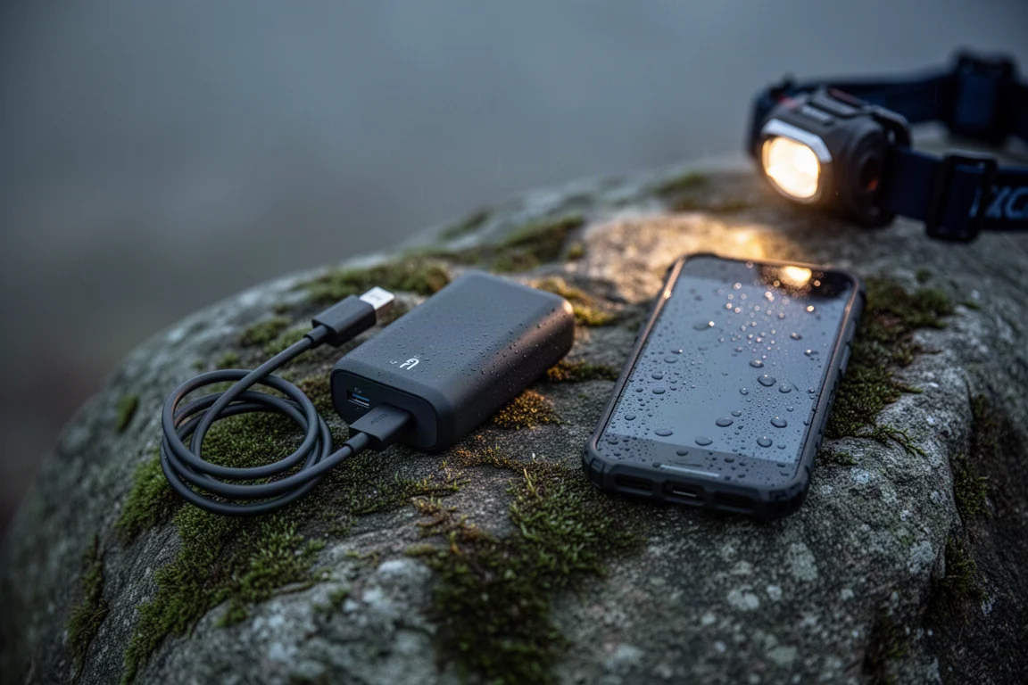
It is worth knowing that GPS recording needs a clear view of the sky to stay accurate, and leaving a track running continuously will draw down the battery. The desktop version is useful for the planning side of the same account, where a larger screen makes route comparison and layer blending far easier.
Things to Consider Before Buying
Distance figures for a trail are generally reliable, but the app’s other estimates are guidance rather than gospel. Suggested day counts can run long compared with a fit walker’s pace, and difficulty ratings may not match how a route feels on the ground. Treating both as a starting point, and adjusting for your own speed and the conditions, avoids disappointment.
Several of the most attractive tools, including layer blending and GPX downloads, require a subscription, and some features need you to log in before they become available. There is also no way around the fact that a phone is a single point of failure on a remote route.
Buying Advice
The free tier is a fair place to start. It covers the base mapping, the trail library, points of interest, and route pages, which is enough to decide whether the app fits how you plan walks. If you regularly follow long-distance routes, want historical and partner mapping layers, or rely on offline downloads and GPX files, the subscription earns its place.
One-year and three-year subscriptions are offered, and a 20% promotional discount has been advertised on both. A longer term makes sense if you already plan several trips a year and know you will keep using the map tools.

Whoever you hike with and whatever you carry, tell someone your intended route and expected finish time, and keep a paper map or a second device as a backup. Batteries run out and electronics fail in sustained rain, so the app is best treated as a capable primary tool with a simple fallback.
Conclusion
Hiiker is a strong choice for hikers who want one place to research a trail, plan the stages, navigate on the ground, and record what they walked. The free version is genuinely useful, the layered mapping is unusually rich, and offline downloads remove the worry of losing signal on a remote route. Check the estimates against your own experience, subscribe only for the features you will actually use, and it becomes a dependable companion on the trail.
Product link
View more details for Hiiker
This product is mentioned in the review. Check the specifications, options, and compatibility before buying.
View more details for HiikerFurther reading
Related Reviews
Backpacking Gear
Backpacking Gear List 2026: A Comfort-Focused Three-Season Kit
A comfort-focused three-season backpacking gear list covering the pack, shelter, sleep system, water treatment, cook kit and layering, with notes on what each piece is good for.
Backpacking Gear
Best Backpacking Gear 2026: 18 Ultralight Favorites for Three-Season Trips
A field-tested roundup of lightweight backpacking gear, from frameless packs and Dyneema shelters to quilts, cook kits and camp comfort.
Backpacking Gear
Best Backpacking Gear Picks: Field-Tested Award Winners for Three-Season Trips
A field-tested roundup of backpacking award picks, from packs and shelters to stoves, filters and trail electronics, with clear guidance on who each one suits.