Apple Watch Apps
Goose Maps Review: Offline OpenStreetMap Navigation on Apple Watch
A practical look at Goose Maps, an Apple Watch app that stores open street map areas directly on the watch for offline hiking, riding, and city navigation.
Introduction
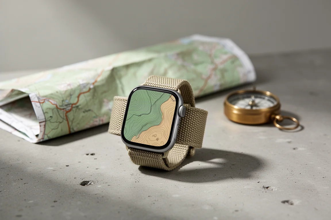
Offline maps on a smartwatch are more limited than they first appear. Many setups still expect a paired phone nearby before a saved map becomes usable on the wrist, which is awkward on a long trail where the phone stays buried in a pack or left at home. Goose Maps approaches the problem differently. It stores open street map areas on the watch itself, so a region you prepared earlier stays browsable and navigable without a phone.

The app is a paid download that includes a seven day free trial, which makes it reasonable to test against terrain you already know. The workflow is simple in principle. Choose your areas in the iPhone app, download them to the watch while you still have a connection, then use them offline wherever you end up.
Who this product is for
Goose Maps suits people who want a reference map on the wrist rather than a strict route follower. Hikers, trail runners, and riders who want to see where they are, which trails connect nearby, and how the terrain is shaped will get the most from it. It is also useful for city walking, where the point of interest list leans toward urban features.
It is a weaker fit if you expect polished turn by turn guidance on trails, or if you plan a hike on a computer and want to load a prepared route file. Importing a GPX track is not offered.
Main strengths: fast, detailed offline maps
Responsiveness is the standout quality. Panning across a downloaded area with a finger and zooming with the digital crown feels immediate, and the detail holds up as you go deeper, with contour lines, trail networks, and named peaks visible on the watch display.
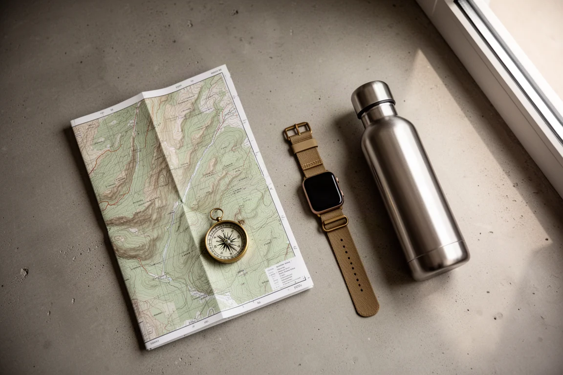
Map style options cover light and dark themes plus a hiking style that adds contour lines. The hiking style uses a clear color scheme and enough outdoor detail to read terrain at a glance. Areas are selected inside the iPhone app, but the actual transfer happens on the watch, so start it while the watch has a connection. Search works well in the iPhone app, though it appears to be limited to cities rather than parks.
Search, points of interest, and workout integration
The find button surfaces nearby points of interest, and that list skews toward an urban environment. A restroom, for example, appears as a small pink marker that takes a moment to spot and select. Once chosen, you can see the distance, save the place, or start walking or riding toward it, with an estimated time and a route line drawn across the map.
During navigation, a walking icon opens trip details that include an elevation graph, and your progress updates on that graph as you move. Goose Maps can also run at the same time as the Workout app. Start a hike, switch back to the map, and both keep working with no phone involved.
Turn-by-turn navigation and rerouting
Guidance is the least consistent part of the experience. Turn notifications did not appear at a trail intersection, and when walking deliberately the wrong way on a trail, the position marker stayed pinned to the route line instead of correcting. In a neighborhood setting, rerouting behaved better, recalculating a sensible way back to the destination after a wrong turn.

Even with that caveat, the offline map itself carries a lot of value. You can see where you are, what other trails branch off nearby, and features such as contour lines and peak names, which is often enough to navigate confidently on a trail you already know.
Things to consider before buying
A few points are worth checking before you commit. The app is paid, with a seven day free trial available to evaluate it. Map areas are chosen on the iPhone but downloaded on the watch, so plan ahead while you still have a connection. Search in the iPhone app appears to be limited to cities, points of interest lean toward urban features, GPX import is not available, and turn notifications were unreliable in testing.
Buying advice
Approach Goose Maps as a fast offline reference map rather than a complete navigation system. Before a trip, open the iPhone app, choose the region you need, then trigger the download on the watch while you are still connected. Test it on a familiar trail first, so you know how the map reads and how the routing behaves before you depend on it somewhere new.

If your priority is knowing where you are and what surrounds you, whether on a trail or in an unfamiliar city, the trade-offs are easy to accept. If you need dependable turn prompts or want to load route files you planned in advance, treat those gaps as real limitations and decide whether the map alone still earns its place on your wrist.
Conclusion
Goose Maps solves a genuine problem for Apple Watch owners who want maps that live on the watch instead of depending on a phone. The maps are detailed, the performance is impressive, and it coexists cleanly with workout tracking. Guidance has rough edges, but for many days outdoors the map alone is the feature that matters.
Product link
View more details for Goose Maps
This product is mentioned in the review. Check the specifications, options, and compatibility before buying.
View more details for Goose MapsFurther reading
Related Reviews
Backpacking Gear
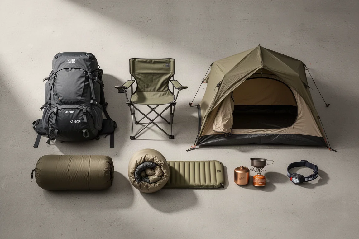
Backpacking Gear List 2026: A Comfort-Focused Three-Season Kit
A comfort-focused three-season backpacking gear list covering the pack, shelter, sleep system, water treatment, cook kit and layering, with notes on what each piece is good for.
Backpacking Gear
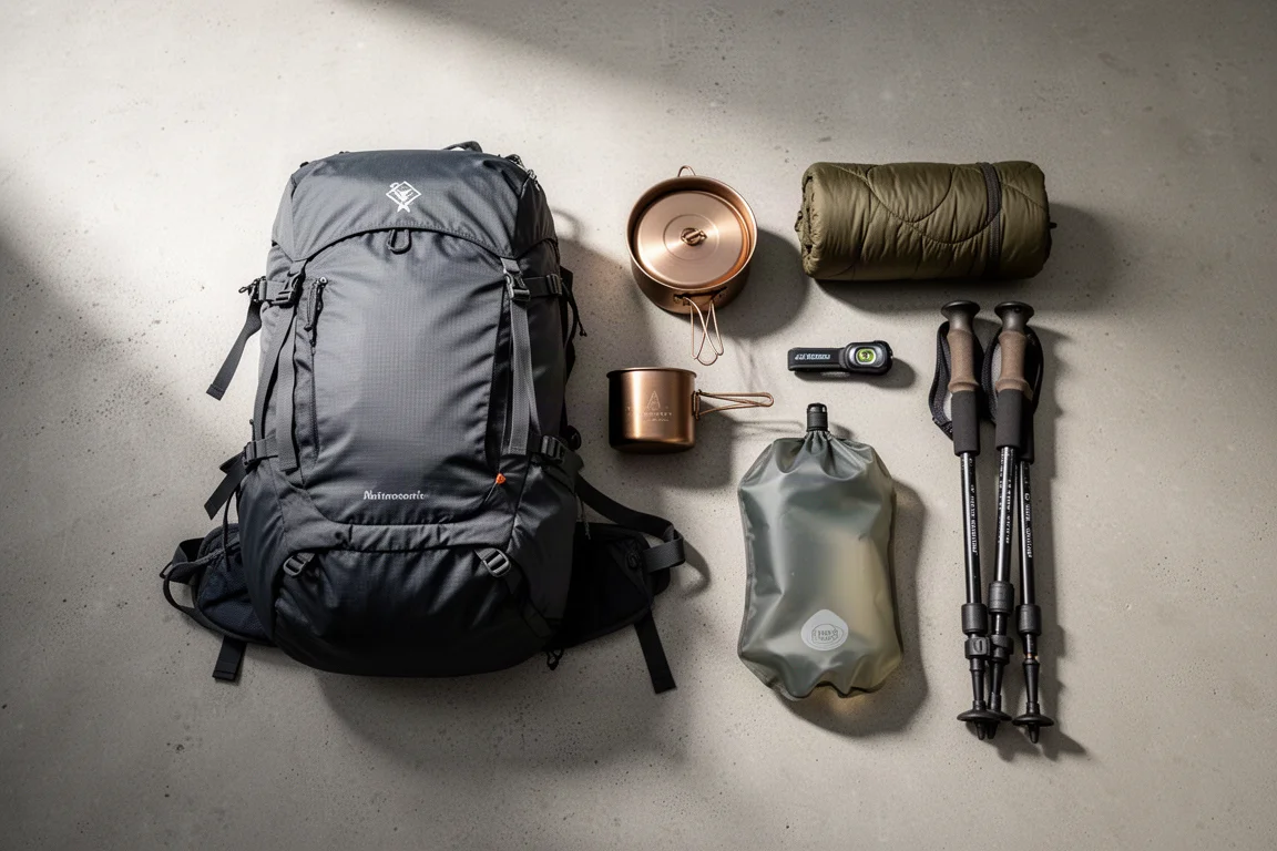
Best Backpacking Gear 2026: 18 Ultralight Favorites for Three-Season Trips
A field-tested roundup of lightweight backpacking gear, from frameless packs and Dyneema shelters to quilts, cook kits and camp comfort.
Backpacking Gear
Best Backpacking Gear Picks: Field-Tested Award Winners for Three-Season Trips
A field-tested roundup of backpacking award picks, from packs and shelters to stoves, filters and trail electronics, with clear guidance on who each one suits.