Outdoor GPS
Garmin GPSMAP 66sr Review: Multi-Band Accuracy for Serious Backcountry Navigation
A field-tested look at the Garmin GPSMAP 66sr handheld, covering multi-GNSS and multi-band positioning accuracy, battery life, maps, and the trade-offs worth knowing before you buy.
Introduction
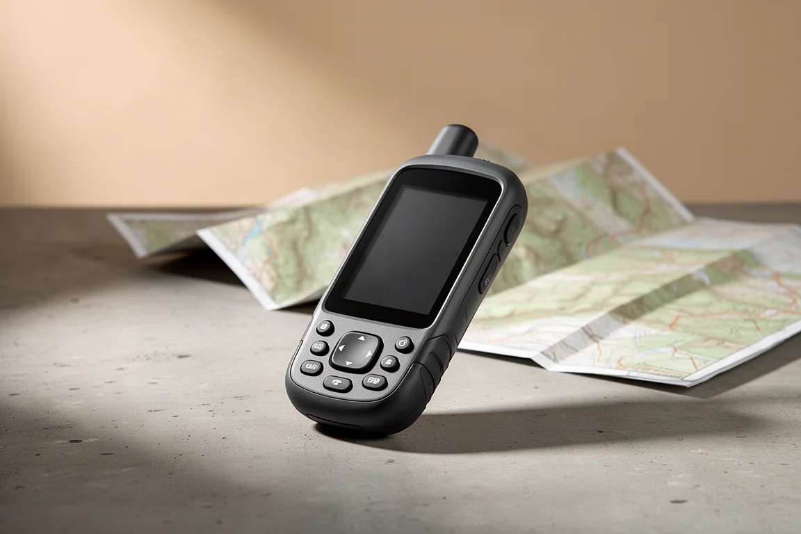
The Garmin GPSMAP 66sr is the handheld Garmin places at the top of its range for positioning accuracy. It is a button-driven outdoor navigator built around two reception technologies, multi-GNSS and multi-band, designed to hold a dependable fix in terrain where a phone or a simpler receiver tends to wander.
After roughly two months of use, that reputation held up. The 66sr returned a steady position in open country and in far harder places, including a rim-to-rim crossing of the Grand Canyon where signals bounce off canyon walls and a clear view of the sky is constantly interrupted.

What stands out is not one dramatic number but the consistency behind it. The unit routinely reported accuracy of about six feet, and it held that figure while moving rather than only while standing still. That steadiness is what makes recorded tracks, waypoints, and trip distances more trustworthy over a long day out.
This review covers how the reception works in practice, where that accuracy shows up on real routes, what the battery and build quality are like to live with, and the trade-offs worth weighing before you buy.
Who this product is for
The GPSMAP 66sr is aimed at people who navigate away from reliable phone coverage and need the position to hold up. Backpackers, long-distance hikers, geocachers, and hunters are the clearest fit, especially anyone who plans routes on a computer and then transfers waypoints and tracks to the device.
It also suits anyone who prefers physical controls. The unit is operated entirely with buttons and arrow keys, with no touchscreen, which makes it practical in heavy rain, in cold conditions, and with gloves on. The sides are rubberized for grip, and the screen is light-readable and comfortable to read in bright sun.
It is a less natural fit for anyone who needs satellite messaging. The 66sr has no inReach capability, so off-grid communication requires a separate device or a different model in the range.
Main strengths: positioning accuracy and reception
Two reception features do the heavy lifting here, and understanding them explains why the 66sr behaves the way it does in difficult terrain. Both are visible on the satellite screen, where the unit lists the constellations and signal bands it is currently reading.
Multi-GNSS and multi-band reception
Multi-GNSS means the unit listens to more than the American GPS constellation. It also receives Galileo from Europe, GLONASS from Russia, and the Indian and Japanese systems that have coverage over Asia. One notable omission is the Chinese system, which matters less than it sounds given that more than 100 satellites are operational across the supported constellations. More satellites simply means more options, and the receiver can favour a stronger signal over a weaker one. In theory only four signals are needed for a three-dimensional position, and three for a two-dimensional one.
Multi-band adds a second layer. The original GPS signal, known as L1, went up in 1993 and behaves a little like AM radio: audible, but prone to interference. Newer satellites also broadcast L5, which is stronger and cleaner, closer in character to FM radio. The 66sr can receive both L1 and L5 from the same satellite, and comparing the two lets it detect errors and discard a corrupted reading. The classic example is multipath, where a signal reflects off a canyon wall or a tall building, and the same principle helps compensate for disturbances in the atmosphere.
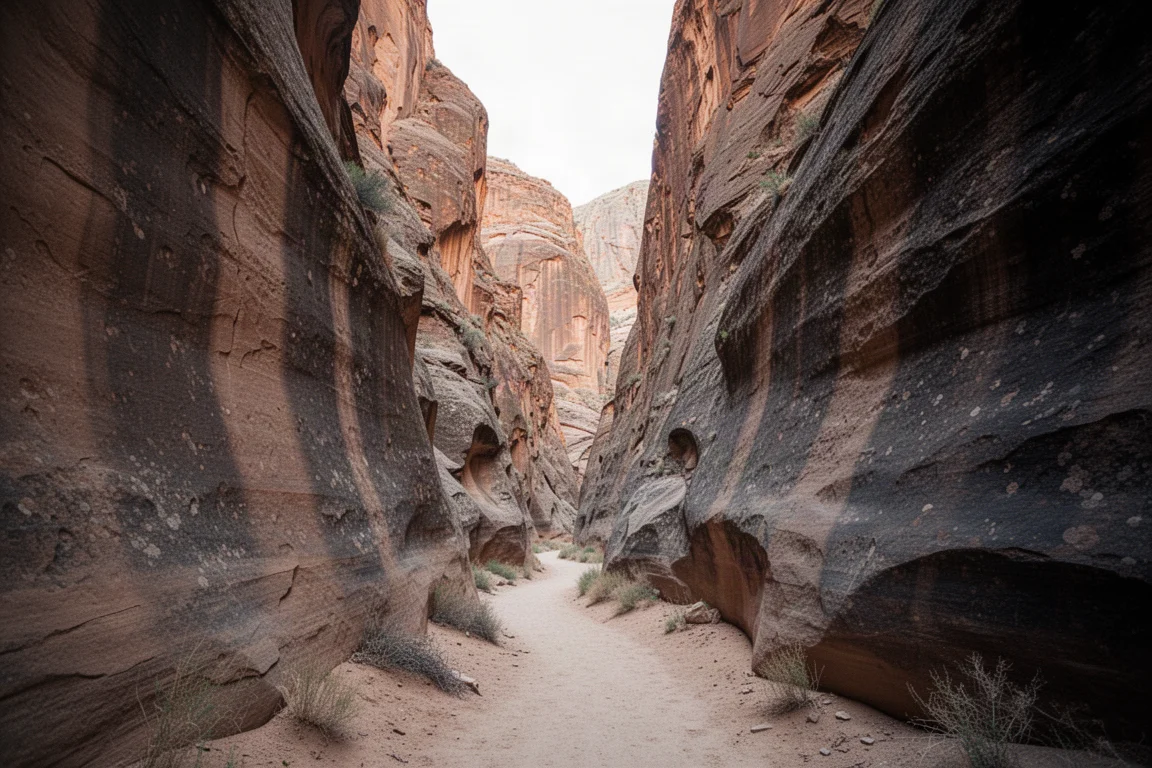
The practical result of all that engineering is a reported accuracy of about six feet, whether the unit is out in the open or deep inside the Grand Canyon. For hiking, backpacking, geocaching, and hunting, that is close to as precise as most people need. Chasing an extra few feet of precision would rarely change a decision on the trail.
Consistency matters as much as the headline number. A stationary unit can look impressive while a moving one jumps around. The 66sr held its accuracy while walking, point after point, which produces a cleaner track line and a distance reading that sits closer to the real distance covered.
Track accuracy in steep terrain
To put those claims under real pressure, the same rim-to-rim route in the Grand Canyon was recorded at the same time on the 66sr and on three other devices: a Garmin GPSMAP 66i, a Garmin Fenix 6X Pro Solar, and an iPhone 12 Pro Max. The route runs down the South Kaibab and Bright Angel trails, across the Colorado River, and up the North Kaibab, then back again the following day under different atmospheric conditions.
The comparison tracks tell a clear story. In open desert under open sky, every device performed well and the lines sat almost on top of each other. Once the route entered switchbacks, steep side canyons, and sections where the walls block much of the sky, the differences appeared. The 66sr stayed on the mapped trail through most of those stretches, while the other devices drifted well off the path, swung wide on tight climbs, or dropped out entirely for periods before recovering.
Fairness matters here. The 66sr was not flawless. It drifted briefly in heavy pine forest and in one section of the North Rim climb, and all four devices struggled in the tightest canyon walls. The overall pattern, though, was a track that followed the trail more faithfully than the alternatives, with fewer wild jumps to either side.
That matters for a practical reason. Every time a track jumps off the line and back again, extra distance is added to the total. Over a long route, a wandering receiver can inflate the distance by a noticeable margin, and the 66sr’s smoother recording keeps the number closer to reality.
Elevation is handled with similar care. With three satellites fixed, the unit reports a two-dimensional position of latitude and longitude. With four or more, it reports a three-dimensional position that includes elevation, and the GPS-derived elevation has generally been accurate to within about 10 feet, which is strong for a handheld receiver. The 66sr also carries a barometric altimeter, and it can calibrate that sensor from the GPS elevation. Because the GPS elevation is reliable here, the barometric altitude benefits too, and both approaches typically land within about 10 feet.
Battery life, charging, and build quality
Garmin advertises 36 hours of battery life for the 66sr. In practice, with battery saver enabled and the backlight set to 100 percent, the unit has been delivering around 32 hours. That is enough for several day hikes without a charge, or a three to four night backpacking trip on a single top-up.
Battery saver is worth switching on immediately. It turns the screen off once the backlight interval expires, and that interval can be set anywhere from 15 seconds upward, or to never. Enabling it is the single easiest way to reach the upper end of the runtime.
The battery is internal lithium-ion, so it cannot be swapped in the field and spare packs are not an option. That suits a micro-USB charging workflow, where one small USB brick and one cable can top up a phone, a camera, a headlamp, and the navigator together. Anyone who prefers field-swappable cells should look at the GPSMAP 65s, which offers similar multi-GNSS and multi-band reception but runs on AA batteries.
One quirk is the battery indicator. It is graphical only, with no percentage readout, and a percentage appears solely while the unit is charging and powered down. Third-party Connect IQ widgets can add a battery level and an estimated time remaining, and they are easy to install from the store.
The hardware itself is built for the outdoors. The 66sr can be dropped and rained on without drama, and the button layout includes haptic feedback and a soft click, which makes it usable when conditions are poor. The screen is about three inches, readable in bright light, and adjustable through the backlight settings. It sits comfortably in one hand, and the whole unit can be operated with a thumb, including the power button on top. Rubber covers protect the ports, and after hard use they have continued to seal and function. The one caution is the glass: a direct hit on a rock can shatter it, so carrying the unit in a pocket or a pack pouch rather than clipped loosely to the outside of a pack is sensible.
There is no touchscreen at all. Map panning is done with the arrow keys and buttons, which takes a little adjustment but keeps the screen free of smudges and works with gloves. Customization is a genuine strength: profiles for different activities, home screen icons that can be added or removed, and data fields on each page that can be arranged to show only what you want. After a few trips, a glance down is enough to find everything.
Things to consider before buying
Active Weather is the weakest feature on the device. It needs a connection to the outside world, either through a paired phone or a Wi-Fi network, so it cannot pull a forecast from the backcountry the way an inReach device can over satellite. Even when it is connected, the output is generally no better than a phone, and often lower resolution. Treat it as a convenience rather than a backcountry forecasting tool.
The interface is the other point to weigh. It looks dated, and a first-time Garmin user may find it old-fashioned next to a modern smartphone app. That simplicity has a real upside, though. In rain, in cold, or with eyes strained by a full day of sun, large text, predictable menus, and no fiddly sub-menus make the unit quick and easy to operate. It is a deliberate trade of polish for legibility.

Satellite messaging is the third consideration. The 66sr does not include inReach, so anyone who wants two-way communication beyond cell coverage needs to add a separate inReach device or choose the GPSMAP 66i instead. The catch is that the 66i gives up multi-GNSS and multi-band reception to gain inReach, so the two priorities pull in opposite directions.
Naming across the range does not help. The 66sr, the 66s, the 66st, the 66i, and the 65s all sit close together on paper while differing in reception, battery approach, and messaging. Reading the specification of each model carefully is worth the time.
Maps, connectivity, and the wider lineup
TopoActive maps come preloaded and are region-specific, so a unit bought for North America carries North American maps and a European unit carries European ones. They are built on OpenStreetMap data, updated fairly often, and offer genuinely good trail coverage. Documented, named trails almost always appear with their names, and coverage lines up closely with official trail listings. Smaller use trails, cutoffs, and animal tracks are deliberately left out, which is a helpful choice: a faint line that turns out to be a bushwhack is worse than no line at all.
BirdsEye Satellite Imagery is included with a free lifetime subscription, so the imagery stays available for as long as the device is in use. Trail names and features overlay on top of the photos, and the level of detail is workable in the field for route decisions, though it is not comparable to the best phone-based satellite imagery. Updates have improved it over time. Downloading imagery directly on the unit is a little clunky, since it means connecting to Wi-Fi and selecting a radius around a point. Doing it through Garmin Basecamp on a computer, where a custom shape can be drawn, is considerably easier and the result transfers straight across.
Storage and map options are broad. A microSD card up to 32GB allows additional custom maps, and Garmin 24K topographic maps can be added at extra cost. Garmin City Navigator maps enable address search, which the preloaded maps do not support: without them, the unit searches natural landmarks rather than street addresses. A workaround is to move the pointer to roughly the right spot and route from there. Free OpenStreetMap maps can also be loaded, which is useful for anyone travelling between regions without paying for extra map sets.
Basecamp is a strong planning companion. Connecting the unit to a computer gives access to both TopoActive and BirdsEye maps at higher resolution on a larger screen, which makes planning a trip, building waypoints, and laying out a route far more comfortable. Tracks and routes transfer to the device in a few clicks.
For data handling, the 66sr offers Wi-Fi and Bluetooth and syncs with both Garmin Explore, the outdoor navigation ecosystem, and Garmin Connect, the fitness-focused one, individually or at the same time. A cable connection to Basecamp moves items back and forth, and the unit also mounts as a disk drive, so GPX files can be copied off manually. There is a lot of flexibility in how data gets on and off the device.
The compass and the ABC sensors behave like those on other Garmin handhelds, which is to say they are adequate. The compass is accurate, and the altimeter benefits noticeably from GPS calibration on this model, which is what keeps the altitude readings inside that roughly 10-foot range.
Buying advice
If reliable positioning in difficult terrain is the priority, the GPSMAP 66sr is the model to choose. The multi-GNSS and multi-band reception is what separates it from the rest of the range, and the Grand Canyon comparison shows the difference is not theoretical. It also carries the best map package, with TopoActive maps and lifetime BirdsEye imagery included.
If satellite messaging is essential, the sensible combination is a 66sr for navigation paired with a separate inReach device for communication. The alternative is the GPSMAP 66i, which adds inReach but gives up multi-band reception. That trade is reasonable for most people, since a difference of six feet versus roughly twelve feet of accuracy rarely changes an outcome outside the most extreme terrain, such as the floor of the Grand Canyon.
If swappable batteries matter more than an internal cell, the GPSMAP 65s offers similar reception technology with AA power. For day hikers and weekend backpackers, the internal battery and micro-USB charging of the 66sr are usually the simpler arrangement.
Whichever way the decision falls, the deciding factor is the terrain you actually ride or walk in. A navigator that holds its position through switchbacks, steep side canyons, and dense tree cover earns its place on the pack, and that is the specific problem the 66sr was built to solve.
Conclusion
The Garmin GPSMAP 66sr does one thing better than almost anything else in its class: it keeps an accurate, steady position when the sky is partly blocked and the terrain is working against the signal. Around six feet of accuracy in open ground and deep canyon alike, a track line that stays on the trail, and roughly 32 hours of real-world battery life make it a dependable companion for multi-day trips.
The compromises are clear and easy to plan around. There is no satellite messaging, the weather feature needs a connection, the battery cannot be swapped, and the interface looks its age even though it works well under pressure. Buyers who understand those limits and want the strongest positioning available in a Garmin handheld will find the 66sr delivers exactly what it promises.
Product link
View more details for Garmin GPSMAP 66sr
This product is mentioned in the review. Check the specifications, options, and compatibility before buying.
View more details for Garmin GPSMAP 66srFurther reading
Related Reviews
Outdoor GPS
Garmin GPSMAP 67i Review: Multi-Band GPS in a Familiar Handheld
The GPSMAP 67i adds multi-band GNSS, USB-C charging, and longer battery life to a rugged handheld that is otherwise almost identical to the GPSMAP 66i.
Outdoor GPS
Garmin GPSMAP H1i Plus Review: What to Know Before You Buy
A redesigned handheld GPS with a 3.5-inch hybrid touchscreen, satellite messaging, cameras, and voice control, plus the trade-offs worth knowing first.
Backpacking Gear
Building a 10 lb Base Weight: An Ultralight Backpacking Gear List
A practical walkthrough of the ultralight pieces behind a 10 lb base weight, from a 765 g pack and a roomy one-person tent to a full camp chair and a dependable water filter.