Handheld GPS
Garmin GPSMAP 65 vs GPSMAP 66i vs Montana 750i: Which Handheld GPS Fits Your Hike
A practical comparison of three Garmin handhelds, covering multi-band GNSS precision, TopoActive maps, battery life, and satellite messaging.
Introduction
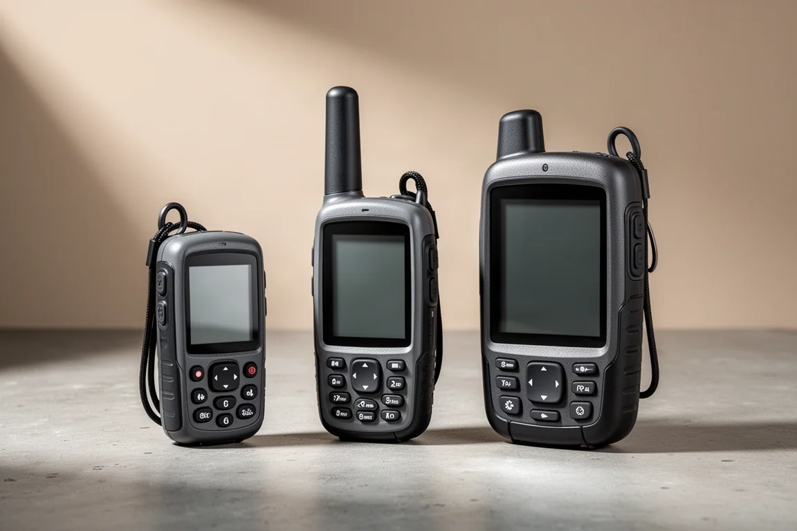
Garmin’s current handheld lineup offers three different answers to the same question: how much positioning accuracy do you actually need away from the trailhead? The GPSMAP 65 leads on precision thanks to a new multi-band receiver. The GPSMAP 66i trades some of that precision for satellite messaging. The Montana 750i uses the standard receiver design and shows what most hikers already get from a Garmin handheld.
The GPSMAP 65 was used across five to six weeks of trail time before this comparison, with the GPSMAP 66i and the Montana 750i on hand for direct side-by-side checks. The unit was bought at full retail rather than supplied by the manufacturer. The aim here is to explain what the new receiver genuinely changes, and where it changes nothing at all.
What Multi-Band GNSS Changes on the Trail
GNSS stands for global navigation satellite system. GPS is the United States version, and it is joined by GLONASS, Galileo, and one system each from India and Japan. On the GPSMAP 65 the setting is simple: multi-GNSS, GPS only, or demo mode. There is no per-constellation toggle for mixing GPS with Galileo or GLONASS individually, which is a small step back from some earlier Garmin handhelds.
Multi-band reception is the bigger change. Within each satellite system there are several bands: a public band open to hikers and hunters, a civil band used for non-military precision work such as civil aviation, and encrypted military signals. The United States opened its civil L5 band to the public, and Galileo and GLONASS have done the same. The GPSMAP 65 is the first receiver in this class that can pick up both the public and civil bands. The United States government quotes roughly 25 feet of precision for the public GPS band alone.
The practical benefit is redundancy. If the receiver picks up a satellite on both the L1 and L5 bands and one of those signals is distorted by the atmosphere or bounced off a canyon wall, the unit can compare the two and discard the bad reading. More signals, and more types of signal, give the receiver more information to work with.
Measured on the trail, that translated to about six feet of horizontal precision on the GPSMAP 65. The GPSMAP 66i and the Montana 750i, which do not have the multi-band receiver, typically managed around eight feet at best. That is roughly a 25 percent gain. For a hiker deciding whether to turn left or right at a junction, the difference between a six-foot bubble and an eight-foot bubble rarely matters. A phone running a mapping app produced 16 feet in the same conditions.
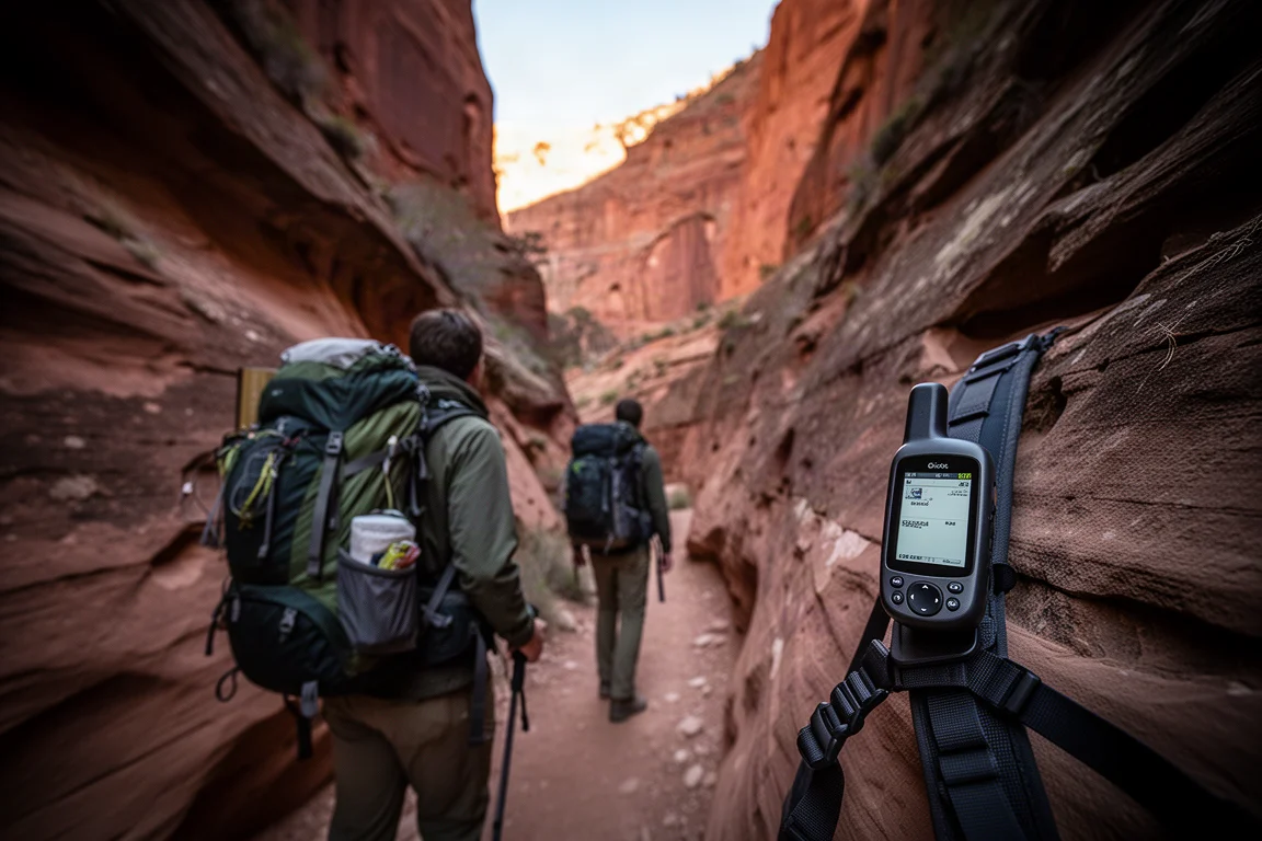
Elevation is where the numbers separate more clearly. Non-multi-band handhelds landed within 50 to 200 feet, while the GPSMAP 65 came within 10 to 20 feet. Garmin quotes older non-multi-band elevation accuracy within roughly 400 feet. Even so, treat any handheld altitude as a general guide for tracking climb and matching a position to a topographic map, not as a surveyed figure.
The GPSMAP 65 also carries a barometric altimeter with manual calibration, where you set a known elevation, and an automatic mode that blends the satellite elevation with barometric data. Altitude readings with automatic calibration looked slightly better on this unit than on the older receivers.
Through canyons and mountains the GPSMAP 65 performed almost the same as the other handhelds. The terrain that stresses a receiver most, deep slot canyons with heavy signal reflection, was not part of this testing, so the multi-band advantage remains most relevant for hikers who spend real time in places such as Zion or the Grand Canyon.
Garmin GPSMAP 65: The Multi-Band Handheld
The GPSMAP 65 uses the same case as the GPSMAP 64, so anyone upgrading from that generation will find it familiar. Zoom in and out buttons sit above a set of arrow buttons that move through menus and across the map, joined by find, mark, quit, enter, and menu keys. The power button is on the side, there is a lanyard clip on the back, and the standard Garmin spine mount d-ring sits behind the battery cover. Two AA batteries power the unit, and alkaline, lithium, or rechargeable cells all work. The microSD card slot is under the battery cover as well. The rubberised grip sits comfortably in the hand, and the button layout lets a thumb reach every key without repositioning.
The software will be immediately familiar to anyone who has used a Garmin handheld. The page button cycles through customizable quick menu items, including the map page and the elevation plot, and the main menu holds everything else. There is no Connect IQ support, so third-party apps cannot be loaded. Setup menus and page sub-menus work through the menu button in the usual way.
Maps are bundled in the form of Garmin TopoActive outdoor maps, with contour lines, trails, trail names, and tappable amenities. The map base now draws on OpenStreetMap data, which has noticeably improved trail coverage. Individual map layers can be switched off in the map setup menu, and disabling the ones you are not using helps the screen redraw faster. A public lands layer shades state and federal land, though local and county parks were not included in the region tested. Bird’s Eye satellite imagery requires a paid subscription and is not part of the purchase. About 3.7 GB of internal memory is free for loading free OpenStreetMap files, custom maps, or scanned topographic maps.
Navigation covers the essentials well. You can route to a point of interest or to a position under the cursor, follow an active route page with step-by-step directions, watch progress on the trip computer and compass pages, and customize the data fields on each. Waypoints are marked with a single button press and managed from the waypoint manager.
Battery life is close to the advertised figure. Garmin claims 16 hours, and real use landed between 14 and 16 hours with battery saver enabled, Bluetooth off, and unused maps disabled. Lithium cells last longer than alkaline, and rechargeable batteries can be charged inside the device over a mini USB connection rather than micro USB. The battery indicator is the weak point: it reads voltage rather than a percentage, so it can fall from two bars to nothing, or warn of a nearly empty battery while the cells are still relatively fresh.
Bluetooth is a newer addition to this line. Wireless transfers run through the Garmin Explore app on Android and iOS, but the setup is convoluted, since the device must sync with Garmin Connect before it will sync with Explore, and collections created in Explore do not carry through to the waypoint manager. Dragging files over USB or using Garmin BaseCamp is the simpler route. Phone notifications can also appear on screen over Bluetooth, and turning Bluetooth off when it is not needed is the easiest way to keep them quiet.
Garmin GPSMAP 66i: Satellite Messaging and a Bigger Body
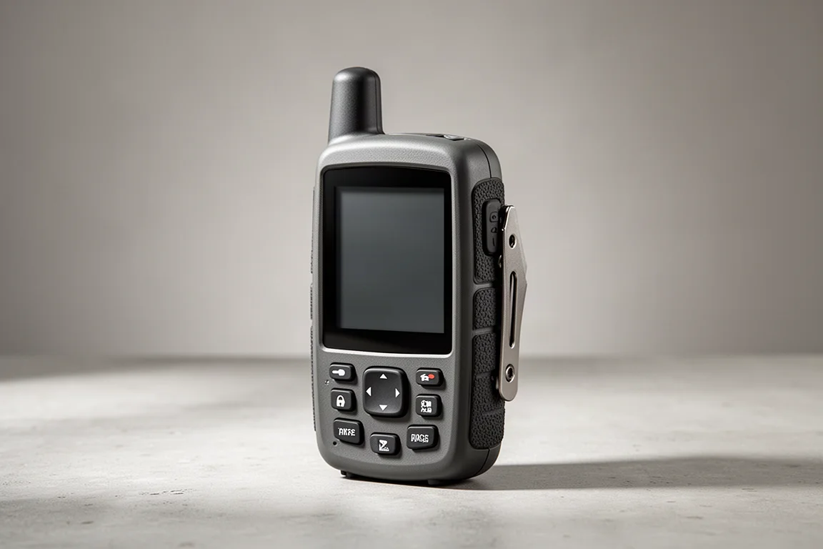
The GPSMAP 66i is a little larger than the GPSMAP 65 and does not include the multi-band receiver, so it landed around eight feet of precision at best under the same conditions. What it adds instead is inReach, which allows two-way text communication with emergency personnel and with friends and family from the backcountry where there is no cell signal.
For most hikers that is the more valuable trade. Two feet of extra precision rarely changes a decision on a mapped trail, while the ability to send a message when something goes wrong can matter enormously.
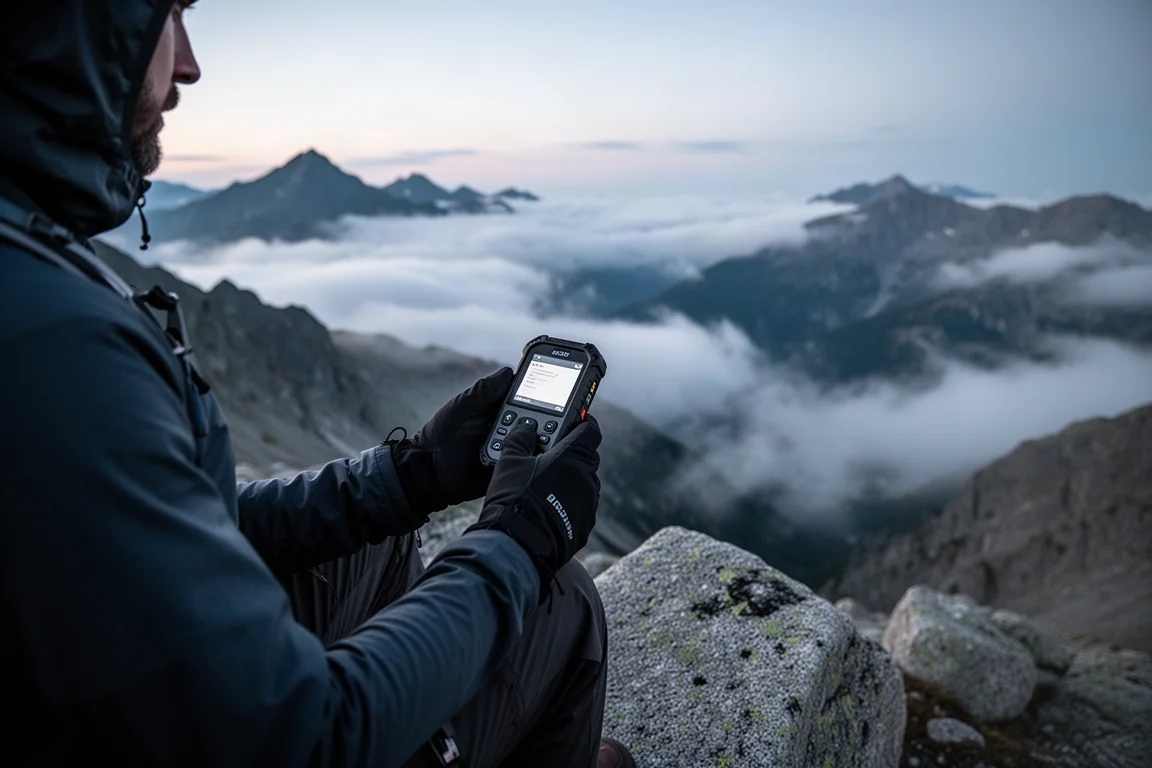
If you want a single Garmin handheld that covers the widest range of situations, the GPSMAP 66i is the one to look at first, unless multi-band precision or the smaller GPSMAP 65 body is specifically what you are after.
Garmin Montana 750i: A Standard-Precision Handheld
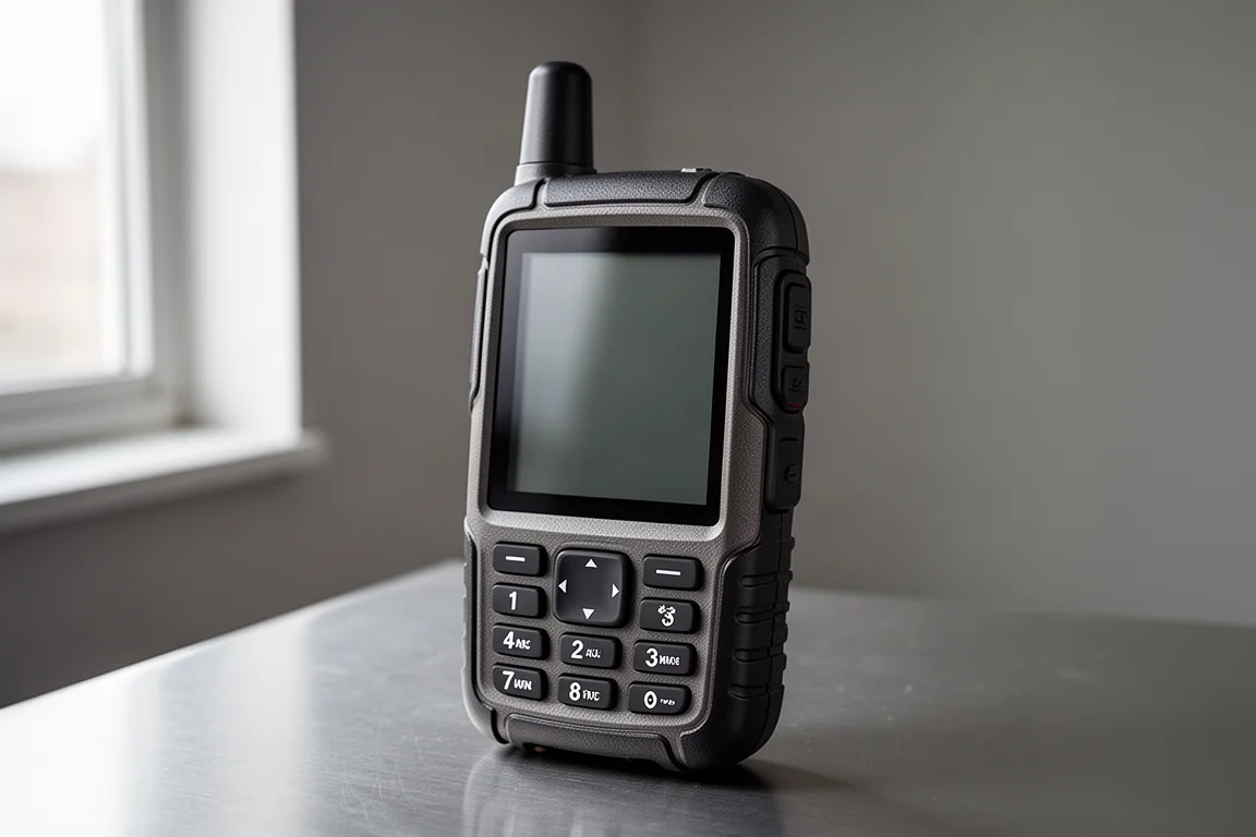
The Montana 750i is another Garmin handheld without the multi-band receiver, and it reached around eight feet of precision at best in the same tests, matching the GPSMAP 66i rather than the GPSMAP 65. Elevation readings on these standard receivers stayed within 50 to 200 feet, against 10 to 20 feet on the multi-band unit.
On ordinary trails, the gap barely showed. The GPSMAP 65 performed almost the same as the other handhelds through the canyons and mountains covered during testing, which is the honest headline: the extra precision appears in specific terrain, not in everyday wayfinding.
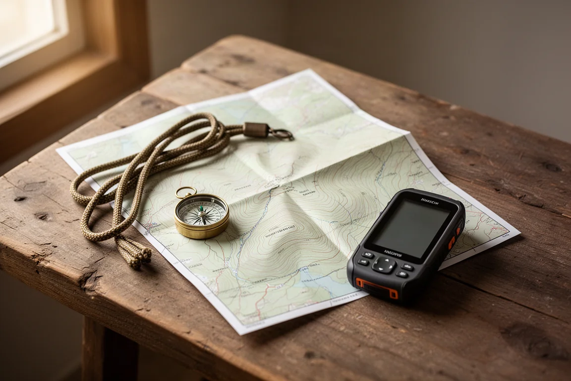
If your routes are established and well mapped, a standard receiver does the same job as the newer hardware. The sensible way to compare the Montana 750i against the GPSMAP 65 is on the features that matter to your hikes rather than on precision alone.
Buying Advice: Which Garmin Handheld Fits Your Hike
The choice comes down to terrain, communication needs, and how much you value the newer receiver.
- If you already own a working 6-series handheld, there is little reason to replace it. The GPSMAP 65 is a logical step if your current unit is failing or if you specifically want more precision, especially when AA batteries are a priority.
- If you want the most precise consumer handheld available, the GPSMAP 65 is the one to choose. Professional surveying receivers cost thousands and can allegedly pinpoint to within a centimeter, but they are not trail tools.
- If you hike canyons and deep valleys where signal reflection causes dropouts, the GPSMAP 65 has the strongest case, since that is exactly the situation the multi-band receiver is built to handle.
- For most people, the GPSMAP 66i remains the better recommendation, because inReach messaging is more useful in the backcountry than two feet of extra precision.

One caveat applies to all of this: if six feet versus eight feet has ever changed a decision on one of your hikes, the multi-band receiver earns its place. For everyone else, the practical differences between these three handhelds come down to messaging, size, and battery preference rather than raw accuracy.
Conclusion
The GPSMAP 65 delivers the most precise consumer positioning of the three, with roughly six feet of horizontal accuracy and elevation readings far tighter than standard receivers. The GPSMAP 66i gives up some of that precision for inReach satellite messaging, which is the more useful feature for most backcountry users. The Montana 750i shows what a standard Garmin receiver already provides, and for well-mapped trails that is often enough. Match the handheld to where you hike and to whether you need to send a message when there is no signal, and any of the three will serve you well.
Further reading
Related Reviews
Handheld GPS
Garmin eTrex Touch Review: Rugged Handheld GPS With Real Trade-Offs
A detailed look at the Garmin eTrex Touch, covering real battery runtime, GPS accuracy, all-weather touchscreen performance, and the software quirks to weigh before buying.
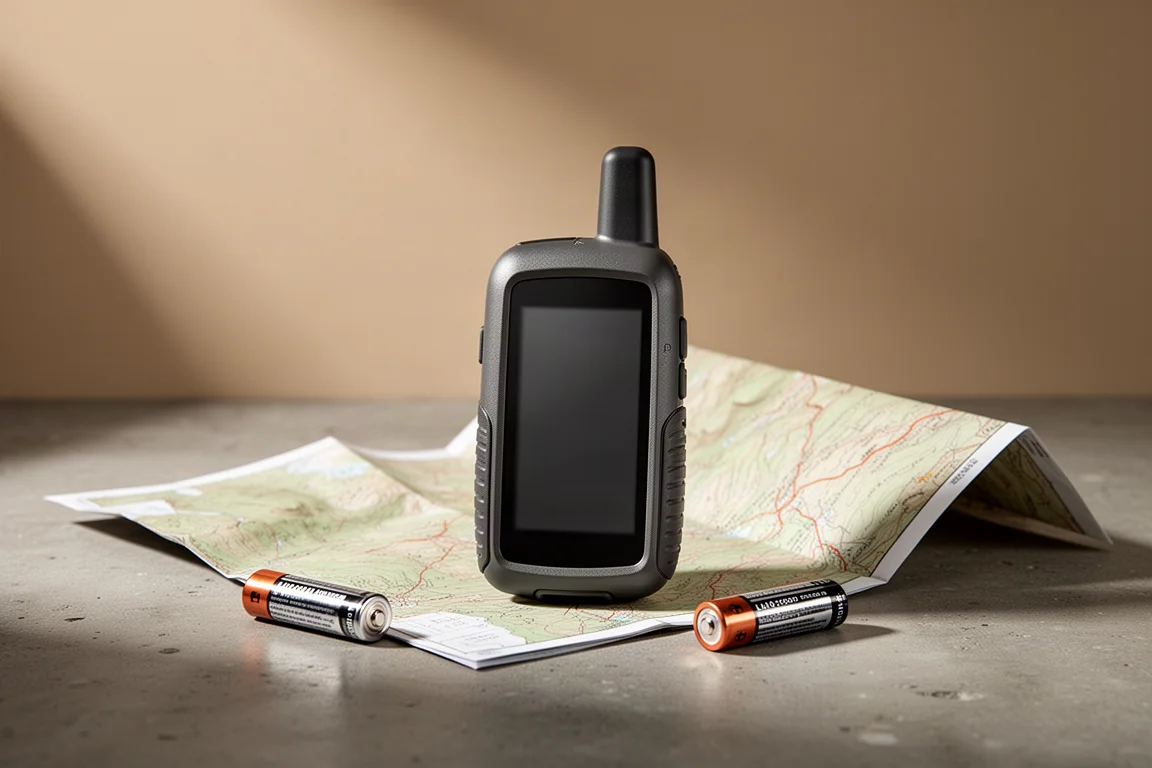
Handheld GPS
Garmin GPSMAP 65 Review: Multi-Band Precision in a Familiar Handheld
A hands-on look at the Garmin GPSMAP 65, its multi-band GNSS precision, elevation accuracy, battery life, maps, and who should buy it.
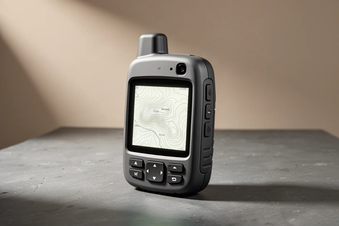
Handheld GPS
Garmin GPSMAP H1 Review: A Capable Handheld Navigator That Still Needs Polish
A close look at Garmin's flagship handheld navigator: accurate tracks after months of firmware updates, dependable inReach messaging, and the screen and battery trade-offs to weigh before buying.