Outdoor Navigation
CalTopo vs AllTrails Plus: Choosing the Right Outdoor Planning Tool
A practical comparison of two outdoor planning apps: CalTopo for layered route planning and conditions data, and AllTrails Plus for simple trail discovery and navigation.
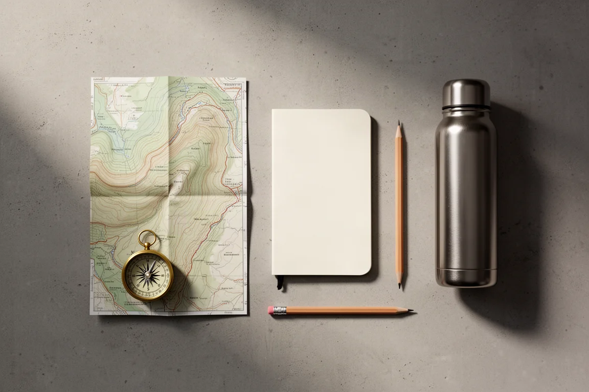
Introduction
Planning a hike well comes down to two questions: where exactly you are going, and what the conditions will be when you get there. Some tools answer both in depth. Others keep things simple and hand you a route.
CalTopo and AllTrails Plus sit at opposite ends of that spectrum. CalTopo is a layered mapping platform for people who want to study terrain, snow, fire history, and access roads before leaving the house. AllTrails Plus is aimed at hikers who mainly want a good trail, a route, and some guidance along the way.
This comparison looks at what each one does well, where each one asks for patience, and which kind of hiker each one suits.
What to Look For in an Offline Planning Tool
Before comparing the two, it helps to know which capabilities actually change a trip.
Base map quality matters most. A topographic base map with trails already drawn on it gives you a starting point you can trust, and stacking satellite imagery on top of it lets you confirm that a trail still exists on the ground where there is no tree cover. Scanned topographic maps and cleaner forest service topographic maps add feature names for peaks, valleys, and other landmarks, while a shaded relief view helps you read the landscape beyond the contour lines.
Conditions data is the second layer of value. Slope angle shading, sun exposure, fire history, current fire activity, snow coverage, and cell coverage all influence whether a plan is sensible on a given day.
Finally, consider how the plan leaves the screen: whether you can export a route file, print a map, or carry an offline copy on your phone.
CalTopo: Layered Planning for Complex Routes
CalTopo opens with a deliberately plain layout. The map sits in the middle, layers run down the right side, and map objects sit on the left. Layers tell you what you are looking at. Objects are the things you create and place on top of the map.
The usual starting point is the map builder topographic layer, which includes a lot of trails. From there you can stack satellite imagery over the trails, overlay scanned topographic maps or forest service topographic maps for feature names, and use the shaded relief slider to visualize the terrain outside the contour lines.
Conditions layers are where CalTopo separates itself from simpler apps. Slope angle shading pushes steeper sections into a darker purple, which highlights potential avalanche terrain and trails that climb very steeply. Sun exposure shows how exposed a hike is likely to be. Fire history reveals whether a route passes through an old burn area, and fire activity adds the latest satellite heat detections so you can see where a fire is moving relative to your plan. Cell coverage helps you decide whether you need a satellite communicator at all. Weekly satellite imagery is useful for checking whether snow is still sitting on the trail, and clicking a weather station gives you a sense of conditions at that location.
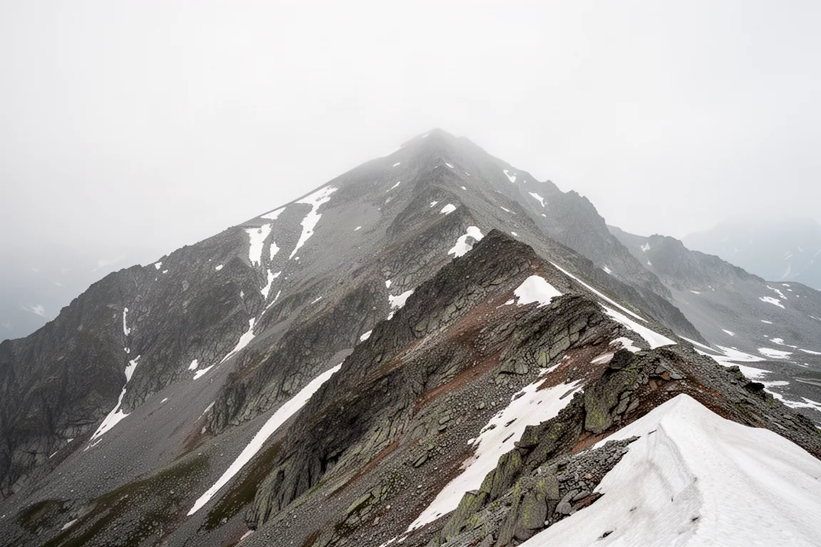
Logistics layers round things out: roads for reaching the trailhead, public lands boundaries so you can tell whether a route crosses private property, and historic maps for finding old mines and structures. Map sheets let you drop smaller maps or overlays on top of the view, and on a paid account you can upload your own overlays, such as forest service closure PDFs.
Once the layers are set, the two map objects you will use most are markers and lines. A marker is a waypoint: give it a name, pick a color and symbol, add a description, and file it in a folder. On a paid account you can attach a photograph so you know what the spot looks like when you arrive. A line becomes a track or a route, and the snap-to routing draws the line along the trail network automatically when you click two points. Snapping can be changed or turned off, though the default open street map option generally does the job. Lines can be named, reformatted, and given a description or photo, just like waypoints.
From there, most people export a GPX file and import it into whatever they carry. That might be a watch app, a Garmin device, or a Coros watch, and the names, descriptions, and photos travel with it. You can also print the plan to a PDF or order a paper map, and on a paid account you can generate a custom map layer and load it directly onto a Garmin device.
CalTopo in the Field: Navigation, Offline Maps, and Live Tracking
With a paid or mobile account, a plan syncs to your phone and you can download offline maps while you still have a connection. Navigation itself is the weakest part of the experience. The interface has quirks and does not always behave the way you expect. The basic workflow still works: select a route and follow the arrow, or select a waypoint and pull up the photo you saved for it. You can also drop new waypoints as you go and attach photos to document the trail.
A small cloud button forces the app into offline mode so it only uses downloaded content, which is worth doing whenever you drift in and out of cell range. Recording a track is the core field function. If you have saved the map and shared the link, other people can follow your progress live on that map as you record, and this works over a satellite connection in the same way dedicated satellite communicators such as a Garmin inReach operate. Map tiles can also be downloaded over a satellite connection when you need another layer.
Most of what CalTopo does is available on a free account. The paid tier adds premium layers, 3D maps, PDF uploads, photos on waypoints, and Garmin custom maps. For year-round use the paid account represents solid value, but the sensible path is to start free and upgrade only when a specific feature becomes necessary.

AllTrails Plus: Simple Trail Discovery
Not every trip needs a stack of layers. AllTrails Plus is built for the hiker who wants a straightforward answer: a good hike to do, the route to follow, what other people say about it, and help navigating along the way. It is a good buy for someone who does not need the more powerful feature set and would rather spend the evening hiking than studying map layers.

That simplicity is the point. If your trips are mostly established trails and you want a recommendation plus a route rather than a terrain analysis, AllTrails Plus covers the essentials without a learning curve.
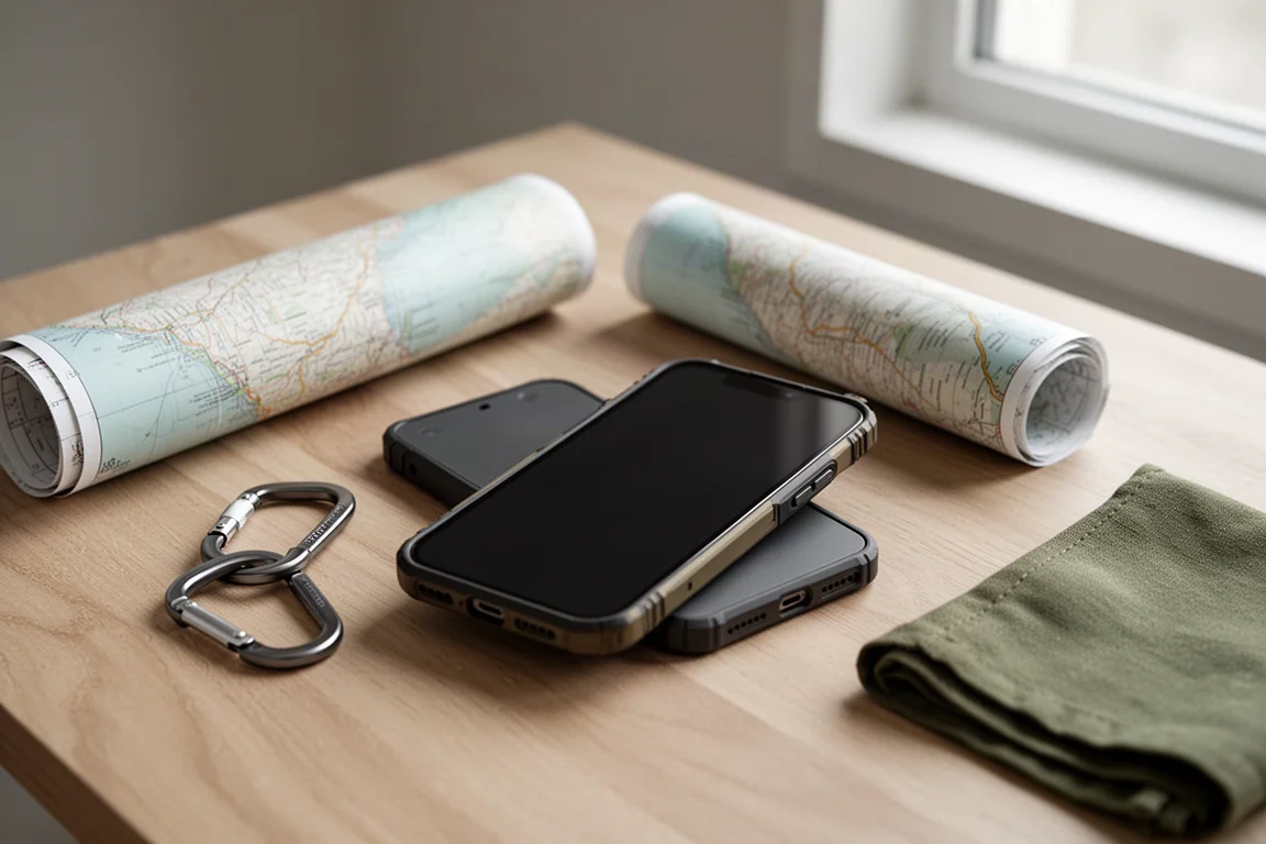
Matching the Tool to the Trip
The decision usually comes down to the trips you actually take.
If you plan complex routes, travel in avalanche terrain, cross burn areas, or want to check snow coverage and cell coverage before committing, the layered approach pays off. The same is true if you like exporting GPX files to a watch or GPS device, printing paper maps, or sharing a live track with people at home.
If your hikes are simpler and your main questions are which trail to walk and how to follow it, a lighter app answers them with far less setup. The two are less competitors than different levels of detail, and plenty of people use the simpler tool for everyday hikes and the mapping platform for the trips that demand more.
Overall Buying Advice
Both tools reward a low-commitment start. CalTopo does most of its core work on a free account, so you can build a route, stack a few layers, and export a GPX file before deciding whether premium layers or 3D maps are worth paying for. AllTrails Plus is the easier first step if you want trail suggestions and navigation without a mapping workflow.
Think about the last three hikes you planned. If any of them involved checking conditions, comparing map layers, or exporting a route to another device, the more powerful platform will earn its place. If you mostly picked a trail and walked it, the simpler option will feel like less work for the same result. Either way, choosing the tool that matches your habits is more useful than paying for capability you will never open.
Conclusion
CalTopo is the deeper tool: a layered planning environment with conditions data, custom waypoints and routes, GPX export, offline maps, and live tracking that can run over a satellite connection. It asks for some patience, and its in-field navigation is not its strongest feature, but the planning depth is difficult to match. AllTrails Plus is the friendlier choice for hikers who want a good route, other people’s input, and straightforward navigation. Start with the free options, and upgrade only when you hit a limit you actually care about.
Further reading
Related Reviews
Outdoor Navigation
Natural Atlas Review: Trail-Accurate Navigation for Hikers
Natural Atlas measures distance along real trails rather than straight lines, and pairs that with offline maps, tide predictions, and printable paper maps.
Outdoor Navigation
Best Satellite Communicators and Outdoor GPS Devices 2026
A practical guide to handheld GPS units, satellite messengers, beacons and outdoor watches, with the real strengths and trade-offs of each option.
Outdoor Navigation
Caltopo vs AllTrails Plus: Which Outdoor Planning Tool Fits Your Hike?
A practical comparison of two outdoor planning tools: Caltopo for detailed trip planning and terrain data, and AllTrails Plus for simple trail discovery and navigation.