Outdoor Navigation
Best Tools to Check for Snow on a Hiking Trail: 5 Mapping Options Compared
Five mapping tools, three of them free, for checking snow cover along a specific hiking route before you set out.
Introduction
Snow on the peaks across the valley tells you almost nothing about the trail you plan to walk. The question that matters before a winter hike is whether your specific route is covered, and roughly how deep that cover is. Guessing from a distant view or a single webcam is not a reliable way to answer it.
One caution before the tools. Winter changes what a hike asks of you. Routes that feel ordinary in summer can demand mountaineering skills once snow is on the ground. If winter hiking is new to you, start on easier terrain, take a course, or head out with someone experienced before committing to anything exposed. These tools help you make a better-informed decision. They do not remove the risk.
What follows is five mapping options, three of them free, that let you check snow along a real route before you leave home.
They answer slightly different versions of the same question, and the strongest results come from using two or three of them together rather than trusting any single source.
How These Tools Work Together
All five tools revolve around two pieces of information: a route track and a snow data layer. Most route sources publish tracks as GPX files, the same format a GPS watch typically records. The free approach pairs that track with a snow analysis overlay downloaded as a KMZ file and opened in Google Earth Pro, then cross-checks the result against recent satellite imagery and a snowfall forecast. The paid approach folds the same layers into a single app that also works offline on the trail.
Whichever route you take, treat every layer as an estimate. Snow models and satellite passes tell you where snow is likely, not exactly what you will find underfoot.
Google Earth Pro: Free 3D Terrain and Snow Overlays
Google Earth Pro is a free desktop program that works as a three-dimensional earth browser. The workflow has three parts. Download and install the desktop version. Download the snow analysis overlay from the NOAA site, taking care to choose the snow analysis KMZ rather than the snow station file. Then download the GPX track for the hike you have in mind.
Opening the KMZ file adds a colour-coded snow model over the landscape. Opening the GPX track and choosing to create KML line strings drops your route directly onto the terrain. Switching to the 3D view makes the snow line easy to read against the shape of the ground, so you can see whether the route stays below it or climbs into deeper cover. The legend bands run from light coverage up to purple at the highest totals, and in practice the model has proven reasonably accurate. Shaded slopes often hold more snow than shown, while sun-exposed slopes hold a little less.
The same view is useful even without the snow layer. Seeing a route in three dimensions makes steepness, grade and the hard sections far easier to judge than a flat map suggests. Google Earth also runs on mobile, though the mobile version wants tracks in KML rather than GPX. That can be handled by converting the file online, or by downloading the track as KML from a route source that offers it.

Sentinel Hub: Fresh Satellite Imagery for Recent Conditions
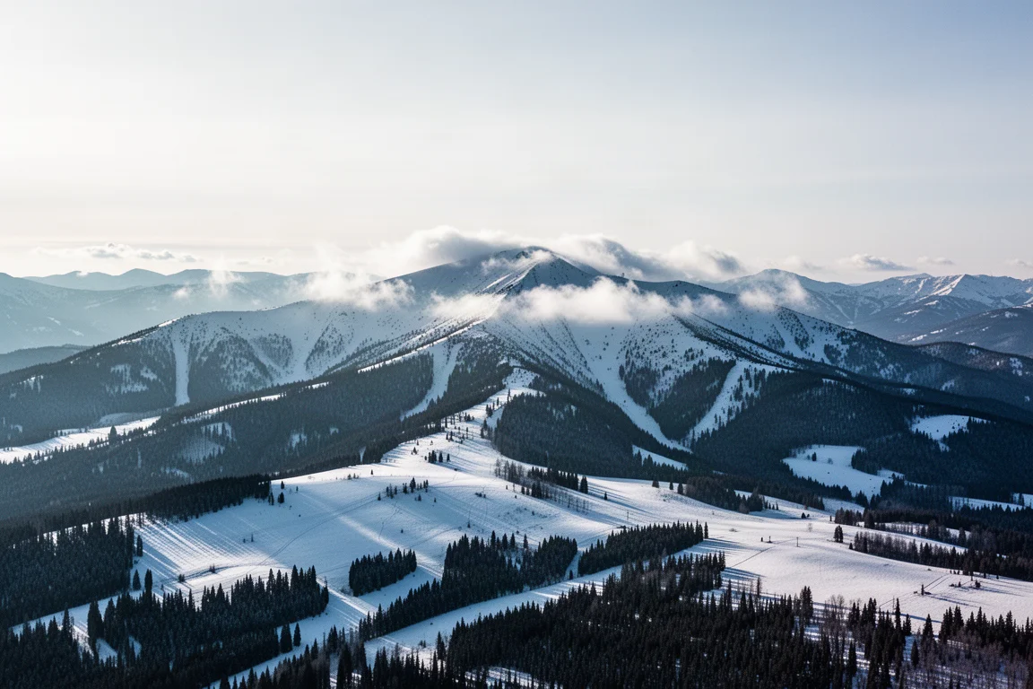
Sentinel is a satellite system operated by the European Space Agency that photographs the Earth at high resolution on a regular schedule. Searching a location and selecting natural colour returns a real image rather than a model, and a date finder along the top lets you step back through recent passes to find the clearest one. On the same area used for the 3D overlay, the imagery showed snow sitting on the upper slopes, which supports what the snow model predicted.
There is one limitation worth knowing. A GPX track cannot be laid over the imagery, so snow extent is read by eye and matched against terrain you have already viewed in three dimensions. Used that way, it is a useful independent check on any model.

CalTopo: Free Forecasting and Slope Angle Layers
CalTopo is a free mapping service that works with or without an account, and a paid tier adds further options. Its most useful free layer for winter planning is weather shading, which displays the 48-hour snowfall forecast across the country. Loading a GPX track shows the route in context, and if forecast snow overlaps the line, you can see it at a glance.
The slope angle shading layer is the one to study before heading into avalanche terrain. Purple and dark shading marks steep slopes, where the theoretical avalanche risk is greatest. On a route with tight switchbacks, that layer makes it obvious which sections deserve caution and which ridge lines look comparatively benign. CalTopo can also display imported snow data, though setting it up is more involved and the result is less visually polished than the same layer in Google Earth Pro.

Gaia GPS: The All-in-One Paid Option
Gaia GPS is the paid recommendation here, and it is more than a snow checker. It runs on the web and on iOS and Android phones and tablets, and covers planning, saving, recording and navigating. A free account exists, but snow layers and offline maps come with the paid tier, which unlocks a large library of layers and maps. Offline maps matter most, because they let you carry the same snow and terrain information onto the trail where there is no reception.
Bringing in a route is a matter of dragging the GPX file onto the window. From there, the layers panel offers snow depth, snow forecast, satellite imagery and slope angle shading. Stacking them reveals where the snow line begins, how the satellite view compares with the modelled depth, and which slopes are steep enough to warrant care. A 3D button turns the whole stack into a terrain model in the browser, which is less fluid than dedicated 3D software but more informative because the data layers come with it.
FatMap: Smooth 3D Terrain with International Coverage
FatMap takes a different approach, built around terrain animation rather than data density. An account is required, and snow layers come with the paid tier. Its strongest feature is the smoothness of its 3D rendering, which makes flying along a route feel natural in a way other tools struggle to match.
The workflow is simple. Create a new route, choose hiking, and upload a track. The map then animates the line over the terrain. A layers button opens base maps and overlays, including live snow, fresh snow and a forecast, although only one of those can be shown at a time. Coverage extends beyond the United States, which makes it a practical choice for routes in Europe, and the layer count is smaller than what Gaia GPS offers.

Choosing the Right Combination
If the goal is to spend nothing, three tools cover the job. Google Earth Pro with the NOAA snow overlay gives the clearest picture of where the snow line crosses a specific route. Sentinel Hub adds a recent satellite view to confirm it. CalTopo contributes the snowfall forecast and the slope angle shading that flags avalanche terrain. Together they answer the question well, at the cost of a little setup.
If you would rather have everything in one place, including offline access on the mountain, Gaia GPS is the practical choice. FatMap is worth adding if smooth 3D terrain and international coverage matter more than layer variety.
Whichever combination you settle on, the value comes from cross-checking rather than from any single layer. A snow model, a recent satellite pass and a forecast that broadly agree give you a reasonable picture of what to expect.
Conclusion
Checking for snow on a trail is not complicated once you know where to look. A route track, a snow analysis overlay and a recent satellite image will tell you more than any view from the trailhead. The paid tools simply bundle the same information into one place and add offline maps for the walk itself.
Use what you find to choose a route that matches your experience and the conditions, and treat winter terrain with the respect it demands.
Further reading
Related Reviews
Outdoor Navigation
Natural Atlas Review: Trail-Accurate Navigation for Hikers
Natural Atlas measures distance along real trails rather than straight lines, and pairs that with offline maps, tide predictions, and printable paper maps.
Outdoor Navigation
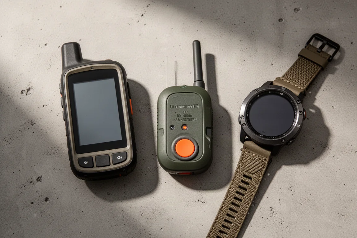
Best Satellite Communicators and Outdoor GPS Devices 2026
A practical guide to handheld GPS units, satellite messengers, beacons and outdoor watches, with the real strengths and trade-offs of each option.
Outdoor Navigation
Caltopo vs AllTrails Plus: Which Outdoor Planning Tool Fits Your Hike?
A practical comparison of two outdoor planning tools: Caltopo for detailed trip planning and terrain data, and AllTrails Plus for simple trail discovery and navigation.