Outdoor Navigation
Best Satellite Communicators and Handheld GPS Devices for the Outdoors
A practical roundup of satellite communicators, handheld mapping GPS units, and adventure watches, with the strengths and trade-offs that matter before you buy.
Introduction
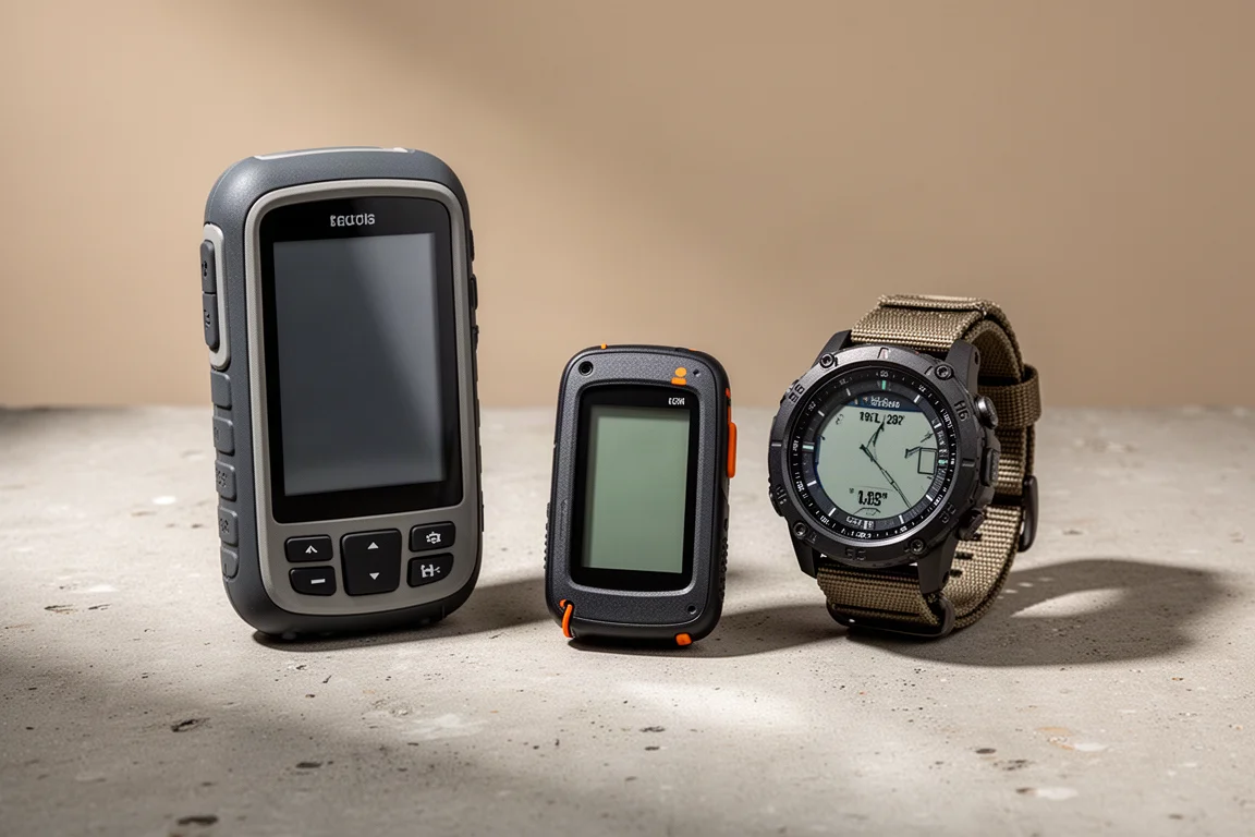
Staying found and staying in contact are two different problems, and the devices in this roundup solve them in different ways. Some are dedicated handheld mapping units built to survive bad weather and rough handling. Others are compact satellite communicators that pair with a phone. A few put the same navigation tools on your wrist.
The list below covers ten options, from full-featured handheld GPS units with satellite messaging to a subscription-free emergency beacon and a phone you may already own. Each entry focuses on what the device is genuinely good at, where it falls short, and the kind of trip it suits.
How These Devices Compare
Each option was weighed against a consistent set of questions rather than a single score.
Navigation quality comes first. Multi-band, multi-constellation positioning, preloaded topo maps with elevation data, trails, and points of interest, and a screen you can read at a glance all matter more in the field than spec sheets suggest. Screen redraw speed separates a device that feels fluid from one that feels like a tool.
Satellite capability is the second axis. Some units handle two-way messaging, weather reports, location tracking, and SOS. Others handle emergency alerting only. Subscription requirements vary just as widely, and a device with no ongoing fee can be the right answer for a particular kind of trip.
Battery life, ruggedness, and how a device behaves in rain or with gloves round out the picture. Size and weight matter too, but they are usually the price of a larger screen.
The result is a shortlist that spans very different budgets and use cases. A wallet-sized communicator and a full handheld with a large display are not competing for the same buyer, even though both can send an SOS.
Garmin GPSMAP 67 Series: A Rugged Handheld Baseline
The GPSMAP 67 Series is a dedicated handheld mapping GPS built for the outdoors. Positioning is the headline: multi-GNSS and multiband reception keeps the unit accurate to within roughly six feet in normal use, and the recorded track stays reliable even in demanding terrain such as slot canyons where signals bounce and fade.
The hardware is rugged, waterproof, and drop proof, and it is designed to be operated in the rain and with gloves on. Garmin TopoActive maps come preloaded with elevation data, points of interest, and trails, so the workflow out of the box is simple: charge it, enter a destination, and let the unit work out the route. Navigation is baked into the operating system rather than bolted on as an app.
The screen is large, which makes it easy to see the route ahead, the track behind, topo detail, and satellite imagery. The trade-offs are price and bulk. This is an expensive device and it is bigger and heavier than many handheld GPS units, though the extra size is what buys the larger display.
Garmin GPSMAP 67i: Handheld Mapping With Satellite Messaging
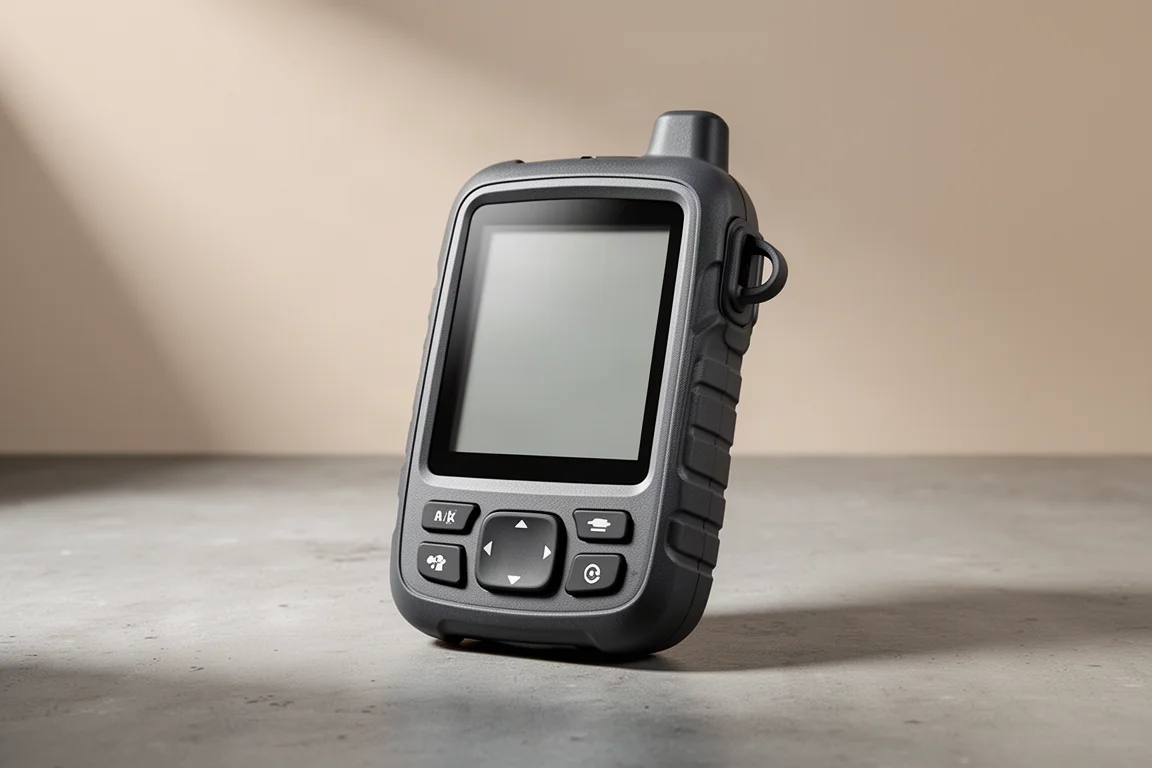
The GPSMAP 67i takes everything above and adds inReach satellite technology. That means weather forecasts, two-way messaging, and an SOS function on top of the handheld navigation. It also carries one of the higher transmit powers among the inReach models, which helps out in the outdoors.
Battery life is a clear improvement over the earlier 66i. Across repeated multi-day use, the 67i ran for roughly six and a half days depending on how it was used, which is a meaningful margin for trips where charging opportunities are scarce.
If you want a single device that handles both route-finding and emergency communication, this is the most complete option here.
Garmin inReach Mini 2: Two-Way Messaging Without the Bulk
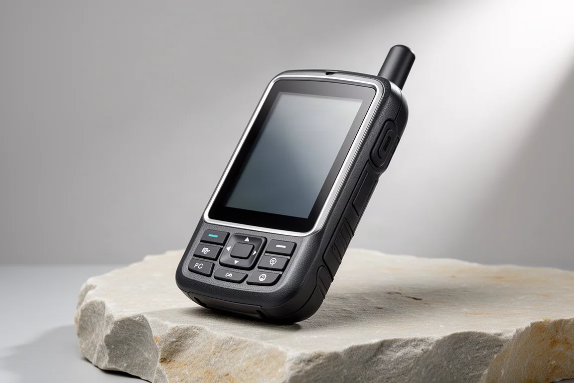
If mapping is not the priority and you mainly want to stay in contact, the inReach Mini 2 is a strong choice. It is lightweight and rugged, built for the outdoors, and straightforward to operate using physical buttons rather than a touchscreen.
It carries the full set of inReach features, including messaging, location tracking, and weather reports. Crucially, two-way messaging works without pairing to a phone, which is not true of every device in this category. It also includes basic navigation you can lean on in a pinch.
The standout is the trackback function, which retraces the route you came in on. When you drift 30 to 50 feet off course it delivers audible and visual alerts and then shows the direction back to the trail.

Those alerts are the difference between a passive breadcrumb trail and a tool that actively corrects you, and they make the Mini 2 easier to trust on unfamiliar ground.
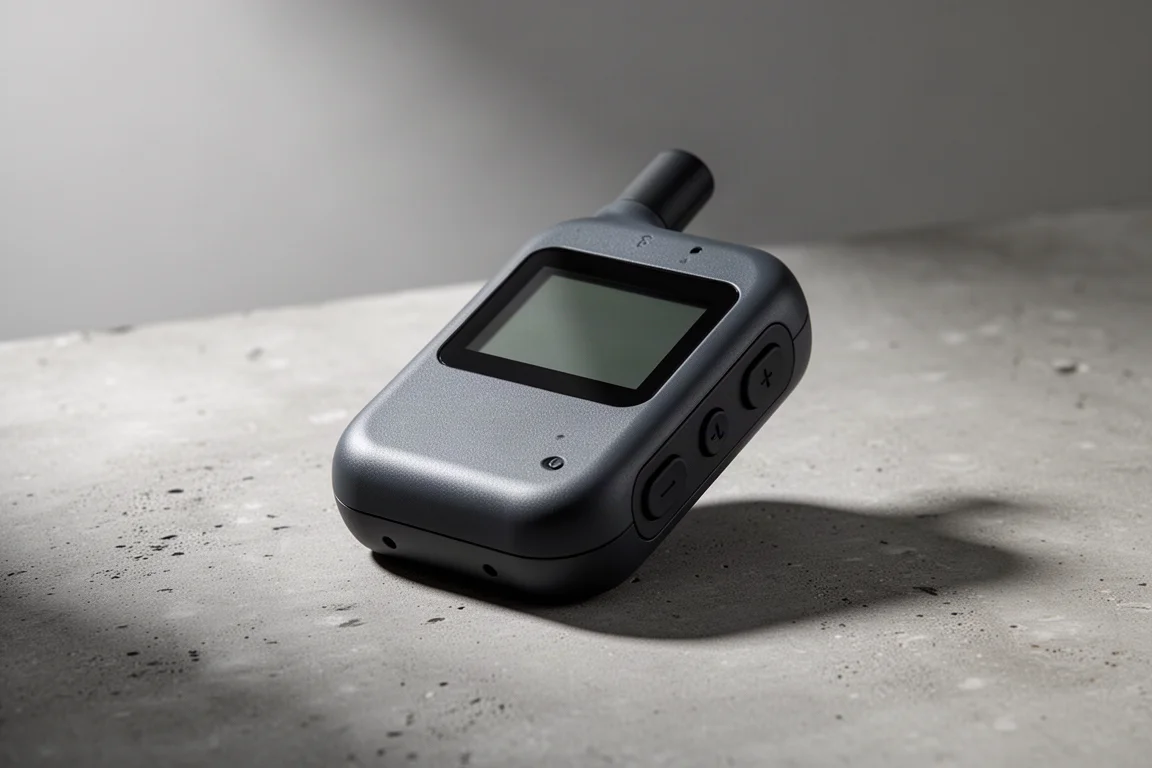
Garmin inReach Messenger: Wallet-Sized Backup Communication
The inReach Messenger is genuinely small, about the size of a wallet, and it pairs that footprint with strong battery life. It can be operated through its own screen, though that interface is less comfortable than the Mini 2 layout, so it works best when paired with a phone.
Its most useful trick is automatic network switching. The device moves between Wi-Fi, cellular, and satellite service on its own without you managing anything, which keeps messages flowing as coverage changes.
Navigation features are limited, but trackback is included and is well suited to off-roading and ATV use, where retracing a route matters more than turn-by-turn guidance.
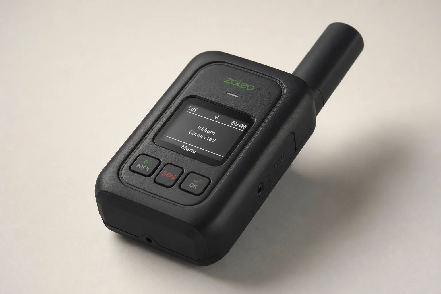
Garmin Montana 750i: Photo Waypoints and a Larger Screen
The Montana 750i is the option to consider if screen size and photo-based waypoints are appealing. It can take photos and geotag them so they become waypoints, which is a genuinely useful workflow for fishing: mark a productive spot with a photo, then navigate between marked spots with the image as a visual reference.
The display is a touchscreen and noticeably larger than the 67i, which makes it easier to read when it is mounted in a truck or on an ATV rather than held in the hand.
It is a bigger, heavier style of device than the compact communicators here, and it is aimed at people who want the screen real estate to match the navigation features.
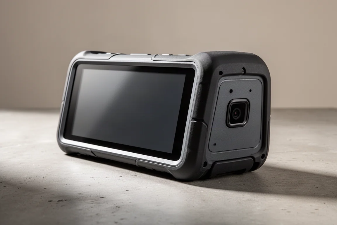
Apple iPhone 14 and 15: Capable for Fair-Weather Hikers
A phone is not a dedicated outdoor device, but the iPhone 14 and 15 are a reasonable answer for most fair-weather hikers, as long as you do not need to use them in the rain. The touchscreen generally works well in dry conditions, and panning and zooming redraw far more quickly than on any of the Garmin GPS units here.
The software side is a real advantage. Hiking apps such as AllTrails, Gaia GPS, and onX cover a wide range of trail and land-use needs, and the 14 and 15 models support emergency SOS over satellite plus location sharing at no extra cost. What the phone does not offer is non-emergency satellite messaging.
The caution is durability. A phone is not as rugged as a dedicated handheld, so a paper map as a backup is a sensible habit, and it becomes close to essential if the phone is your only navigation tool.

Weather is the second consideration. The touchscreen and the device itself are best treated as fair-weather tools, which is why pairing a phone with a rugged communicator is such a common setup.
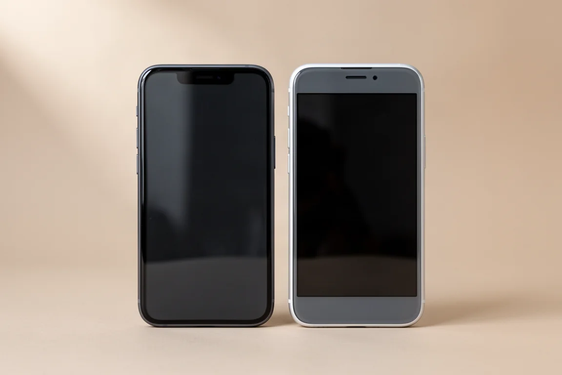
Motorola Defy Satellite Link: Affordable Non-Emergency Messaging
The Defy Satellite Link is a low-cost way to add satellite messaging to a phone that already has emergency SOS. Paired with an iPhone and the basic plan, which runs about $5 a month in the United States, you end up with two satellite communicators, two SOS systems, and the ability to send non-emergency texts from the outdoors.
That redundancy is the point. Two independent SOS paths and a messaging channel cover the gap a phone alone leaves open, and the entry cost is modest compared with a dedicated handheld.
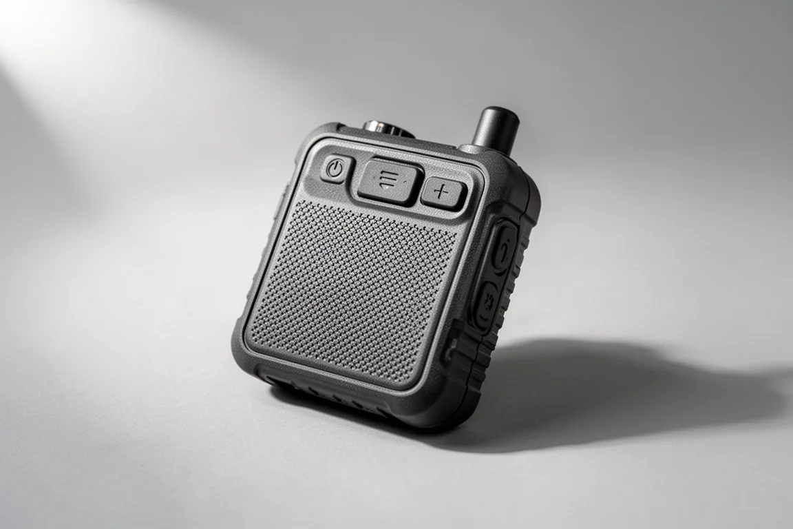
Ocean Signal rescueME PLB1: One-Way SOS With No Subscription
If an ongoing subscription is the thing you want to avoid, a Personal Locator Beacon is the alternative. The rescueME PLB1 requires no subscription at all.
The trade-off is that it is a one-way device. You press the SOS button and a signal goes out over satellite, telling emergency services your GPS position and that you need assistance. There is no messaging, no weather, and no confirmation coming back.
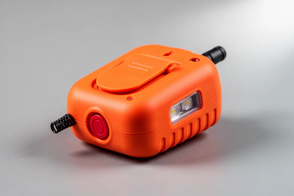
Garmin epix Pro 51mm: Handheld-Class GPS on the Wrist
A satellite communicator in watch form does not exist yet, but adventure watches now do most of what a handheld GPS can do. The epix Pro 51mm is the strongest example here. Its GPS performance tracks closely with a handheld unit, and it delivers around 60 hours of activity tracking, which works out to roughly one charge a week for regular use.
TopoActive maps for the whole continent come preloaded, complete with trail data, and different navigation modes are integrated into the operating system. The AMOLED screen is colourful and bright enough to show map detail clearly, though it is not quite at the level of an Apple Watch. During an activity such as hiking, running, or biking, map redraws happen without you noticing. Panning around on the watch face while stationary produces more visible redraws.
The build is rugged and intended for all-weather use, and you can operate it with buttons only, with the touchscreen, or lock the touchscreen to avoid accidental input. The main drawback is price, which is high even by adventure watch standards.
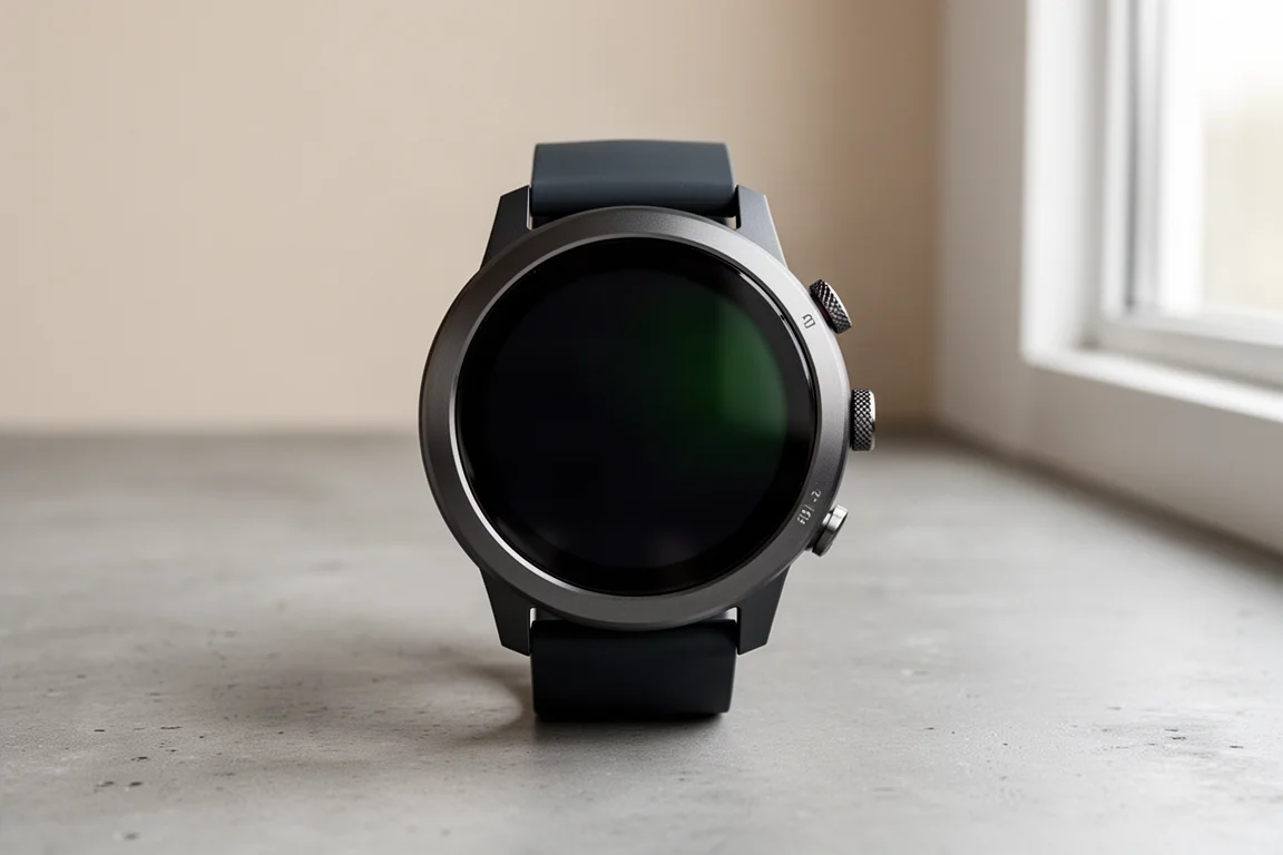
Garmin Fenix 7X Sapphire Solar: Solar Top-Ups and Long Battery Life
The Fenix 7X Sapphire Solar is the battery-focused alternative. It runs for around 28 days and recharges from sunlight when it is worn outdoors, which reduces how often you need to think about charging at all.
The screen is less brilliant than some other Garmin adventure watches, and a brighter panel would be welcome, but the feature set is broad. There is a touchscreen, and courses created for inReach devices can be followed on the watch, so the same route shows up on the watch, on the communicator, and on the phone.
It is a large watch, which is worth noting if you usually prefer something compact. That said, the combination of size and battery life makes it easy to leave on.
Buying Advice: Matching the Device to the Trip
Start with the question you actually need answered. If it is route-finding in rough terrain, a dedicated handheld with preloaded topo maps and multiband positioning will outperform everything else here. If it is staying in contact with people at home and being able to call for help, a compact satellite communicator paired with your phone is lighter and less expensive.
Subscription policy deserves as much attention as hardware. A Personal Locator Beacon costs nothing to keep active but only sends an emergency alert. inReach devices support two-way messaging, tracking, and weather, which is why they carry ongoing plans.
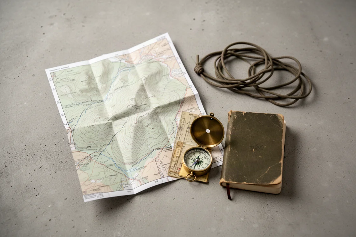
Redundancy is worth building in. A phone with satellite SOS plus a low-cost satellite link gives you two independent SOS paths and non-emergency messaging. A phone plus a paper map covers the case where a device fails or the battery dies.
Finally, think about where the device will live. A watch that stays on your wrist is always with you, a handheld that mounts on an ATV is easier to read, and a wallet-sized communicator is the one you will actually carry.

None of these choices are mutually exclusive, and plenty of people end up with a watch for everyday navigation plus a communicator for trips beyond coverage. Deciding which single problem matters most on your next trip is the fastest way to narrow the list.
Conclusion
The right device depends on whether you need maps, messaging, or both. The GPSMAP 67i covers the most ground in one unit, the inReach Mini 2 and inReach Messenger handle communication in a fraction of the size, the Montana 750i trades portability for a larger screen, and the iPhone 14 and 15 remain a capable starting point for fair-weather hiking. For subscription-free emergency alerting, the rescueME PLB1 is the straightforward answer, while the epix Pro 51mm and Fenix 7X Sapphire Solar bring handheld-class navigation to the wrist.
Further reading
Related Reviews
Outdoor Navigation
Natural Atlas Review: Trail-Accurate Navigation for Hikers
Natural Atlas measures distance along real trails rather than straight lines, and pairs that with offline maps, tide predictions, and printable paper maps.
Outdoor Navigation
Best Satellite Communicators and Outdoor GPS Devices 2026
A practical guide to handheld GPS units, satellite messengers, beacons and outdoor watches, with the real strengths and trade-offs of each option.
Outdoor Navigation
Caltopo vs AllTrails Plus: Which Outdoor Planning Tool Fits Your Hike?
A practical comparison of two outdoor planning tools: Caltopo for detailed trip planning and terrain data, and AllTrails Plus for simple trail discovery and navigation.