Backcountry Safety
Best Backcountry Safety Tools: Garmin inReach, onX Backcountry, and iPhone Satellite SOS
A practical comparison of four backcountry safety tools: a two-way satellite communicator, an offline navigation app, and two iPhones with satellite emergency calling.
Introduction
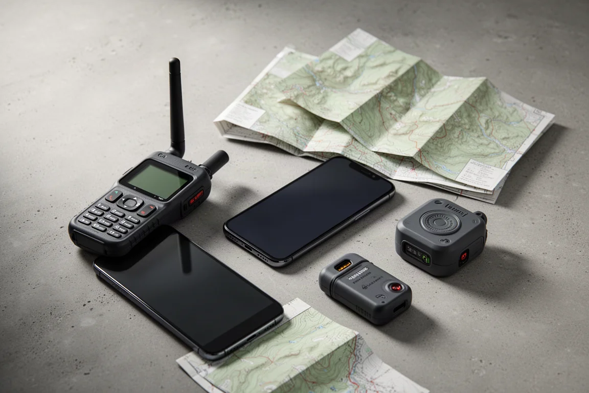
A big mountain day can turn quickly, and the difference between a rescue and a recovery often comes down to whether you can get a message out. The tools that make that possible have converged in a way that was not true a few years ago. A dedicated satellite communicator, an offline navigation app, and a recent iPhone with satellite emergency calling now cover much of the same ground, with real differences in cost, communication, and effort.

This guide looks at four options that between them cover the realistic range of backcountry needs: a two-way satellite communicator, an offline navigation app, and two iPhone models that can reach emergency services over satellite. Most people end up combining two of them, and that combination is usually where the value sits.
How to Choose Backcountry Safety Gear
The first question is what kind of communication you actually need. A dedicated satellite communicator supports two-way messaging and scheduled location sharing, which means family can follow your progress and you can send and receive check-in messages. Satellite SOS on a recent iPhone is built for emergencies: it reaches emergency services rather than a family member’s phone, and it cannot send a personal text.
The second question is the cost structure. A dedicated communicator carries a device price plus a subscription, while satellite SOS on an iPhone 14 or newer does not require a separate subscription. Navigation sits outside both of those decisions. An offline map and tracking app is about knowing where you are, how far you have gone, and how to retrace your steps, not about calling for help.
The third question is conditions and battery life. Cold, wind, and long days all reduce usable runtime, and steep terrain can block your view of the sky, so it helps to know how each tool behaves when the weather turns.
Garmin inReach
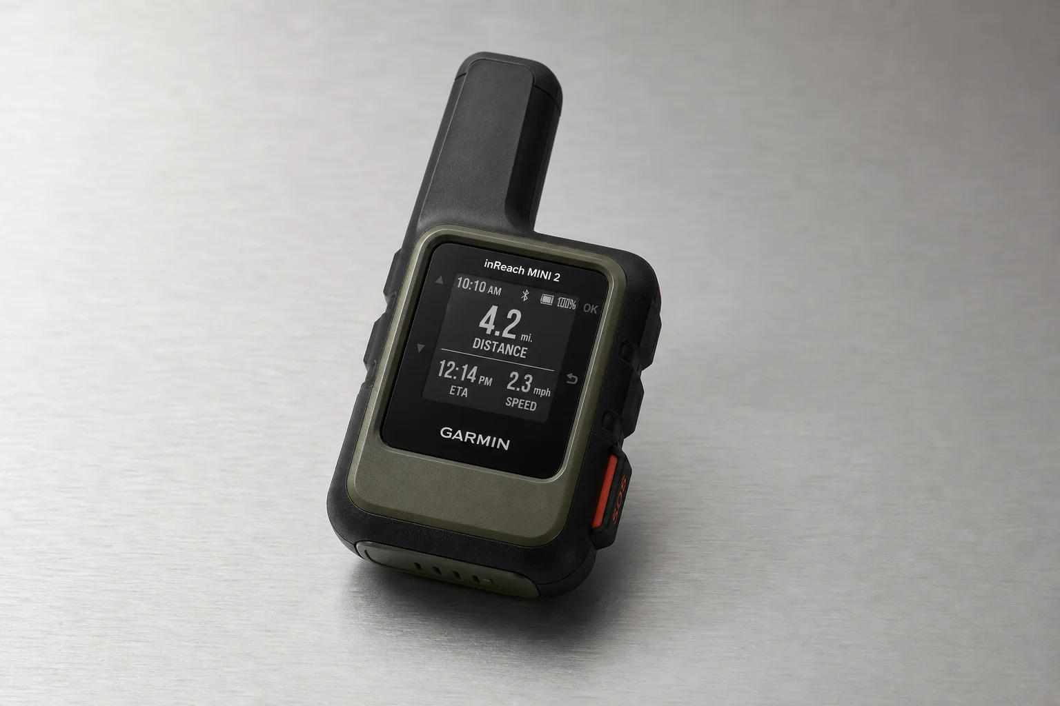
The Garmin inReach is the most complete option in this group. It is a two-way satellite communicator that costs around $350 before any subscription, and the plan you choose determines what it can do.
The middle plan, sometimes called the recreation plan, adds location sharing. With it you can set the device to send a satellite position ping on a fixed interval, for example every ten minutes, and that position appears on a shareable map page online. Friends and family can follow along, actively ping your location, and send you messages through that same page. A more expensive plan shortens the interval to around two minutes, which is rarely necessary.
Most inReach units also include an Auto Track setting that starts sending those position pings whenever the unit is powered on, so nothing has to be remembered mid-hike. It draws the battery down marginally, but most units still last at least a long day hike and often multiple days. The real value of interval tracking is that it keeps working even if you are unconscious or unable to press the SOS button, giving searchers an approximate record of where you have been.
Plan pricing is where the running cost appears. The middle plan runs about $25 per month on an annual contract, against roughly $12 to $13 per month for the base plan. For occasional users, the device can also be rented rather than bought.

If your main concern is being found when you cannot press a button yourself, that automatic tracking interval is the feature worth paying for.
onX Backcountry
onX Backcountry is the navigation half of the equation, and it runs on a phone you already own. The subscription costs about $20 for the year.
The feature that matters most is the tracker. At a trailhead you open it, start tracking, and then leave the phone in airplane mode. It records your route accurately, showing how far you have gone and your pace along the way, and once you are back in data coverage the activity syncs to your homepage. If you lose the trail, that record is what lets you turn around and follow your own line back.
Offline maps are the other half of the appeal. You draw a box around the hike you have planned and download that area to the phone before you leave, so the map is there when there is no signal at all. Because it is an app, it is not tied to a particular device and will work on essentially any phone.
iPhone 14
The iPhone 14 brought Emergency SOS via satellite to the iPhone, and it works on a similar principle to a dedicated communicator. It uses a low earth orbit satellite network, and you have to point the phone at the satellite to get the message out. Tested in box canyons in Nevada, it worked well.
The important distinction is scope. Satellite SOS on the iPhone is for emergencies only. You can reach emergency services, but you cannot send a text to your partner. If you do not want to pay for a subscription, that emergency capability is included with the phone.
Above and beyond SOS, the Find My app can share your location over satellite. It is not automatic the way interval tracking on a communicator is. You set it up in advance, invite the people you want connected to you through your family sharing group, and then, once you are out of cell range, open the app and choose to share via satellite. That button updates your position on the map. It is a manual step, but it turns an emergency-only device into something closer to basic location tracking.

For a hiker who wants a safety net on a phone they already carry, that combination covers a lot of ground without adding a subscription.
iPhone 15
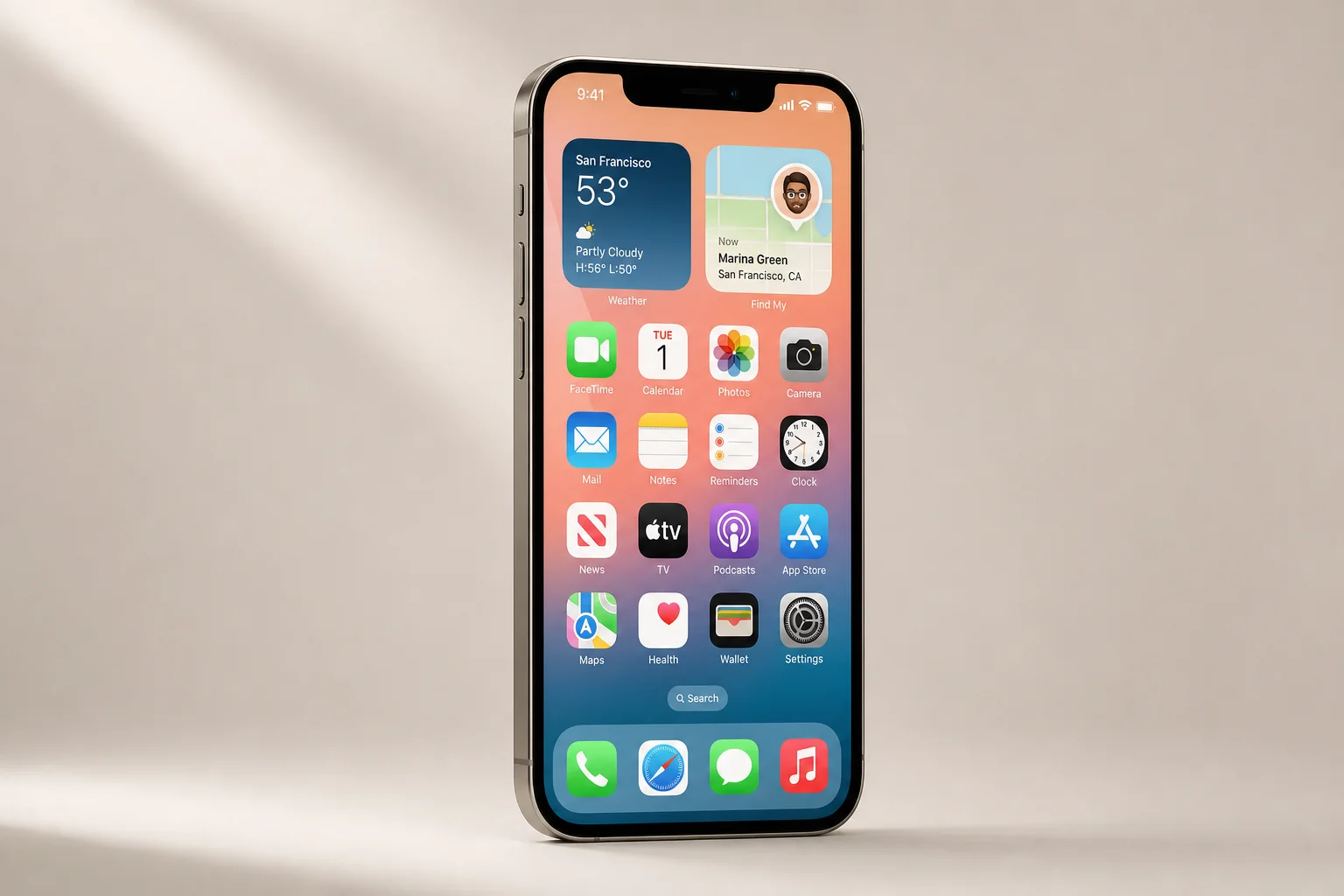
The iPhone 15 carries the same satellite emergency capability as the 14. The same limits apply: satellite SOS reaches emergency services and cannot send personal texts, and satellite location sharing runs through the Find My app with the same advance setup and the same manual share step once you are out of cell range.
For anyone deciding between the two models, the satellite features are not the difference. If you are already an iPhone user and you travel beyond cell coverage, moving to a satellite-capable model is the point at which this capability becomes available without an additional subscription.
Buying Advice: Matching the Tool to the Trip
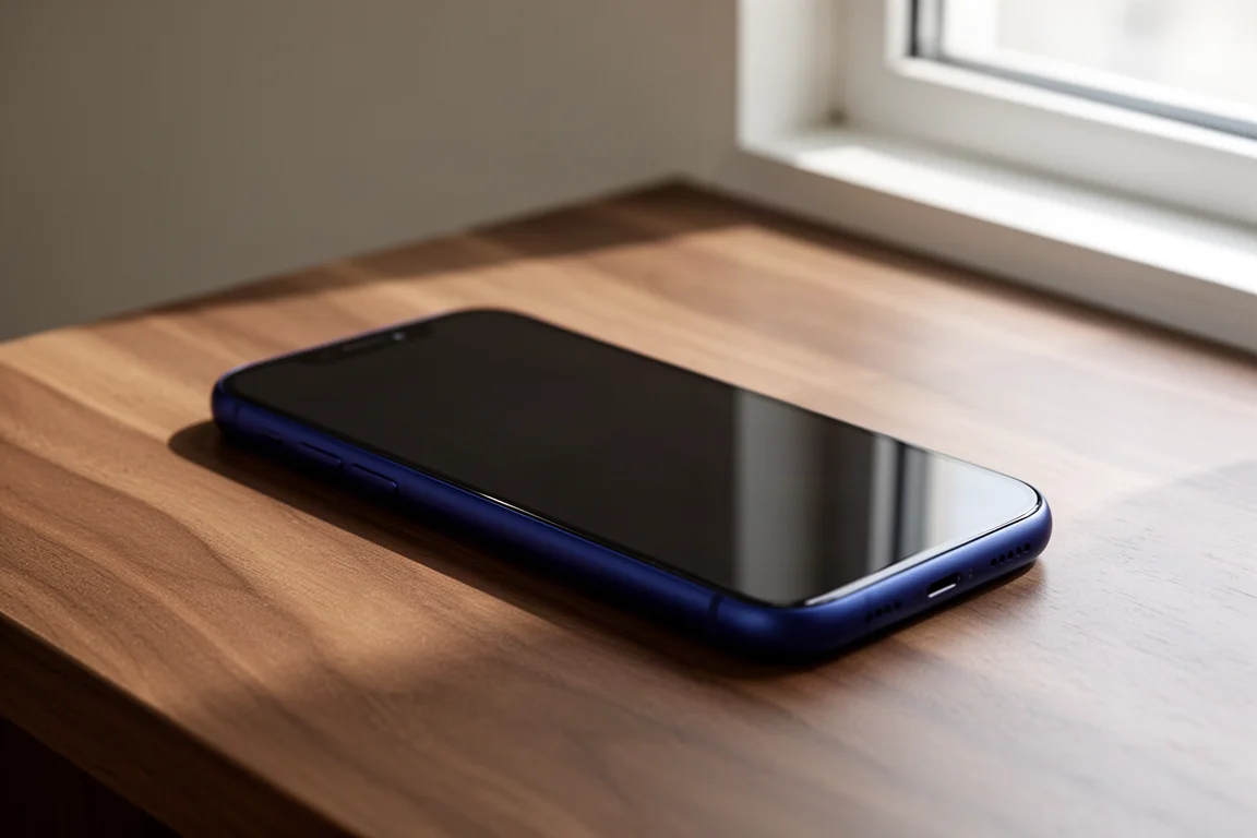
The least expensive complete setup is the one built around a phone you already own. If you carry an iPhone 14 or newer, onX Backcountry adds offline navigation and tracking for the price of the annual app subscription, and the Find My app layers satellite location sharing on top of the built-in emergency SOS. The one thing missing from that combination is two-way messaging.
A dedicated satellite communicator fills exactly that gap. If you want to exchange messages with family, or you want interval tracking that runs automatically without you doing anything, the Garmin inReach is the more complete tool, at the cost of the device plus a monthly plan.
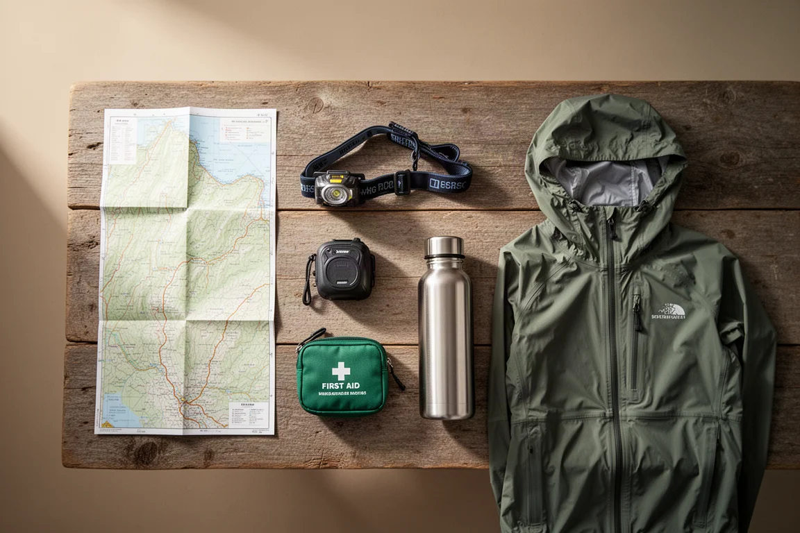
For trips where a subscription does not make sense, it is worth knowing about a third category: the personal locator beacon. A PLB is a one-way satellite beacon rather than a two-way communicator. You press the button and responders are given your position. These units are built ruggedly, run through government and military satellite systems, have batteries that last for years, and work around the world. They cost a few hundred dollars, with purchase prices around $350, and they can be rented for short trips at roughly $7 per day. The trade-off is that a PLB cannot send or receive messages, and it cannot share your location with family along the way. For most people the practical answer is a layered one: navigation from an app, emergency alerting from a phone or a beacon, and two-way messaging from a communicator only when the trips justify the subscription.
Conclusion
These tools overlap, but they do not replace each other. Satellite SOS on a recent iPhone is an emergency channel with no separate subscription, offline navigation from onX Backcountry tells you where you are and where you have been, and a dedicated communicator adds two-way messaging and automatic tracking intervals that family can follow. Match the setup to the trips you actually take, then carry the version of it you will keep powered and within reach.
Further reading
Related Reviews
Backcountry Safety
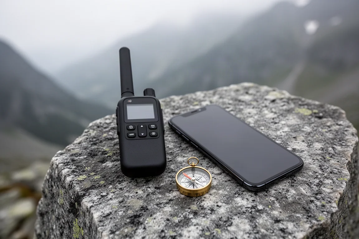
Backcountry Safety in 2026: Satellite SOS on iPhone, Garmin inReach, and onX Backcountry
How to combine a recent iPhone, a Garmin inReach, and the onX Backcountry app into a backcountry safety setup that fits the way you actually travel.
Backpacking Gear
Building a 10 lb Base Weight: An Ultralight Backpacking Gear List
A practical walkthrough of the ultralight pieces behind a 10 lb base weight, from a 765 g pack and a roomy one-person tent to a full camp chair and a dependable water filter.

Road Bikes
10 New Road Bikes Worth Watching: Aero, Titanium, Steel and Endurance Standouts
A practical roundup of 10 new road bikes, from aero flagships chasing single-watt gains to titanium, steel and endurance platforms built for real roads.