Backcountry Safety
Backcountry Safety in 2026: Satellite SOS on iPhone, Garmin inReach, and onX Backcountry
How to combine a recent iPhone, a Garmin inReach, and the onX Backcountry app into a backcountry safety setup that fits the way you actually travel.
Introduction
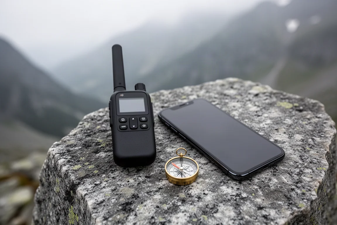
Your phone can do more in the backcountry than most people expect. Recent iPhones can reach a satellite when there is no cell coverage at all, and that changes how much work a dedicated communicator is really doing for you. It does not make satellite communicators obsolete, but the gap is narrower than it used to be.
The stakes are easy to underestimate. In a record snow year on the West Coast, a popular Southern California peak saw a run of incidents involving people who were prepared for a summer trail rather than a winter mountain. One hiker who went missing was not carrying any kind of emergency beacon. A beacon would not have changed the conditions, but it would have changed how quickly people knew something was wrong.
This guide covers the four tools that matter most for that problem: the iPhone 14 and iPhone 15 with Emergency SOS via satellite, the Garmin inReach, and the onX Backcountry navigation app.
What Matters Most in a Backcountry Safety Setup
Three capabilities do most of the work.
The first is reaching help when there is no cell signal. The second is being tracked without having to press anything, which matters if you are injured or unable to act. The third is knowing where you are and where you have been, because many incidents begin as a navigation problem rather than an injury.
Cost structure separates these tools as much as capability does. Some are a one-time purchase, some carry a monthly plan, and one is effectively free if you already own the hardware.

The practical goal is to cover all three layers: emergency contact, passive tracking, and navigation. That combination does not have to be expensive, and in most cases it costs less than a single dedicated communicator plus its subscription.
Apple iPhone 14: Satellite SOS Without a Subscription
The iPhone 14 includes Emergency SOS via satellite. It runs over a low earth orbit satellite network, similar in principle to what dedicated communicators use, and it asks for one short manoeuvre: you point the phone toward the satellite and follow the guidance on screen.
That aiming step is the main difference from a purpose-built communicator, and it is not a difficult one. The feature has been tested extensively in narrow box canyons in Nevada and performed well, which is a meaningful result because canyons are exactly where a clear view of the sky is hardest to find.
The important part for buyers is the cost structure. Emergency SOS via satellite does not require a subscription. If you already carry an iPhone 14, the emergency layer of your setup is already in your pocket.
Apple iPhone 15: The Same Satellite SOS on Newer Hardware
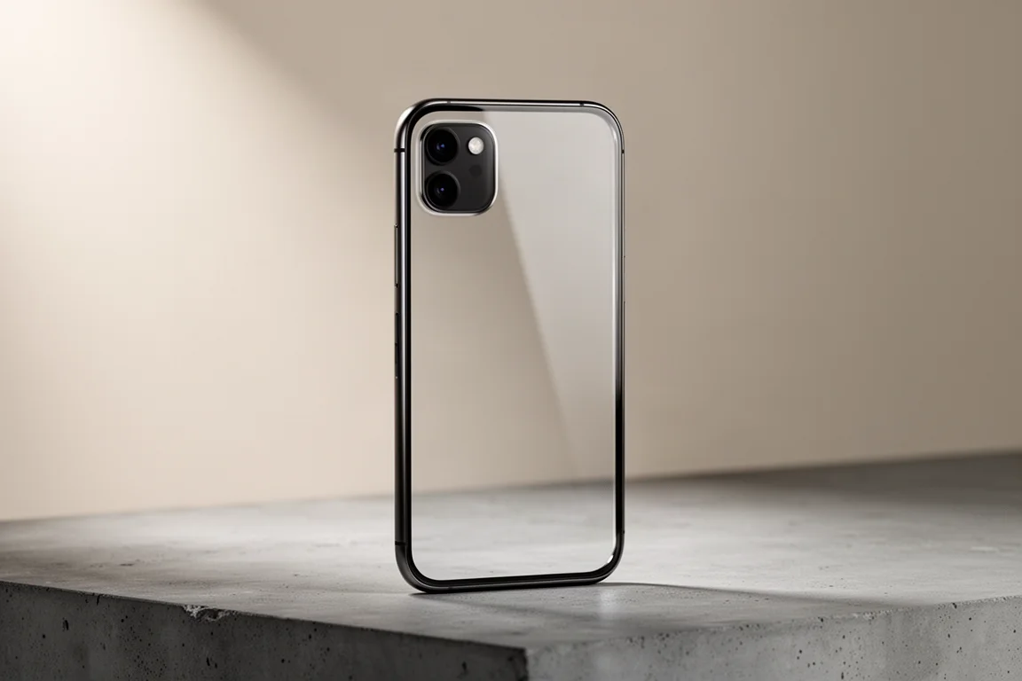
The iPhone 15 carries the same Emergency SOS via satellite capability, so anyone upgrading from an older phone picks up the emergency channel as part of the move.
There is a second satellite feature worth arranging before you leave. Through the Find My app you can share your location with family over satellite once you are outside cell range. It is not automatic the way a dedicated communicator is, but it covers similar ground: someone at home can see roughly where you are.
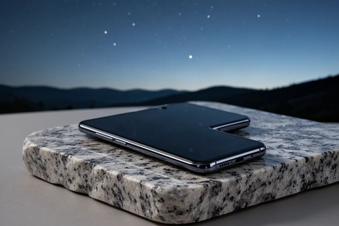
The limitations are worth being clear about. Over satellite the phone communicates with emergency services, so you cannot send an ordinary text message to a partner or a friend the way you can with a two-way communicator. Location sharing also has to be set up in advance, with an invitation accepted before you leave, because the connection only becomes useful once you are already out of coverage.
Garmin inReach: Two-Way Messaging and Interval Tracking
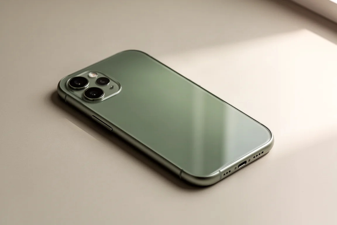
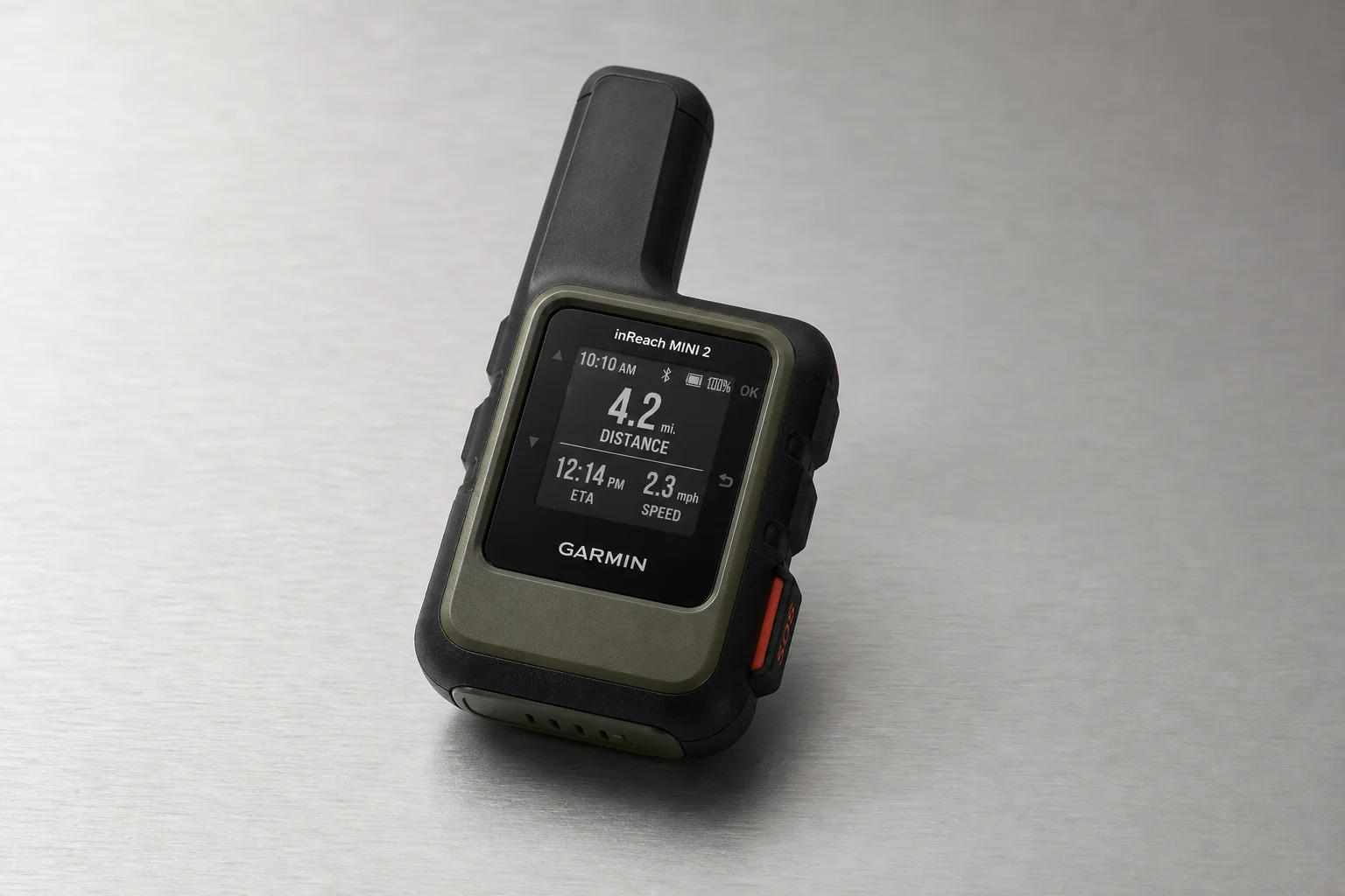
The Garmin inReach is the tool that does what the phone cannot: two-way messaging and tracking that runs on its own.
On the middle subscription tier, the device can send a location ping every ten minutes, building a breadcrumb trail that family and friends can follow on a shareable map page. The most expensive tier shortens that interval to two minutes, which is rarely necessary. There is also an auto track setting on most inReach units that starts sending pings as soon as the device is switched on, so you do not have to remember to begin anything.
Battery life holds up well. Most inReach devices last at least a long day hike, and often several days, with tracking running. Interval tracking does draw the battery down, but only marginally.
The trade-off is the plan. The device itself is around $350, and the tracking and messaging features sit behind a subscription, with the middle plan running about $25 a month on an annual commitment and costing more than the base plan. The MapShare page is part of that: the people you nominate can check your position, request a fresh location ping, and send messages back to you.
onX Backcountry: Navigation, Tracking, and Offline Maps
onX Backcountry is a backcountry navigation app, and its tracker is the feature that earns it a place in a safety kit. Start it at the trailhead, leave the phone in airplane mode, and it records your route accurately, along with distance travelled and pace. If you do get turned around, that record is often the fastest way back to the trail.
Offline maps are handled well. You can draw a box around the hike you have planned and download that area to the phone, so the map is available with no signal at all. When you do regain data, saved tracks sync back to the app homepage, which gives you a second record of where you have been.
At roughly $20 for a year and with support for most phones, it is the lowest-cost piece of a serious setup.
What You Give Up Without a Satellite Communicator
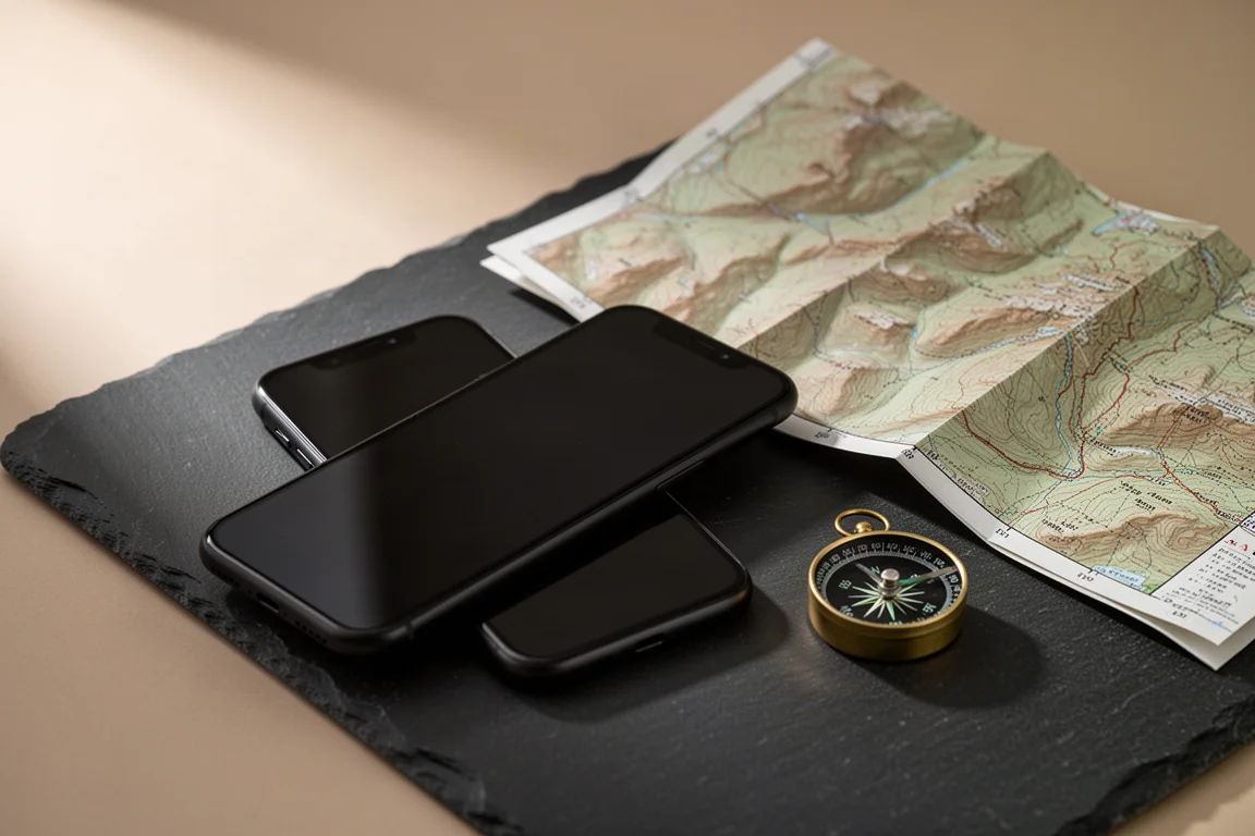
Combining a satellite-capable iPhone with onX Backcountry covers navigation, emergency contact, and manual location sharing. Two things are still missing.
The first is automatic interval tracking. With the phone you share your position when you choose to, so nobody is following along in the background while you move. The second is two-way conversation, since satellite messages from the phone go to emergency services rather than to your family.
If you are not on an iPhone 14 or newer, or you simply want to avoid a subscription, a personal locator beacon is the other route. These rugged one-way beacons cost a few hundred dollars, can often be rented by the day, work around the world, and their batteries last for years. They call for help and nothing more, which for plenty of trips is enough.
Overall Buying Advice
If you already carry an iPhone 14 or newer, start with the free layer. Set up location sharing in the Find My app before your trip, and add onX Backcountry for navigation and offline maps. That combination costs roughly $20 a year and covers emergency contact, navigation, and manual position sharing.

Add a Garmin inReach when you want the two features the phone cannot provide: interval tracking that runs by itself and two-way messaging with the people at home. That matters most on solo trips, multi-day routes, and anything remote enough that someone checking a map page is part of your safety plan.
If you only go out once or twice a year, renting is a legitimate option. Satellite communicators and personal locator beacons can both be rented, which avoids paying for a subscription you will not use for eleven months of the year.
Conclusion
The gap between a phone and a satellite communicator has narrowed to two specific features: automatic tracking and two-way messaging. If you can live without both, an iPhone 14 or iPhone 15 paired with onX Backcountry gives you a genuinely capable backcountry safety setup for very little money. If you cannot, the Garmin inReach remains the tool that fills those gaps.
Further reading
Related Reviews
Backcountry Safety
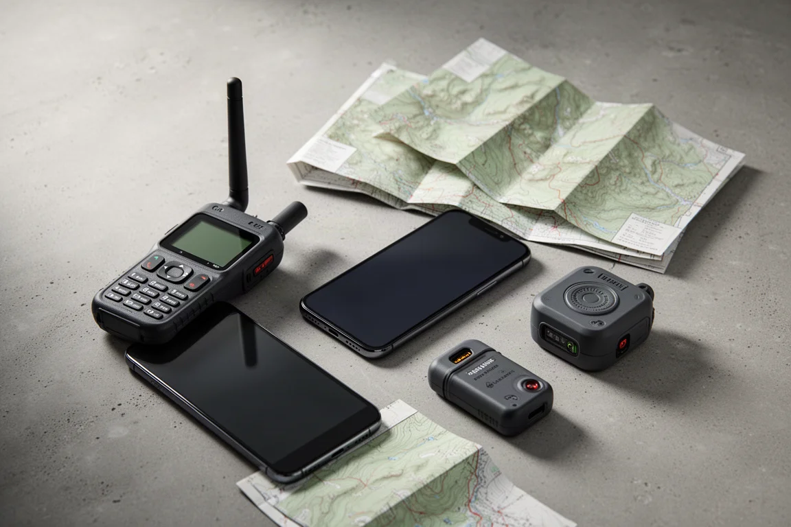
Best Backcountry Safety Tools: Garmin inReach, onX Backcountry, and iPhone Satellite SOS
A practical comparison of four backcountry safety tools: a two-way satellite communicator, an offline navigation app, and two iPhones with satellite emergency calling.
Insulated Jackets
Aerogel vs Down Insulation: Two Aerogel Jackets Compared
Aerogel is the lightest solid on record, but two aerogel jackets measured against a comparable down jacket tell a more complicated story about warmth.
Power Banks
Anker 737 PowerCore 24K Review: Fast Charging in a Simple Package
A 140W portable power bank with a 52-minute recharge time, a health-tracking display, and a three-port layout that skips the app entirely.