Satellite Communicators
T-Satellite vs Garmin inReach: Which Satellite Companion Belongs in Your Pack?
A practical look at phone-based satellite messaging and a dedicated satellite communicator, and how to decide which one to carry beyond cell coverage.
Introduction
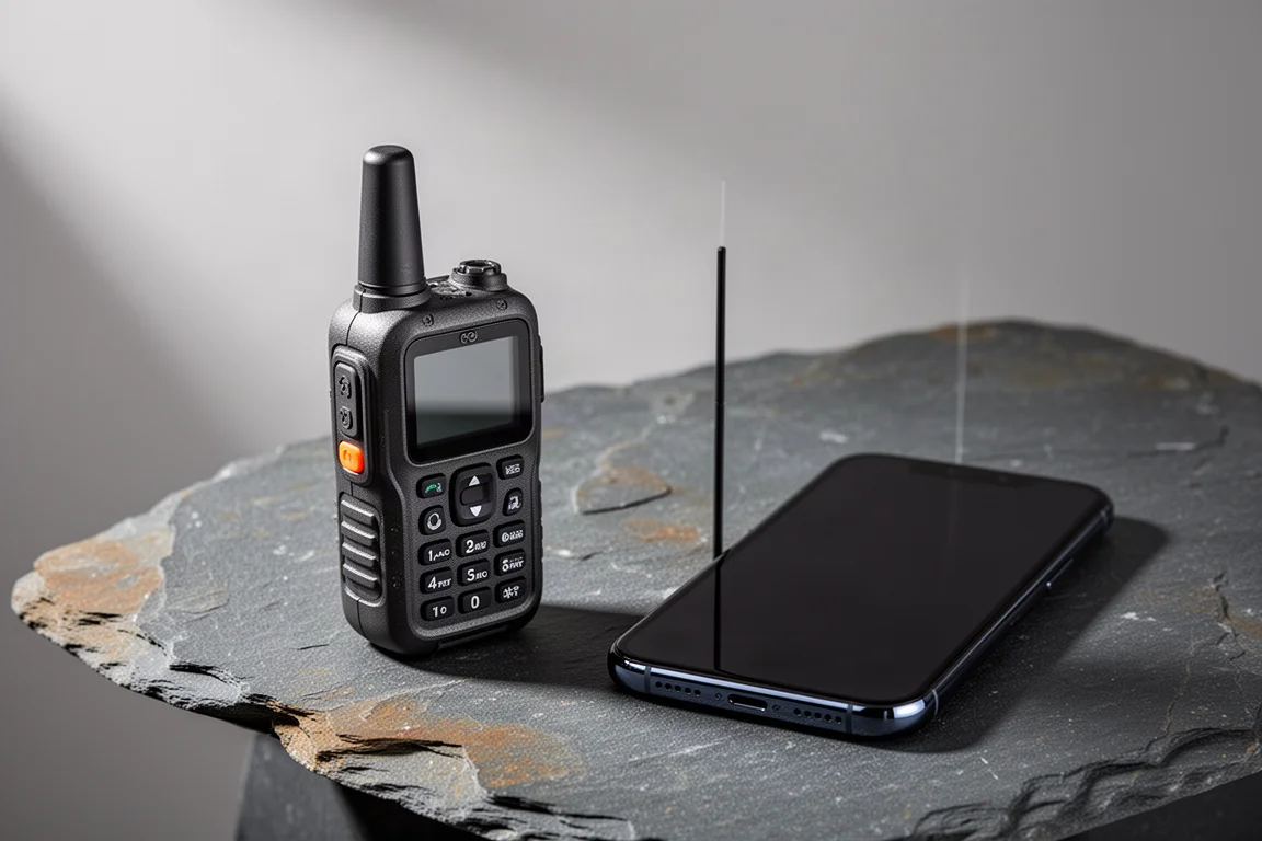
Satellite communication used to mean a separate, purpose-built device in your pack. That is changing. T-Satellite turns an ordinary smartphone into a satellite-connected handset that can send messages, place voice calls, and even attempt video calls where there is no cell coverage. Garmin inReach takes the opposite approach: a dedicated, rugged communicator with an SOS button, long battery life, and a reputation for simply working.
Both are genuinely useful, and they are not interchangeable. One leans on convenience and app integration. The other leans on reliability when it matters most. Understanding where each is strong makes the decision much easier.
How to Judge a Satellite Companion
Before comparing features, it helps to separate the things that actually matter in the backcountry. Connection reliability comes first, because a satellite link that drops out is worse than no link at all when you are counting on it. Battery cost is next, since satellite radios work hard to hold a signal and can drain a phone quickly. Emergency signalling matters too, and so does app support, because maps, weather, and location sharing are what turn a connection into something useful.

It is also worth thinking about redundancy. Many travellers now carry more than one way to reach the outside world, and the value of each option depends on what it does when the primary one fails.
T-Satellite: Satellite Messaging, Calls, and Maps
T-Satellite is the more ambitious of the two. Over a satellite connection it supports chat inside WhatsApp, voice calls, and even video calls. Voice quality holds up well enough to carry a normal conversation. Video does connect, but the picture freezes and stutters, which is a fair reflection of the bandwidth available.
The app story is where T-Satellite becomes genuinely interesting. In CalTopo, map tiles can be loaded over the satellite data connection. It is slow, but it works, which means fresh maps are available as you move. Track sharing updates almost in real time for anyone following along at home. AllTrails offers a similar Live Share feature that shares your position and can send a text message if you do not arrive when expected. AccuWeather and other apps can pull data over the same link.
Where T-Satellite Falls Short
The main weakness is consistency. The phone will often report that it is connected to satellite service with a constellation overhead, yet data does not always make it through. That uncertainty is manageable for casual messaging and map updates, but it is harder to accept when the connection is meant to be your safety net.
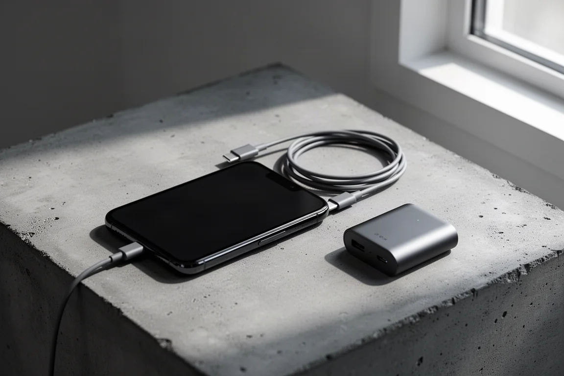
Battery life is the second trade-off. Constantly searching for and reconnecting to satellites takes a real toll, and a phone running on satellite will not last as long as it would on cellular or in airplane mode. Extended use calls for a backup power source.
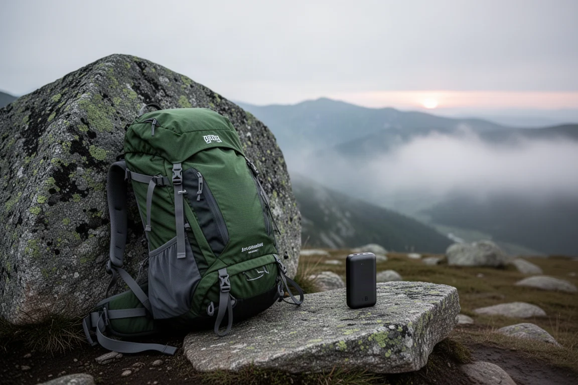
None of this makes T-Satellite a bad tool. It makes it a tool that rewards planning: charge fully, carry spare power, and do not treat the satellite link as guaranteed.
Garmin inReach: Built for the Backcountry
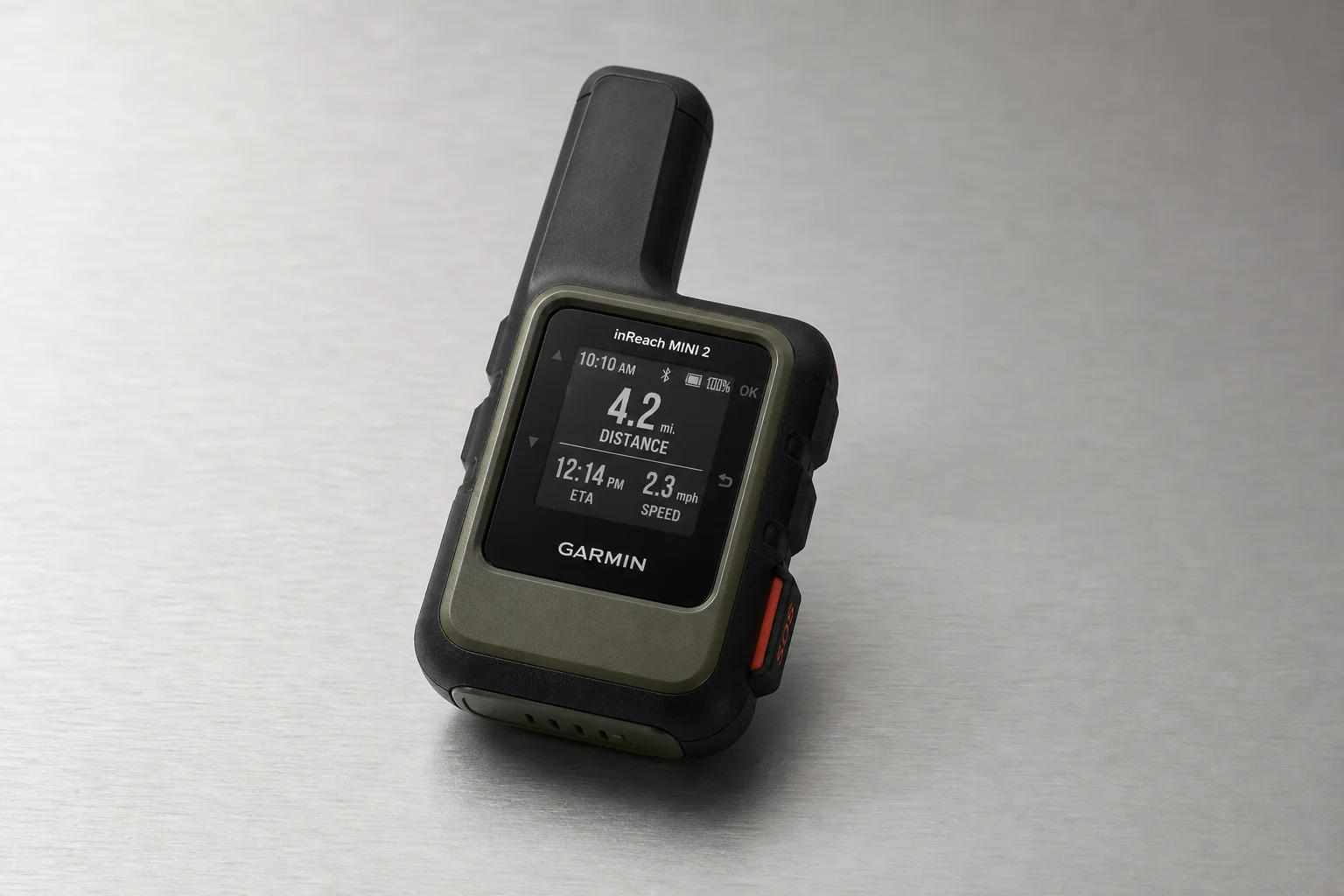
Garmin inReach is the opposite philosophy. It is a dedicated communicator designed for the outdoors, with an SOS button, long battery life, and a connection that has proven markedly more stable than phone-based satellite in the same conditions. It is not flawless, and there are moments when a message will not go through, but the overall reliability is on another level.
That reliability is the reason it stays in the pack on every trip rather than only on ambitious ones.
Redundancy in the Real World
The practical answer for many backcountry users is not choosing between the two but combining them. Keeping an inReach active on the cheapest enabled plan provides a dependable SOS option. Everyday, non-emergency messages can then go out over T-Satellite, which keeps costs sensible while preserving the emergency channel. A modern smartphone’s own native satellite capability adds a third layer.
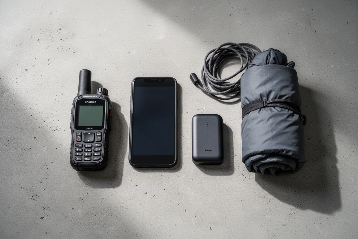
That redundancy pays off in situations beyond personal emergencies, such as helping another hiker who needs assistance on the trail.
Plans and Everyday Carry
Cost discipline matters here. The inReach is carried on the cheapest enabled plan, which covers SOS, while routine communication is routed through the phone-based satellite option. Anyone relying on T-Satellite for an extended period should carry a backup battery, since the connection overhead is heavy on a phone’s charge.
Who Should Carry Which
For frequent backcountry travellers, a dedicated communicator remains the sensible default. The inReach is built for the outdoors, its battery lasts, and its SOS button is exactly the kind of feature you want to be boring and dependable.
For a casual hiker who mostly stays within cell coverage on local trails and only occasionally ventures further, T-Satellite can be enough, provided the limitations are understood. Add a backup battery, expect some inconsistency, and treat it as a convenience rather than a guaranteed lifeline.

Many people will end up in the middle: a dedicated communicator for emergencies, and a phone-based satellite service for everything else.
Conclusion
T-Satellite shows where satellite communication is heading. Messaging, voice, video, and live map data from an ordinary smartphone is a remarkable capability, and the app integration is genuinely useful. Its reliability and battery demands are the price of that ambition.
Garmin inReach answers a narrower question and answers it well. If the goal is a dependable SOS option and stable messaging in remote places, it remains the safer choice. Used together, they cover both the everyday and the emergency case, which is why that combination is likely to stay common for some time.
Further reading
Related Reviews
Satellite Communicators
Garmin inReach Messenger vs inReach Mini 2: Which Satellite Communicator Belongs in Your Pack
A practical comparison of two compact Garmin satellite communicators, covering navigation, screen size, battery life, reverse charging and price.
Satellite Communicators
Garmin inReach Messenger vs Zoleo: Which Satellite Communicator Is Right for You?
A practical comparison of two satellite communicators, covering price, battery life, messaging, apps, satellite coverage, and standalone SOS use.
Satellite Communicators
Garmin inReach Mini 2 vs inReach Mini: Is the Newer Satellite Communicator Worth It?
A practical comparison of the Garmin inReach Mini 2 and the original inReach Mini, covering battery life, USB-C charging, navigation, app support, and upgrade advice.