GPS Devices
GPS Track Accuracy on a Grand Canyon Hike: Six Devices Compared
Six GPS devices recorded the same climb up the South Kaibab Trail, from Skeleton Point to the canyon rim. Here is how their tracks and distance totals compared.
Introduction
Most GPS comparisons happen on open ground, where almost every device looks competent. Steep canyon switchbacks are a much harder test. One climb up the South Kaibab Trail in the Grand Canyon, starting near Skeleton Point at the bottom of the canyon and finishing at the top of the wall, put six devices on the same route at the same time. The trail passes O’Neill Butte and Cedar Ridge before reaching the section known as the Corkscrew, a run of switchbacks that climbs directly up the cliff face.
The goal was straightforward: record the same hike with each device, then compare the resulting tracks and the distance totals they produced.
How the Test Was Run
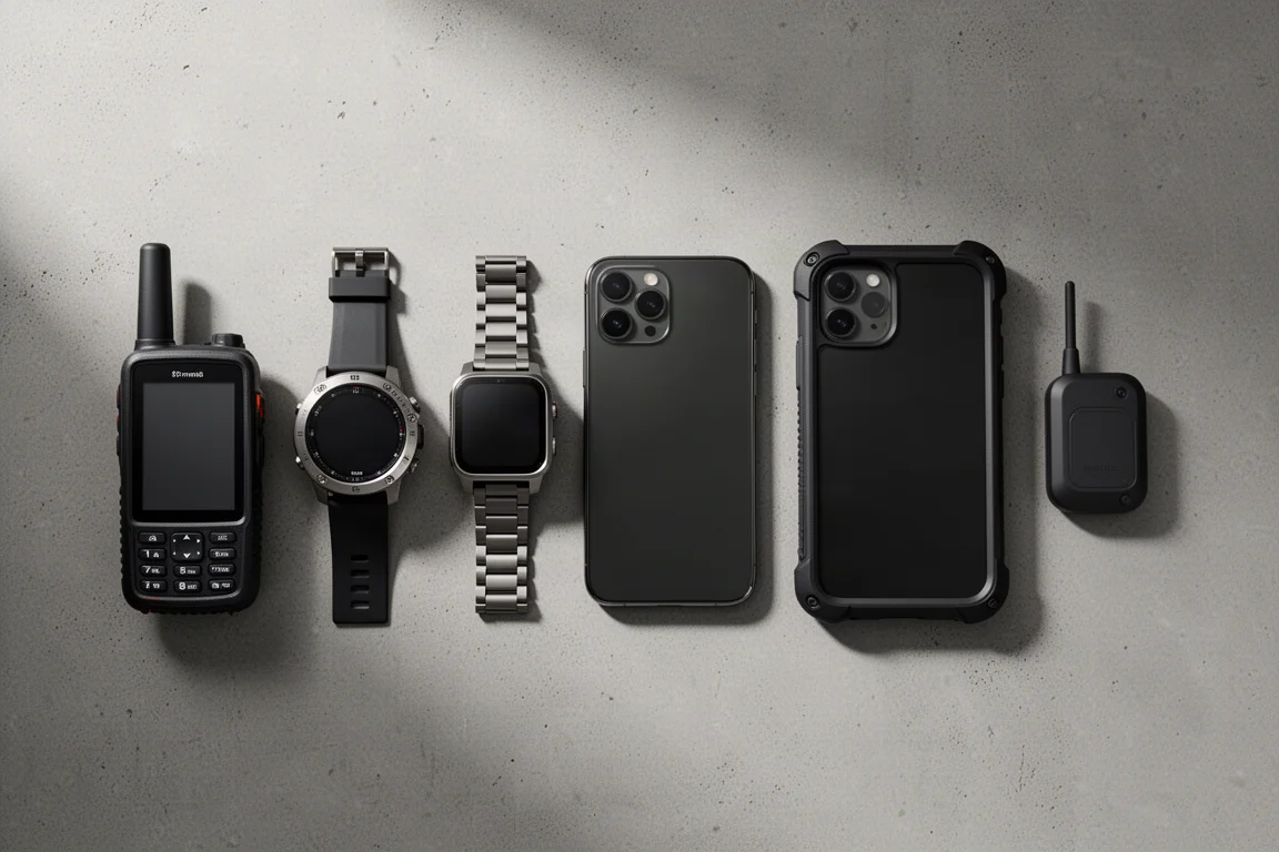
Six devices recorded the climb simultaneously:
- A Garmin GPSMAP 67i handheld with multiband and multi-GNSS positioning enabled
- A Garmin Epix Pro 51 mm watch with multiband and multi-GNSS positioning enabled
- An Apple Watch Ultra 2 recording through the WorkOutDoors app
- An iPhone 15 Pro Max running Gaia GPS
- A Ulefone Armor 23 Ultra, an Android phone running Gaia GPS with precise location services enabled
- A Garmin inReach Mini 2 with activity recording set to high detail
To avoid interference between units, they were split among several people walking the same route rather than carried together in one pack. Each recorded track was then overlaid on satellite imagery of the trail for comparison.

One caveat applies to every track. The satellite imagery used as the reference layer is not perfectly aligned along the whole route, and parts of the trail appear slightly smudged in the imagery. Small offsets near those spots can come from the reference map rather than from the device itself, which is why the clearest differences show up where a track wanders far from the trail line.
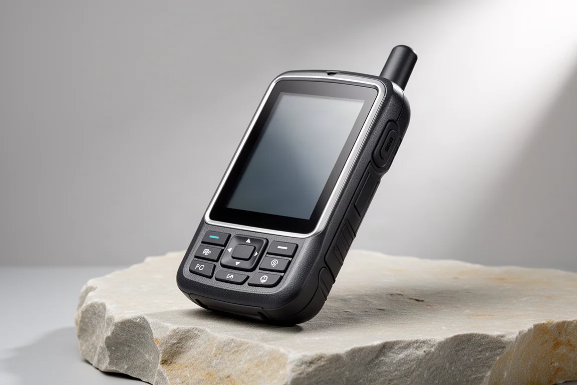
Garmin GPSMAP 67i
The handheld ran with multiband and multi-GNSS enabled. Through the Corkscrew it produced the cleanest track of the group, with the switchbacks clearly readable and the line staying on the trail rather than cutting across the wall. Earlier in the climb, through the open ground below O’Neill Butte and around Cedar Ridge, it tracked tightly alongside the rest of the devices.
For a device that is carried rather than worn, that consistency on the hardest part of the route is the main takeaway. Its recorded distance fell inside the narrow band shared by most of the group.
Garmin Epix Pro 51 mm
This watch also ran with multiband and multi-GNSS enabled, and it was one of the two strongest wrist-based performers on the switchbacks, holding a line close to the trail alongside the Apple Watch Ultra 2. At the Corkscrew it slipped slightly before picking the trail back up shortly afterwards.
That pattern is worth noting. Multiband positioning is not a guarantee of a clean line against a vertical rock wall, and even the better tracks on this route wobbled somewhere. What separated the strong results from the weak ones was how quickly a track recovered and how far it wandered in the meantime.
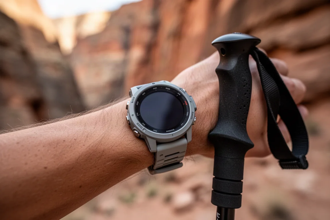
On the open sections of the climb the watch was effectively indistinguishable from the handheld, and its distance total sat inside the main cluster.
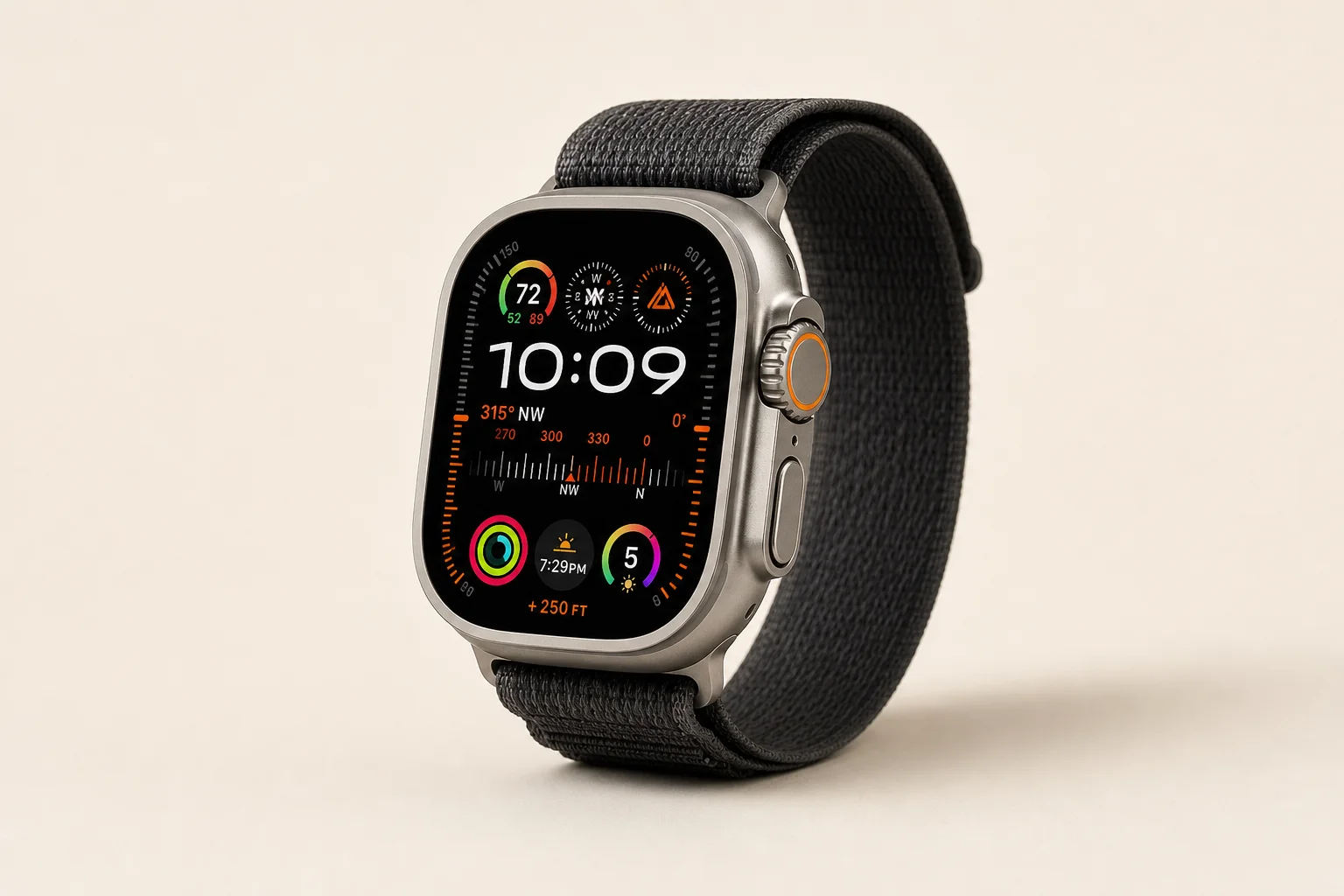
Apple Watch Ultra 2
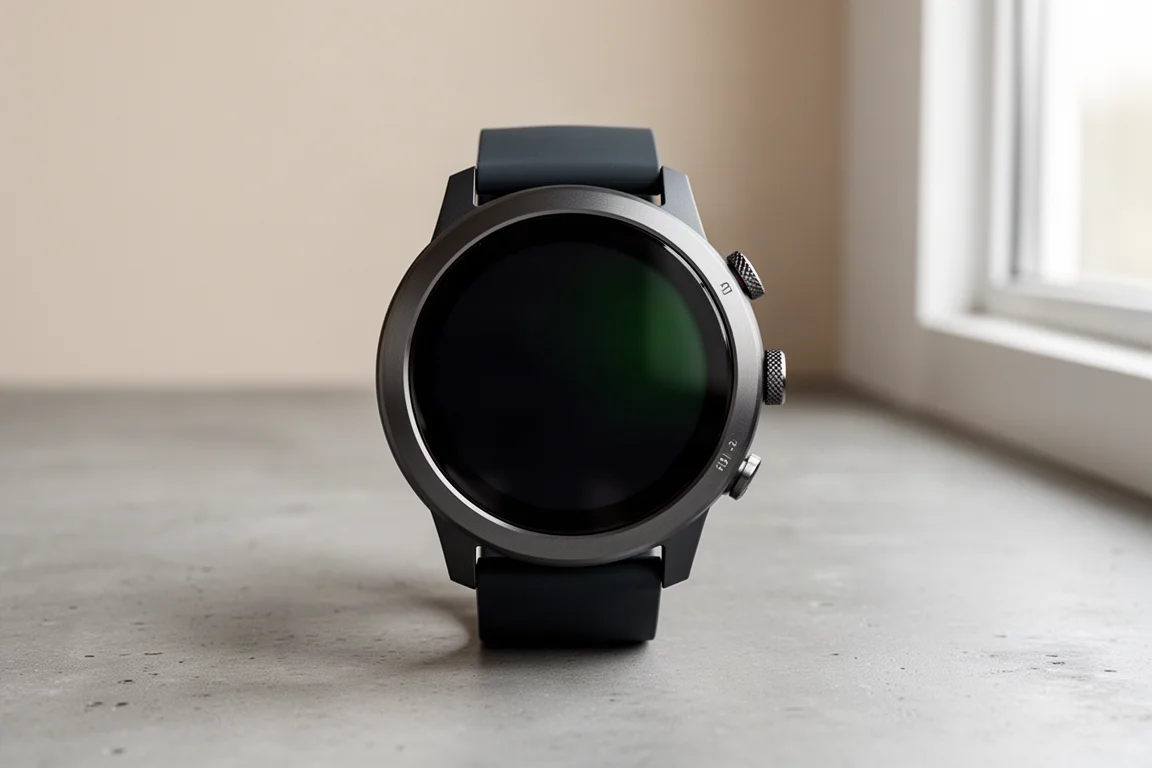
The Apple Watch Ultra 2 recorded the hike through the WorkOutDoors app. On the switchbacks it delivered one of the two best tracks in the group, matching the multisport watch closely. At the Corkscrew it struggled a little and drifted away from the trail line, but the offset stayed modest and the track remained usable rather than breaking up into scattered points.
Its recorded distance also landed inside the main cluster.
iPhone 15 Pro Max
The iPhone ran Gaia GPS. In a couple of places it drifted off the trail, including on the switchbacks, where its line sat away from the path for a stretch. Through the Corkscrew, though, it tracked well and looked close to the handheld’s line, which was one of the better phone results of the day.
That mix is worth keeping in mind. A phone track can be excellent in one section and loose in the next, so it pays to treat a phone as a capable but less predictable primary.
Its distance total landed inside the main cluster as well.
Ulefone Armor 23 Ultra
The rugged Android phone ran Gaia GPS with location services set to precise, meaning the app was reading the positioning data that Android supplied. It produced the least accurate track of the group by a wide margin.
It drifted early, in an open area with a clear view of the sky where the other devices had no trouble at all. Near O’Neill Butte it showed a large dropout, the kind of error more commonly associated with much older hardware. On the upper switchbacks it wandered well away from the trail, and at the Corkscrew it started in the wrong place and never fully recovered.
Its distance total was 3.5 miles, while every other device landed between 2.93 and 3.05 miles. Whether that comes down to the phone itself or to the location services stack feeding the app could not be isolated on this hike, since no second Android device was on hand for comparison. If you navigate with an Android phone, it is worth checking your own track against a known route before relying on it in unfamiliar terrain.
Garmin inReach Mini 2
The inReach Mini 2 is the only device in this group without multiband positioning. It uses multi-GNSS only, and activity recording was set to high detail.
That did not hold it back at the Corkscrew. Its track there was arguably better than the smartwatch tracks and clearly better than the multisport watch at the same spot, holding the switchbacks while other devices cut across the wall. It did drift on the switchbacks earlier in the climb before rejoining the trail, and its distance sat inside the main cluster.
The result is a useful reminder that hardware generation matters more than a single spec line. A compact multi-GNSS device can outperform multiband hardware in specific terrain.
Buying Advice
Five of the six devices finished within a tight distance band of 2.93 to 3.05 miles, which is an acceptable spread for measuring a hike. The exception, at 3.5 miles, sat far enough outside that band to be a genuine concern for anyone tracking mileage or training load.
If you want the most consistent track on technical terrain, a dedicated handheld with multiband and multi-GNSS is the safest choice, and the GPSMAP 67i was the cleanest of the group through the Corkscrew. If you would rather wear your navigation, both the multisport watch and the Apple Watch Ultra 2 performed well, with the multisport watch edging ahead on the switchbacks. A phone tracked well in places and drifted in others, which makes it a reasonable backup and a less predictable primary. The inReach Mini 2 is the interesting result: without multiband it still held the hardest section, which makes it worth considering if you want one small device for both tracking and remote communication.
The broader lesson is that multiband positioning improves your odds rather than guaranteeing a perfect line. Terrain, sky view, and how a device handles a moment of poor reception all shape the final track, and those differences only become obvious when you compare tracks on a route that punishes every error.
Conclusion
On a demanding canyon climb, five of the six devices produced tracks that any hiker would accept, and their distance totals clustered within a tenth of a mile of one another. The handheld delivered the cleanest line through the toughest switchbacks, the two watches were close behind, and the compact multi-GNSS tracker quietly outperformed more advanced hardware at the Corkscrew. The Android phone was the clear outlier, and its result is the one worth verifying on your own device before you trust it on a serious route.
Further reading
Related Reviews
Wearables
Apple Watch vs Garmin for Running: A Year of Training Compared
After a year training for marathons with both devices, here's what actually matters when choosing a running watch.
Backpacking Gear
Backpacking Gear List 2026: A Comfort-Focused Three-Season Kit
A comfort-focused three-season backpacking gear list covering the pack, shelter, sleep system, water treatment, cook kit and layering, with notes on what each piece is good for.
Backpacking Gear
Backpacking Gear You Rarely Use: First Aid, Satellite Messaging, and Navigation
Three pieces of backpacking gear that sit untouched on most trips and matter enormously on the one trip when they do not.