Outdoor Navigation Apps
Footpath App Review: Offline Apple Watch Navigation for Hikers
A practical look at the Footpath app for Apple Watch, covering offline maps, route planning, GPX imports, voice prompts, and what the premium subscription unlocks.

Introduction
Finding a navigation setup that works well from the wrist is harder than it looks. Phone-first hiking apps are excellent for planning, but on the trail the phone stays in a pocket, and a wrong turn is usually noticed too late. The Footpath app takes the opposite approach: it runs independently on the Apple Watch, so the watch alone can carry offline maps and deliver turn-by-turn directions while walking.
This review covers what the app does, how route planning works on the phone and in the browser, how GPX files from other sources come in, and what the premium subscription adds. It also covers the trade-offs worth knowing before committing.
Who the Footpath App Is For
Footpath suits hikers who already wear an Apple Watch and want navigation to live on the wrist rather than in a hand. It is a strong fit for anyone who plans routes in advance on a phone or computer and then wants the route, the elevation profile, and the turn prompts available without pulling out a phone.
It is also useful for people who collect routes from elsewhere. Trails downloaded as GPX files can be brought into the app, saved, and pushed to the watch, so an existing library of hikes is not wasted. The app covers a wide range of activities beyond hiking, including walking, running, and driving, and the chosen activity determines which types of paths and roads the planner routes along.

The trade-off is that the full watch experience sits behind a premium subscription. Planning and navigating on the phone is straightforward, but the Apple Watch app, offline map downloads, and the wider map library are part of the paid tier.
What You Get With a Premium Subscription
The premium tier unlocks the Apple Watch app, offline map downloads, and a couple dozen map sets for planning. Pricing sits at around $24 per year on the annual plan, or roughly $2 per month, which keeps the cost modest next to the price of an Apple Watch Ultra.
Map coverage is broad. The base layers are built on OpenStreetMap data, and the premium library adds Thunderforest Outdoors, satellite topographic imagery, live satellite imagery that carries a capture date so snow cover is visible before setting out, false colour, high-resolution United States imagery, and USGS topographic maps for the United States. International options include Ordnance Survey maps and other European sets, and a 3D satellite view helps show how steep a planned climb really is.
Main Strengths: Planning Routes on the Phone
Route planning in the app is quick. After choosing an activity and a map style, the planner lets you search for a trailhead and then draw the route directly on the map. Drawing snaps to trails automatically, and a magnet toggle turns snapping off when a straight line is needed. A long press on the path extends the route, an undo button steps back, and the eraser tool removes sections that were drawn by mistake.
Waypoints add context to a plan. Tapping a point on the route allows a waypoint to be named, and the icon updates to match the label, so a bridge or a water source is easy to spot later. Waypoints can be saved to favourites and reused across routes, and redrawing a line re-routes the path onto a different trail, which makes comparing options simple.

The elevation profile is calculated as the route is built, with gentler uphill sections shown in yellow and steep climbs in red. That colouring carries through to the watch, so the shape of the day is visible before leaving the house. When the route is finished, saving it and adding it to a list keeps a library organised by area or season.
Importing GPX Routes From Other Sources
Not every hike starts with a blank map. Routes downloaded as GPX files from other planning services can be imported through the settings screen, and files placed in an iCloud folder sync across automatically on devices with iCloud enabled. Imported routes are saved like any other route and can then be sent to the watch.
The browser planner follows the same logic on a larger screen. Routes can be drawn with on-screen tools, map layers can be swapped, and GPX files can be dragged straight into the planner before saving. From there, the route syncs to the phone and can be pushed to the watch.
Main Strengths: Navigating From the Apple Watch
On the watch, the route appears with a map, activity selection, unit choice, and map orientation. Data fields are customisable by holding on the screen, and scrolling up reveals additional data screens, an elevation plot that expands on a double tap, and an automatic zoom into the current climb. The digital crown zooms the map, and the action button can be programmed to toggle the map or speak the next turn.
Voice prompts do most of the work on the trail. The app calls out approaching waypoints such as a bridge, announces junctions with instructions like turning right, and gives the distance to the next change, for example continuing on a named trail for half a mile. Trail names load onto the route automatically rather than needing to be typed in. If a turn is missed, the app states that the route is a set distance ahead and to which side, which is far more useful than a silent error.
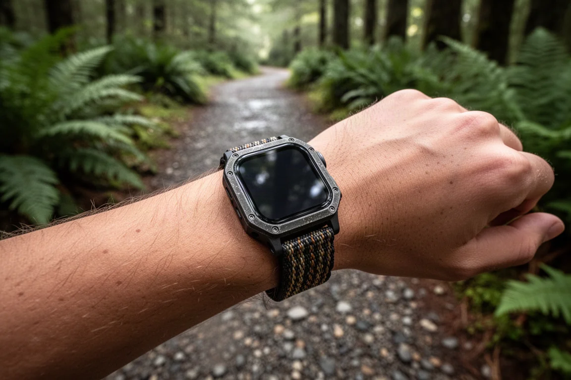
The cue sheet mirrors the same information in list form, and tapping an entry shows where that turn falls on the map. Time estimates adjust for climbs and descents rather than applying a single flat pace, and the average speed can be dragged to match a personal hiking pace. Pressing the crown and the side button together pauses and resumes the app.
Things to Consider Before Buying
The main consideration is the subscription. The watch app, offline maps, and the extended map library all sit behind the premium tier, so the app is only worth it if that side of the experience matters.
Offline maps download for the area around a chosen route rather than an entire region, and they can be removed afterwards, which keeps storage under control but means each new hike needs its own download.
Apple Watch allows only one app to track a workout at a time. A toggle lets Footpath run alongside another workout app, in which case Footpath handles navigation and still records, while the official workout that reaches Apple Health comes from the other app. Recorded tracks can be sent to Apple Health and from there to third-party tools for archiving.
Buying Advice
For an Apple Watch owner who hikes regularly, the case for the premium subscription is straightforward. Turn-by-turn prompts from the wrist, offline maps that work without a phone, and a planner that snaps to real trails cover the three things that matter most on a hike: knowing the route, knowing the elevation, and knowing where to turn.
The annual plan at roughly $24, or about $2 per month, is small next to the cost of the watch itself. A free trial is the sensible first step. Plan one familiar hike, download the offline maps, send the route to the watch, and see how the voice prompts land on a trail you already know. If the prompts arrive at the right moments and the watch screen stays readable at a glance, the subscription earns its place.

Conclusion
Footpath covers both halves of hiking navigation well. The phone and browser planners handle the preparation, with trail snapping, waypoints, elevation colouring, and GPX imports from other services. The watch app handles the trail itself, with offline maps, customisable data screens, a cue sheet, and voice prompts that keep attention on the path instead of the screen.
The premium subscription is the gate, and it is the one thing to weigh before buying. For hikers who want their watch to be the navigation device rather than a second screen for the phone, the combination is a practical and well-priced option.
Product link
View more details for Footpath App
This product is mentioned in the review. Check the specifications, options, and compatibility before buying.
View more details for Footpath AppFurther reading
Related Reviews

Outdoor Navigation Apps
AllTrails Plus Review: Is the Paid Tier Worth It for Hikers?
AllTrails Plus adds offline map downloads, weather overlays, live tracking, and off-course alerts on top of a free trail database that is already genuinely useful.

Outdoor Navigation Apps
WorkOutdoors Review: Turning an Apple Watch Into a Serious Hiking Navigator
A practical look at WorkOutdoors, the paid Apple Watch app that adds GPX route following, offline trail maps, custom data screens, and off-route alerts for hikers.

Backpacking Gear
Building a 10 lb Base Weight: An Ultralight Backpacking Gear List
A practical walkthrough of the ultralight pieces behind a 10 lb base weight, from a 765 g pack and a roomy one-person tent to a full camp chair and a dependable water filter.